Quick Summary
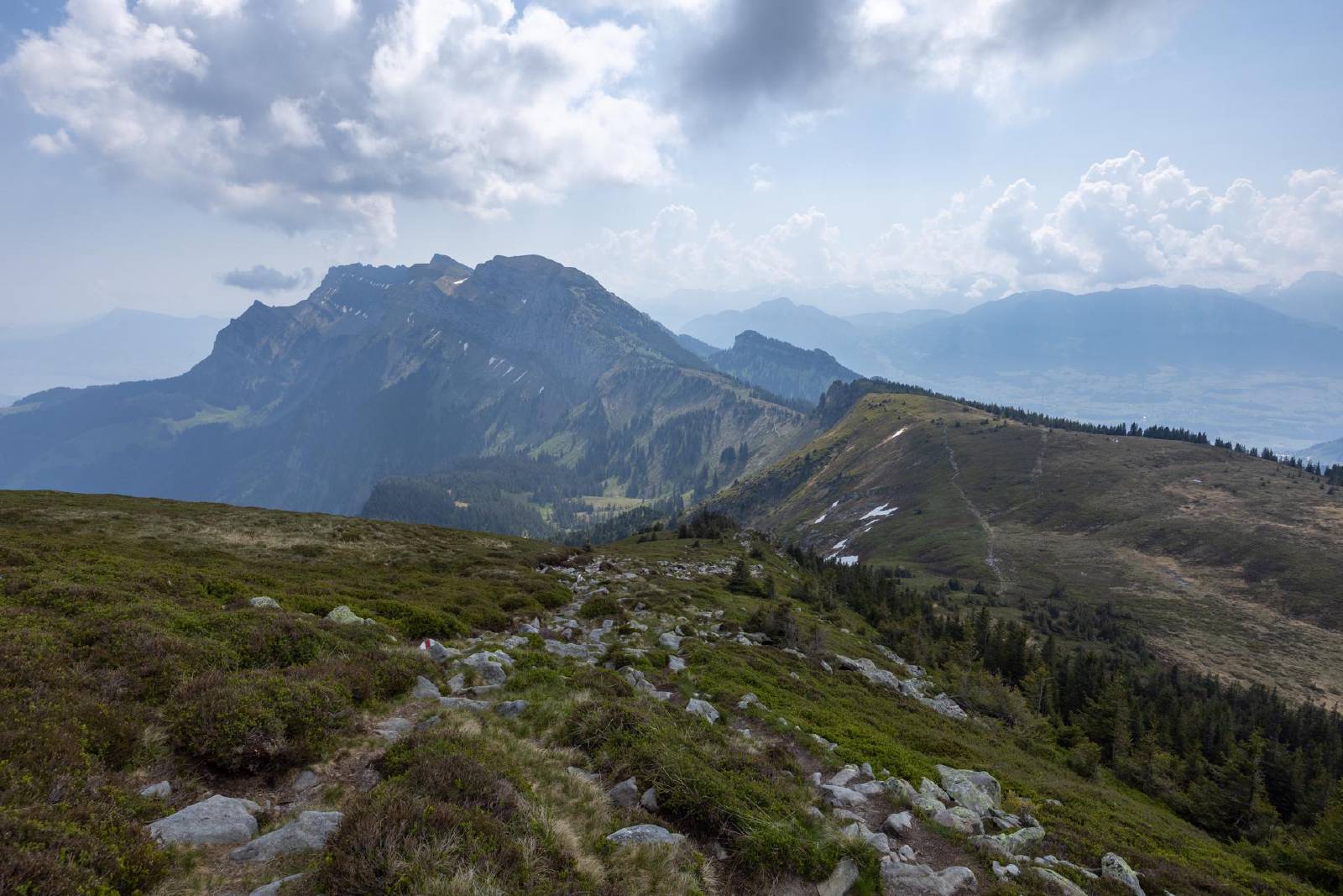
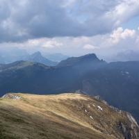
- A scenic but very exposed hike along the entire western ridge of the Pilatus.
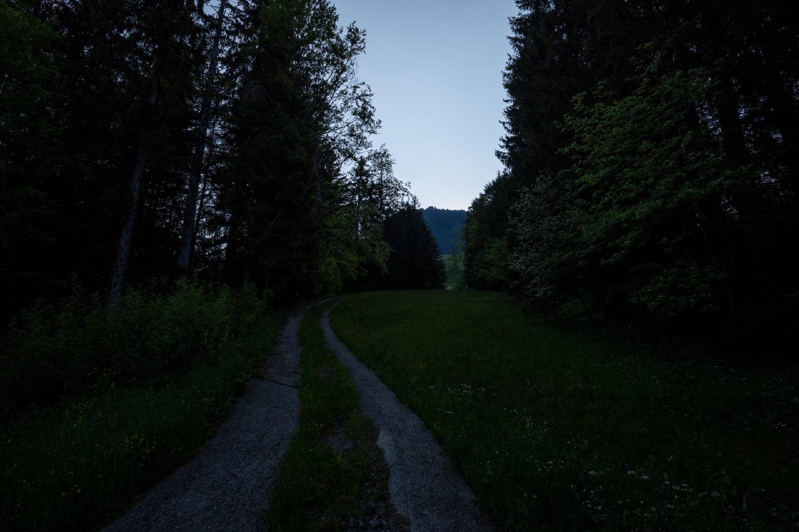
- Started in Gfellen.
- Took the train to Entlebuch and then had a short ride with the PostAuto to Gfellen.
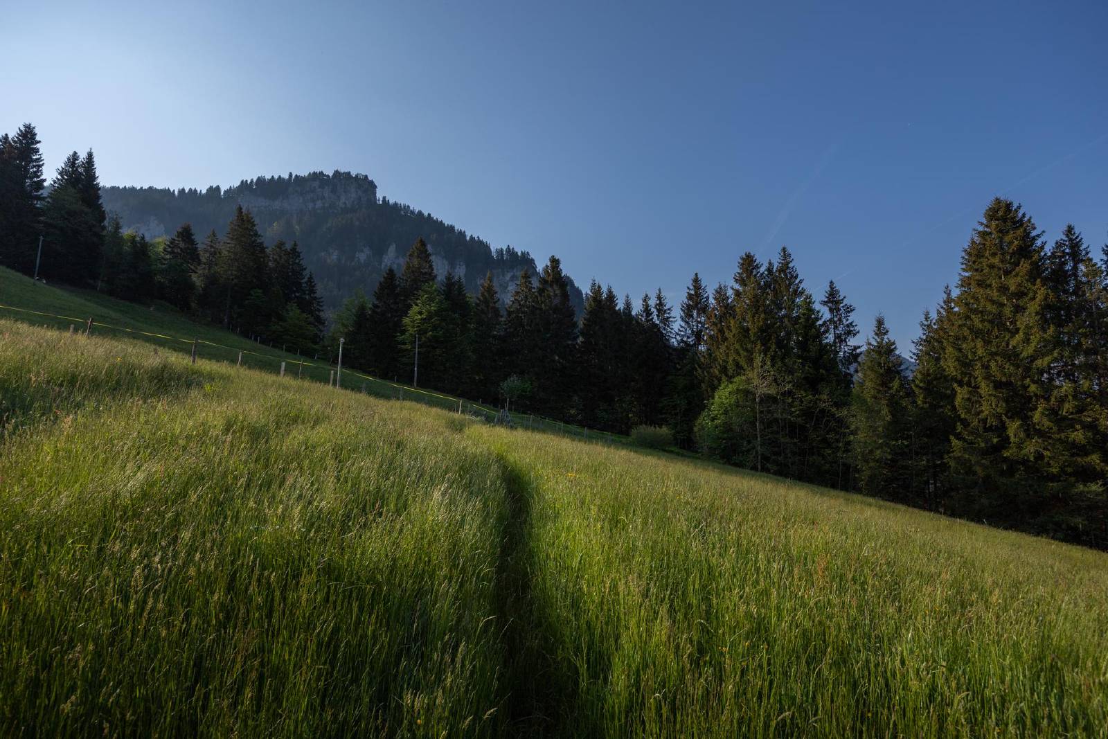
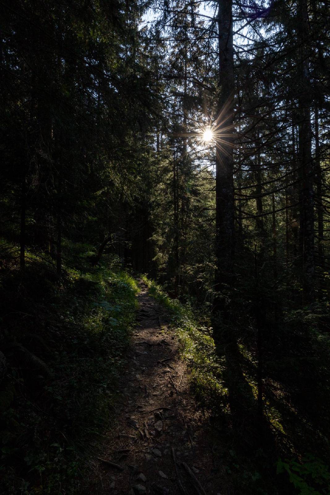
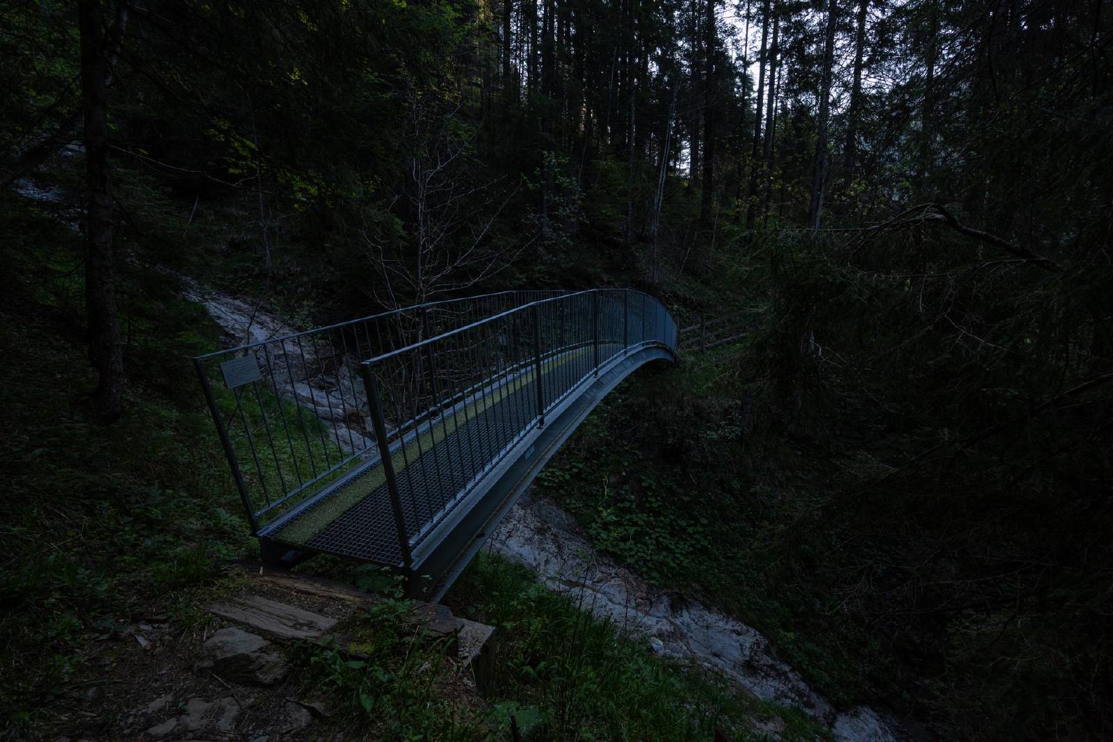
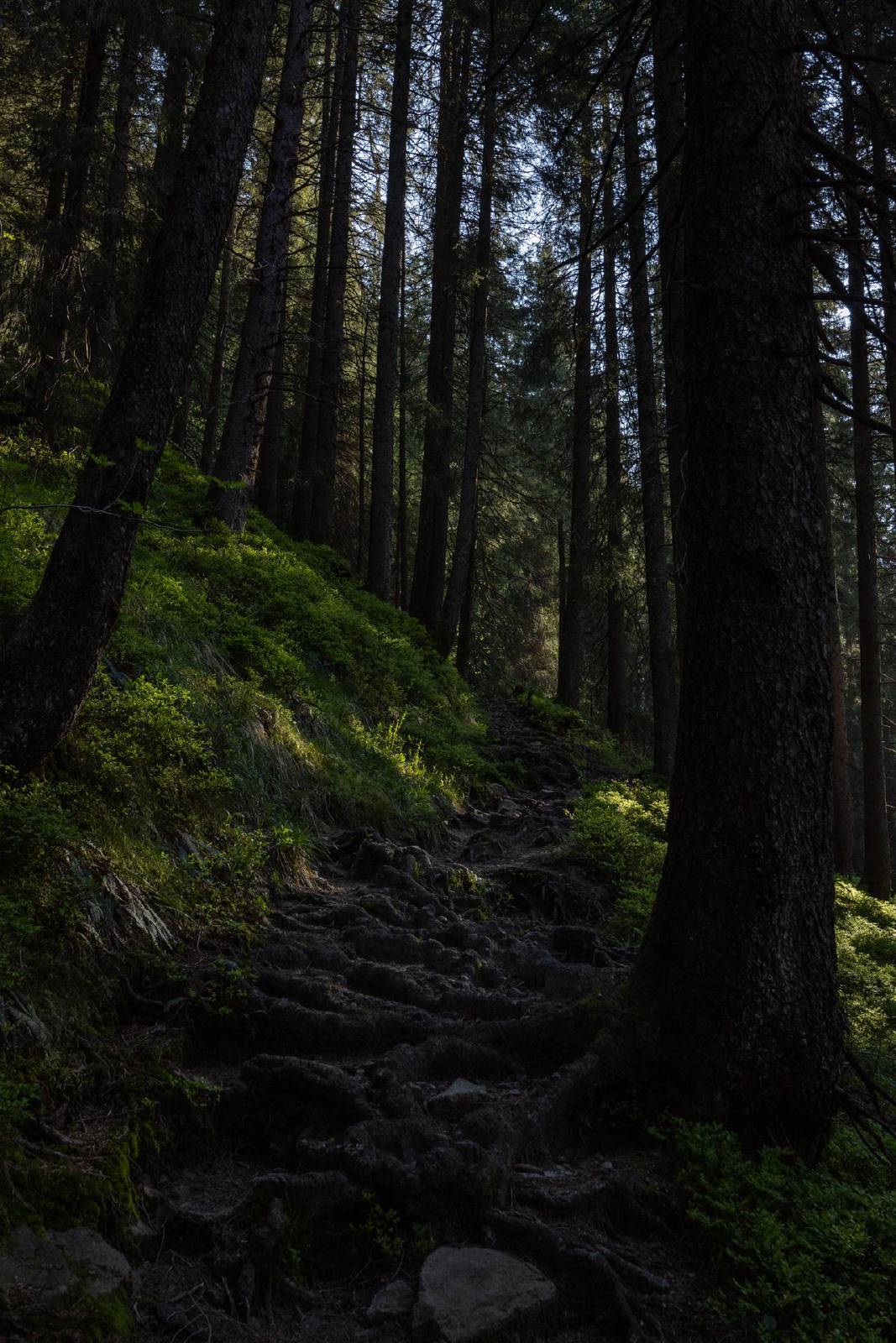
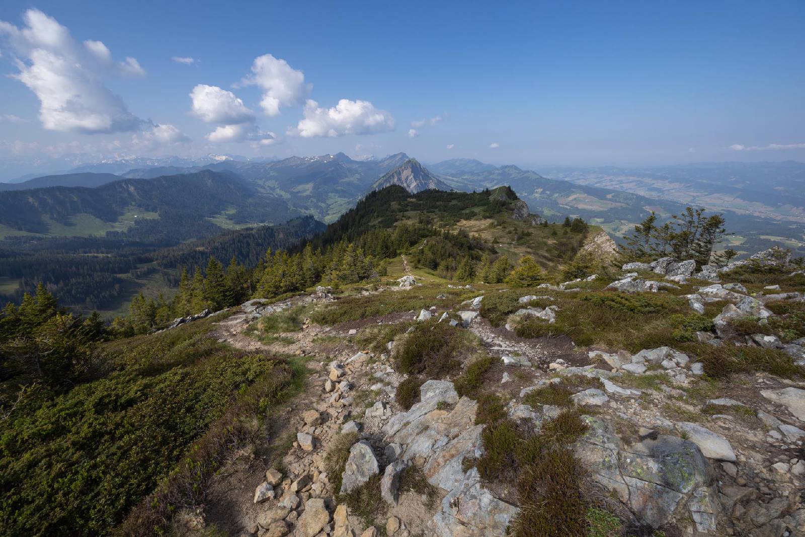
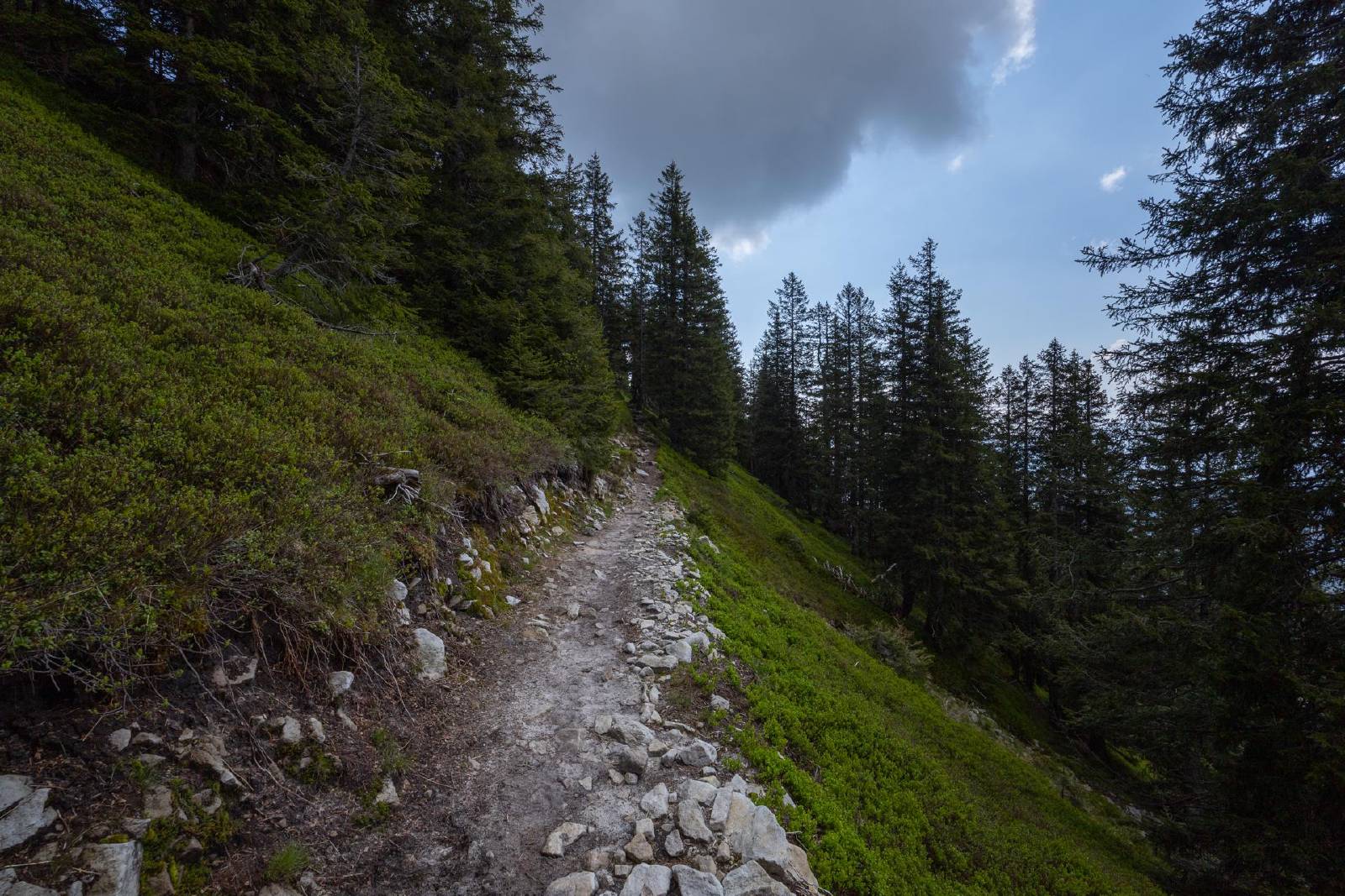
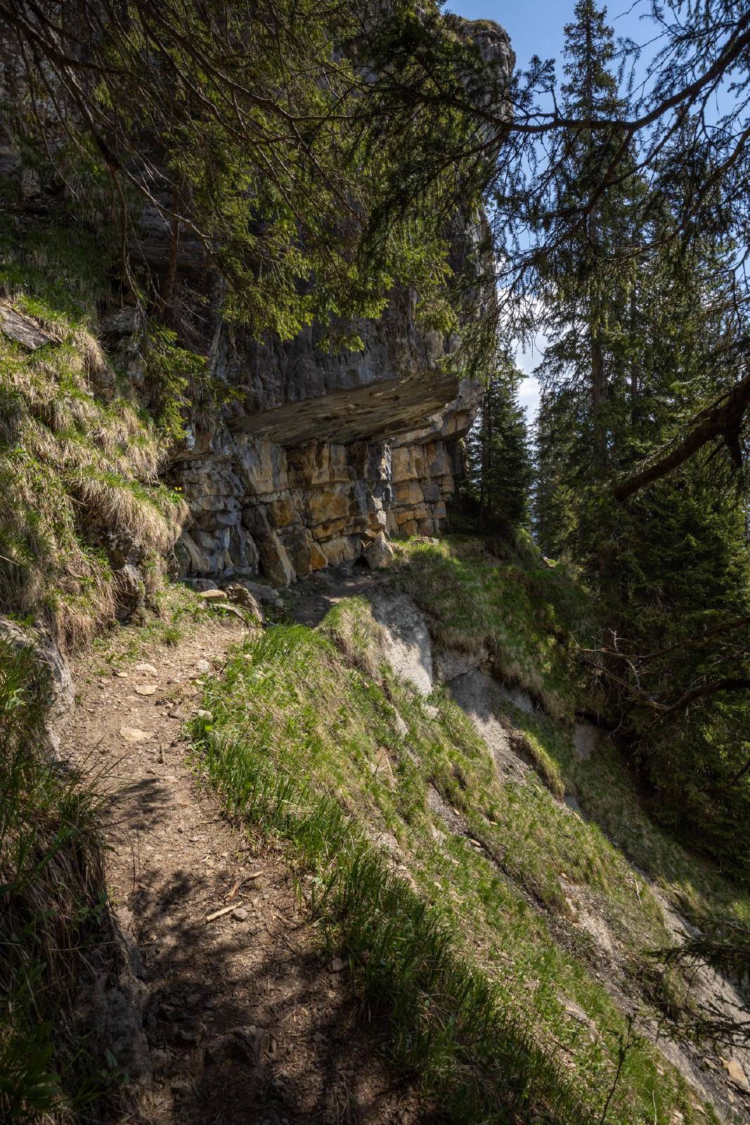
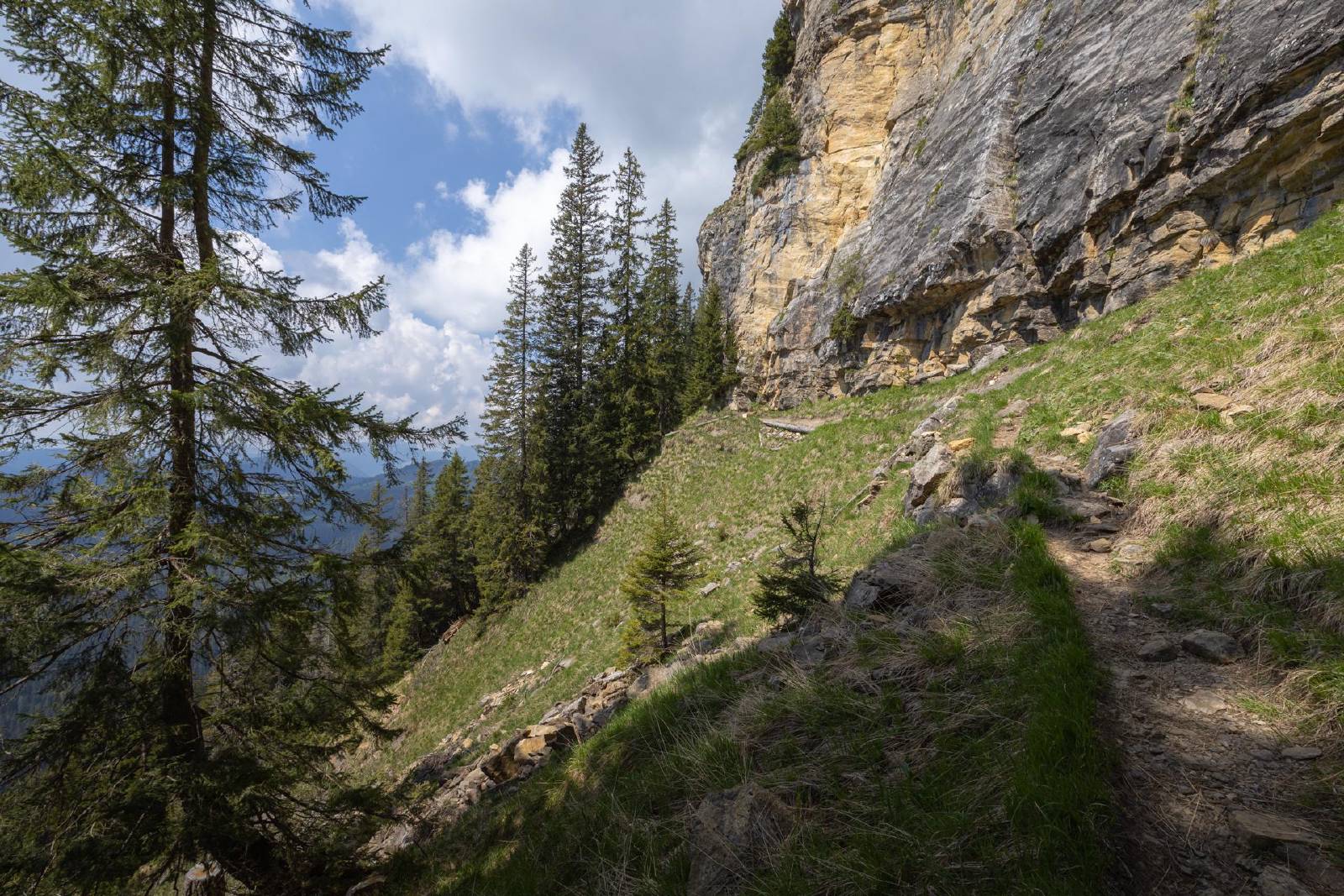
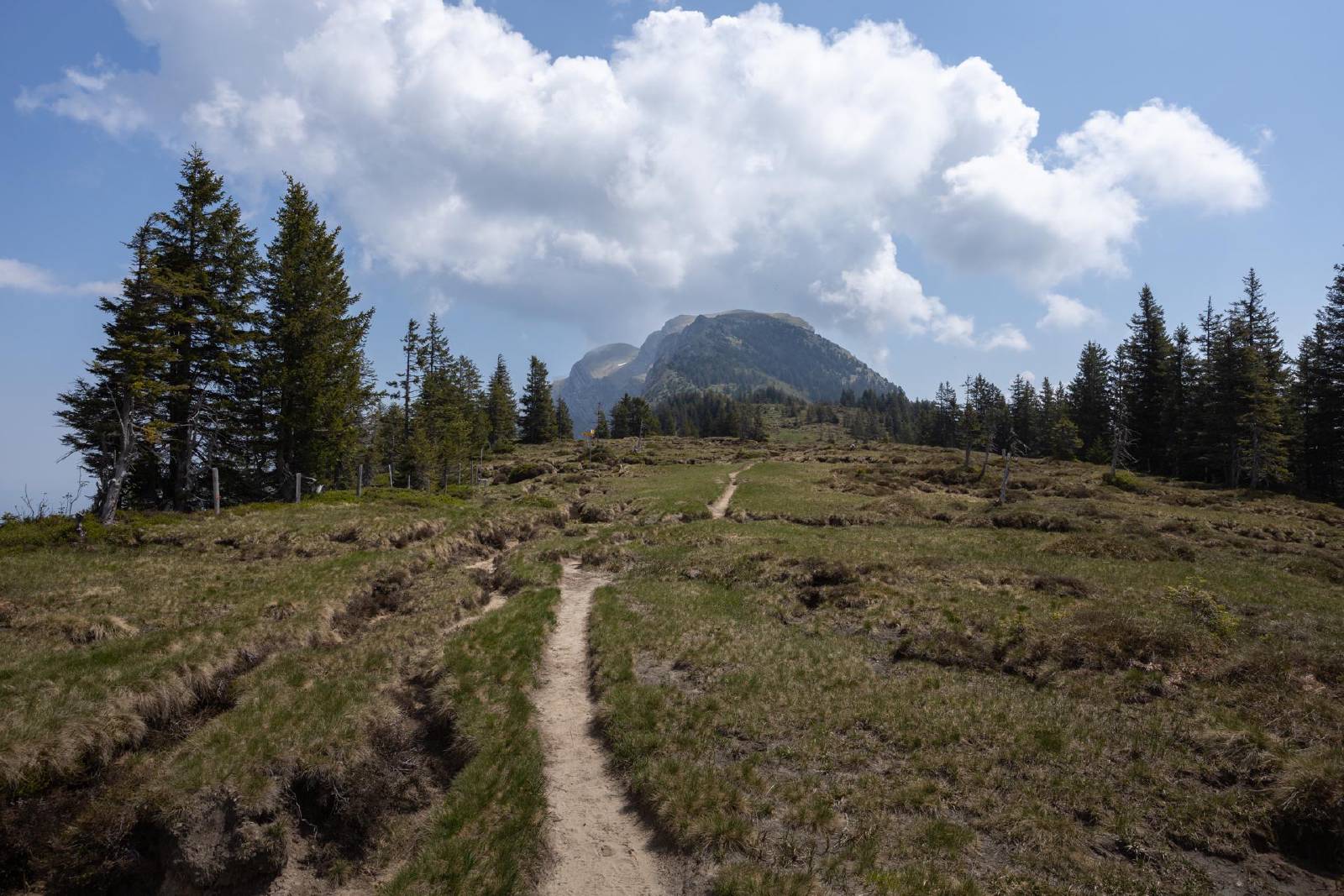
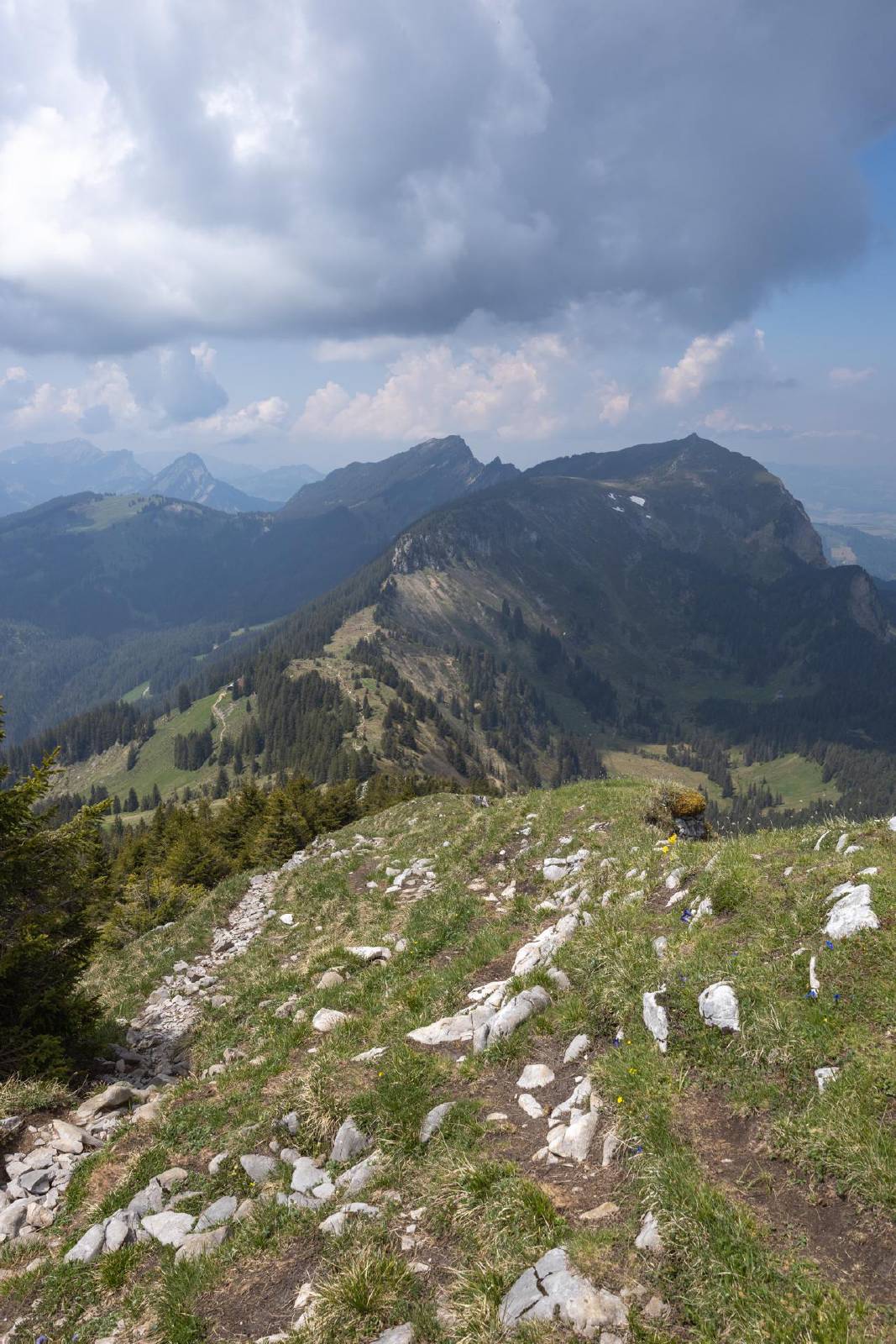
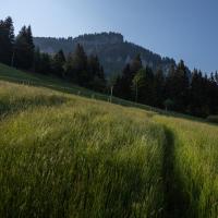
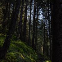
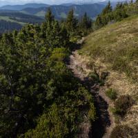
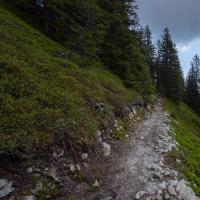
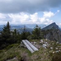
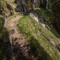
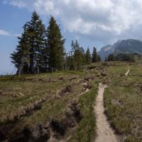
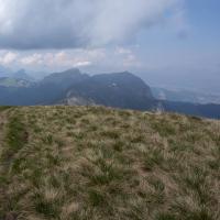
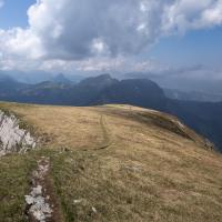
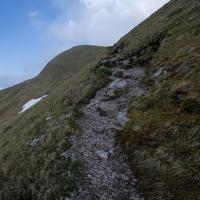
- The first portion of the hike was through grassy fields and then a densely forested area.
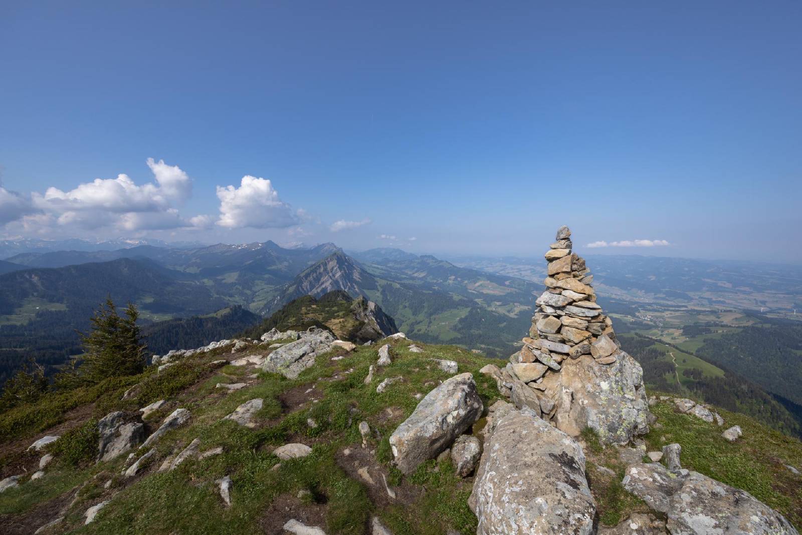
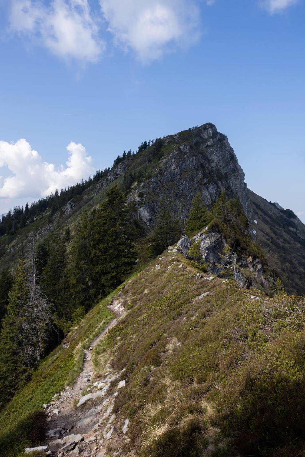
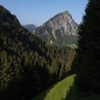
- The ascent up to the first peak (Blaue Tosse) was somewhat steep but not particularly exposed.
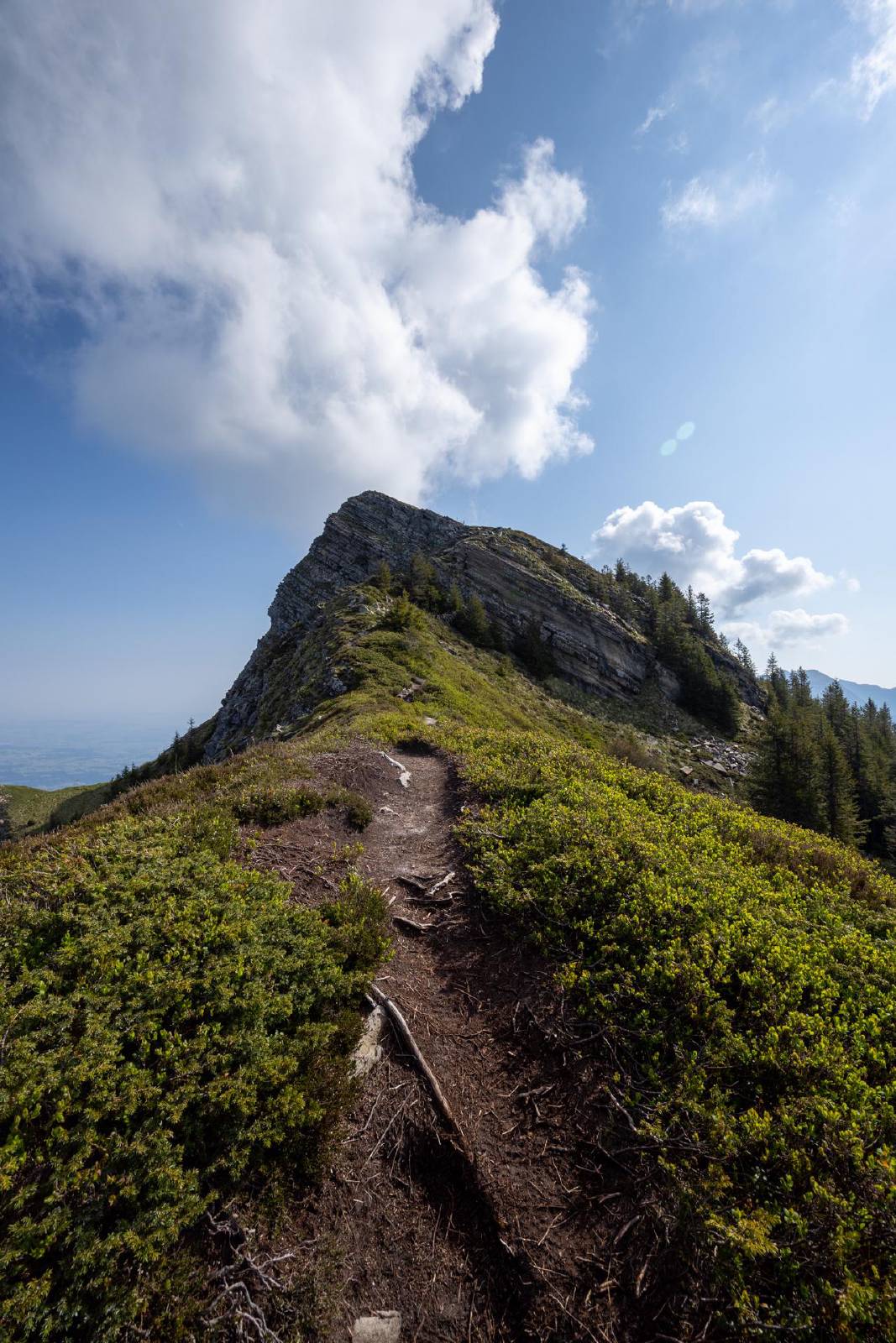
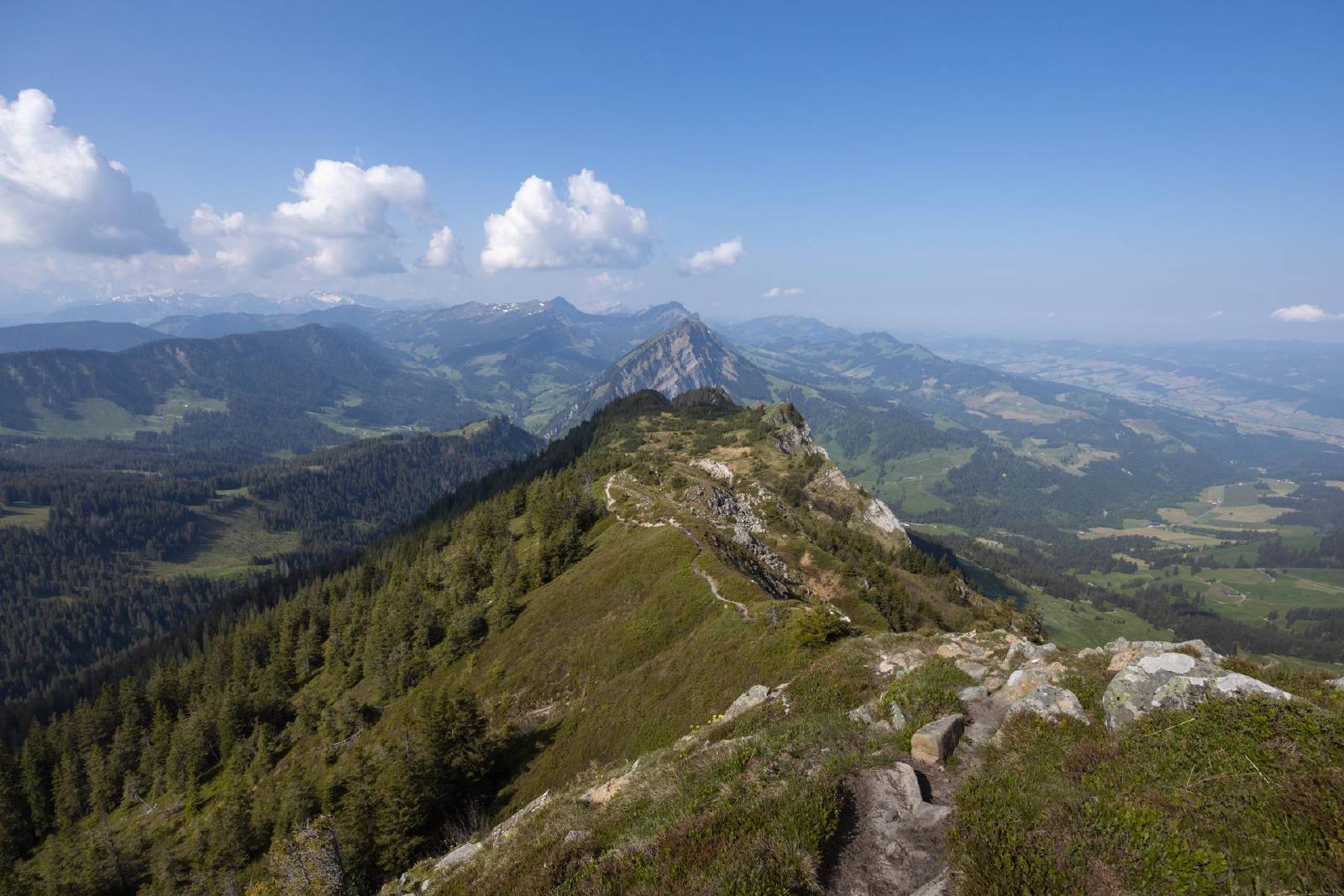
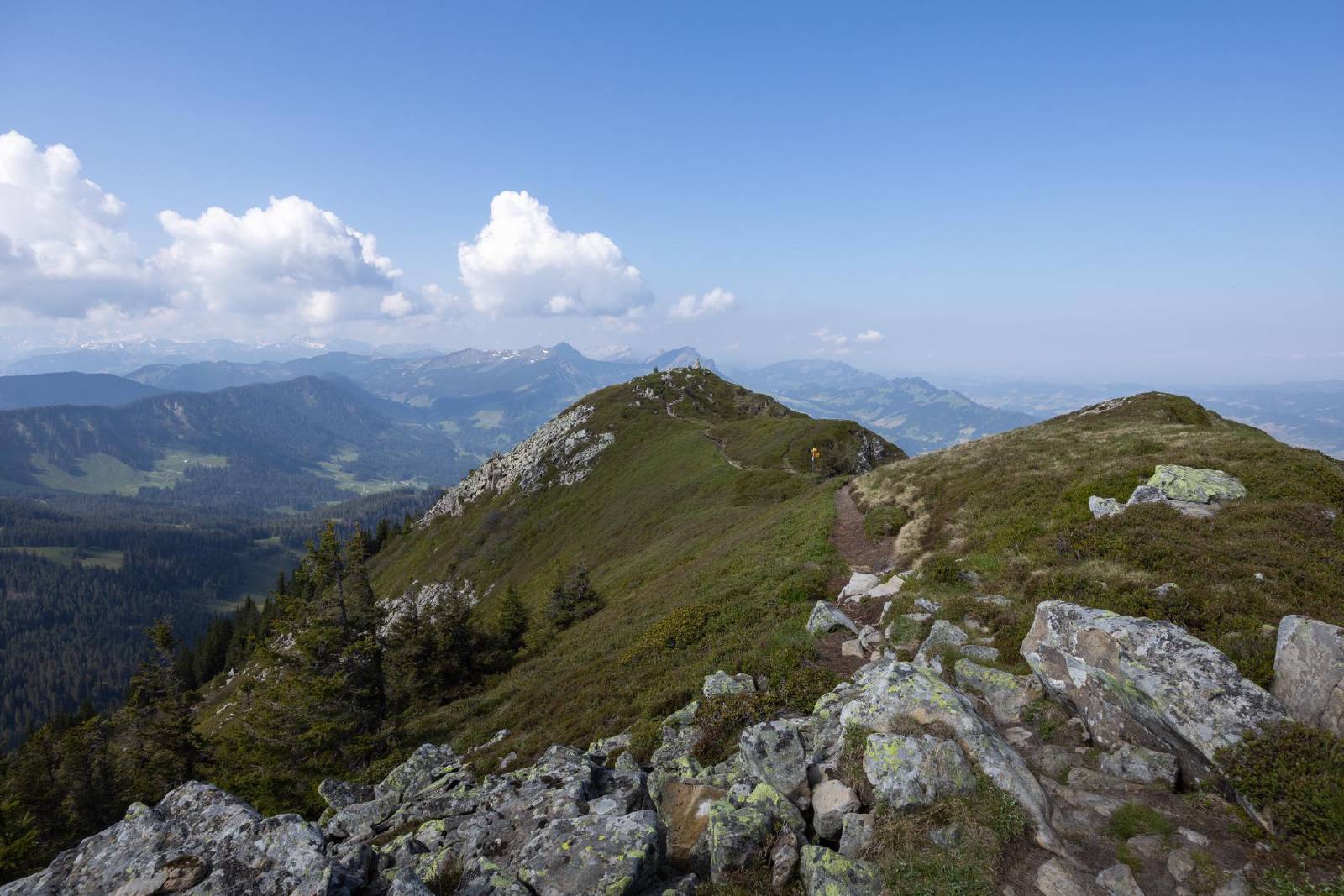
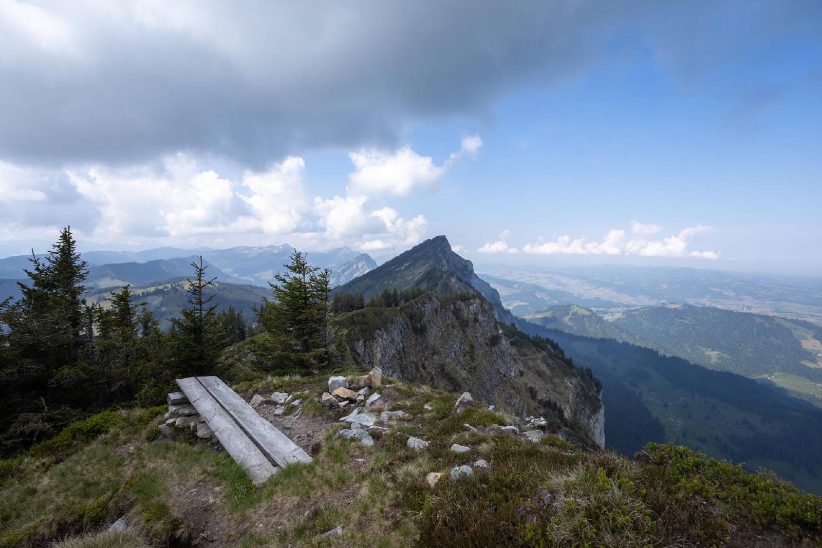
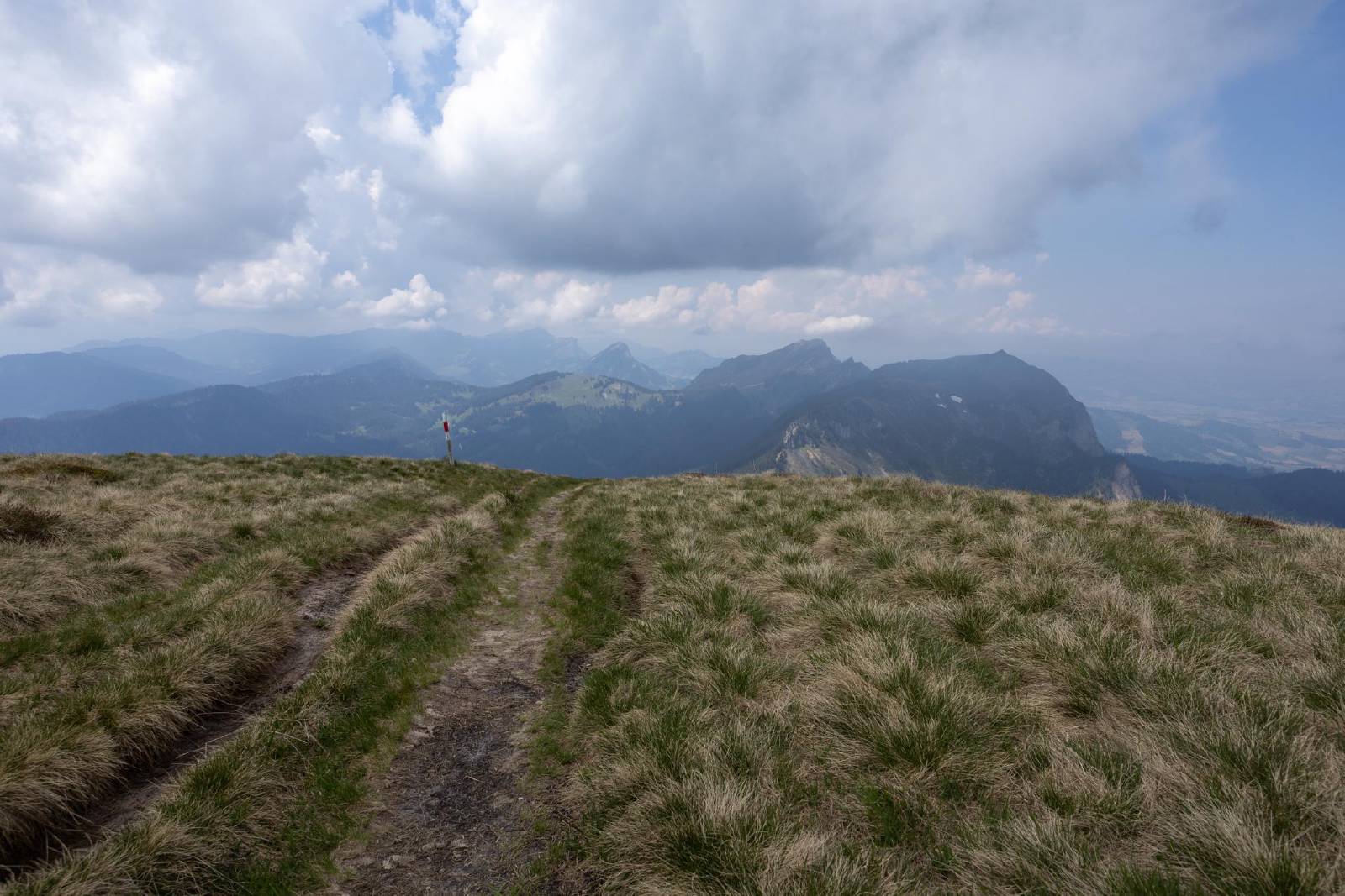
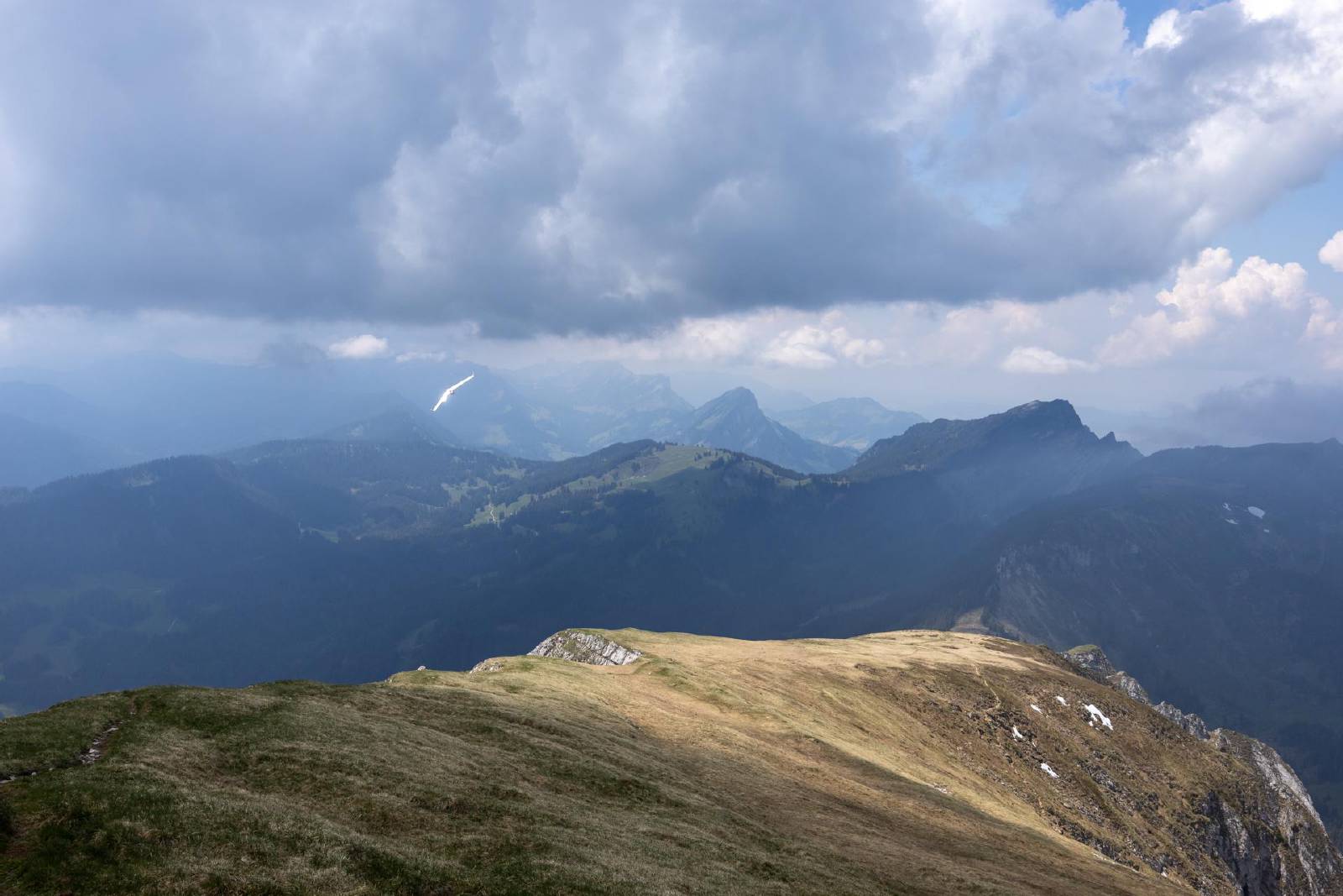
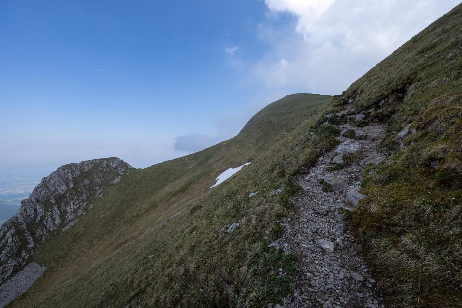
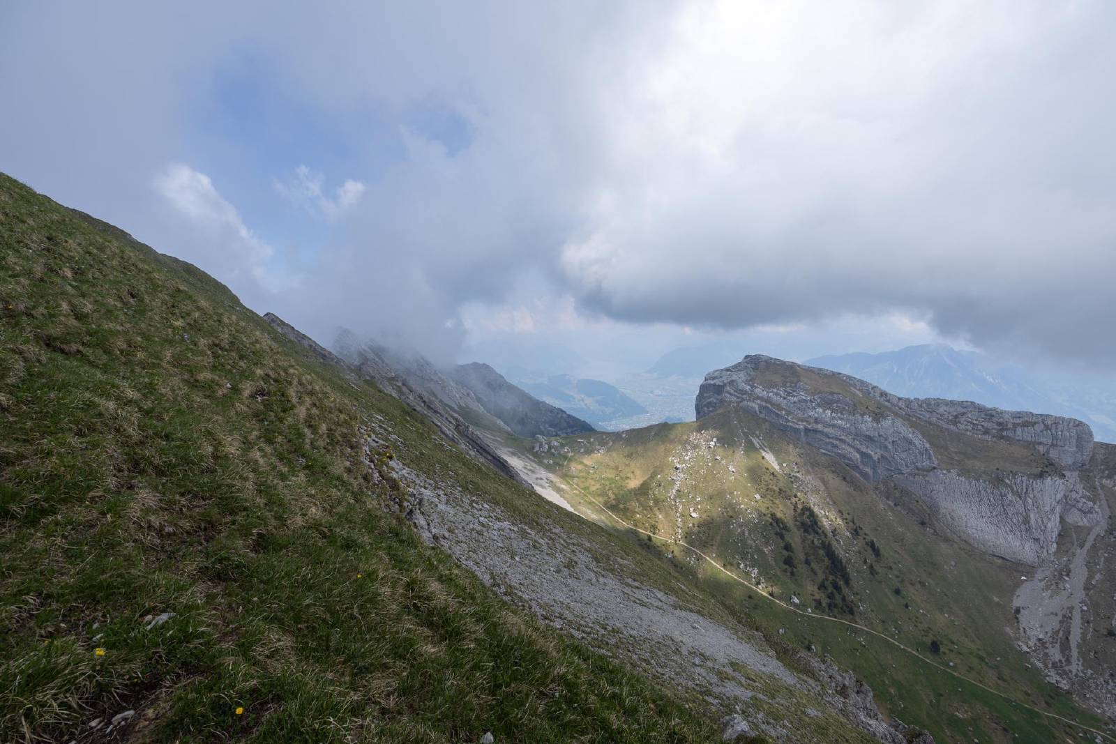
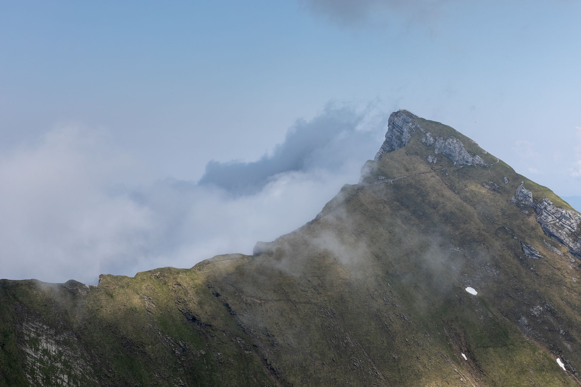
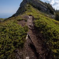
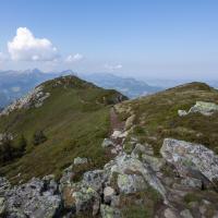
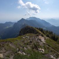
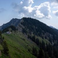
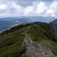
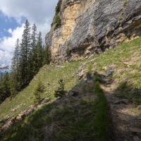
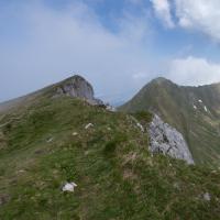
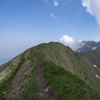
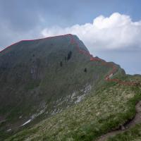
- The ridge traverse started after the Blaue Tosse.
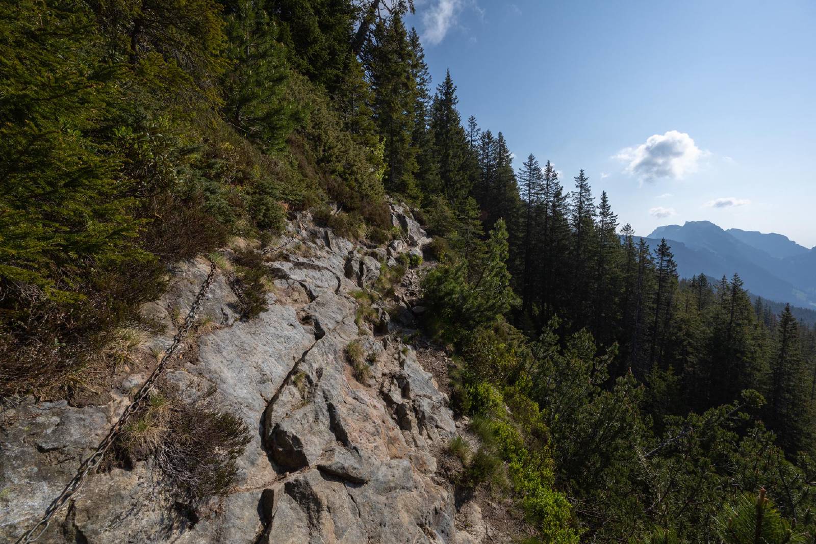
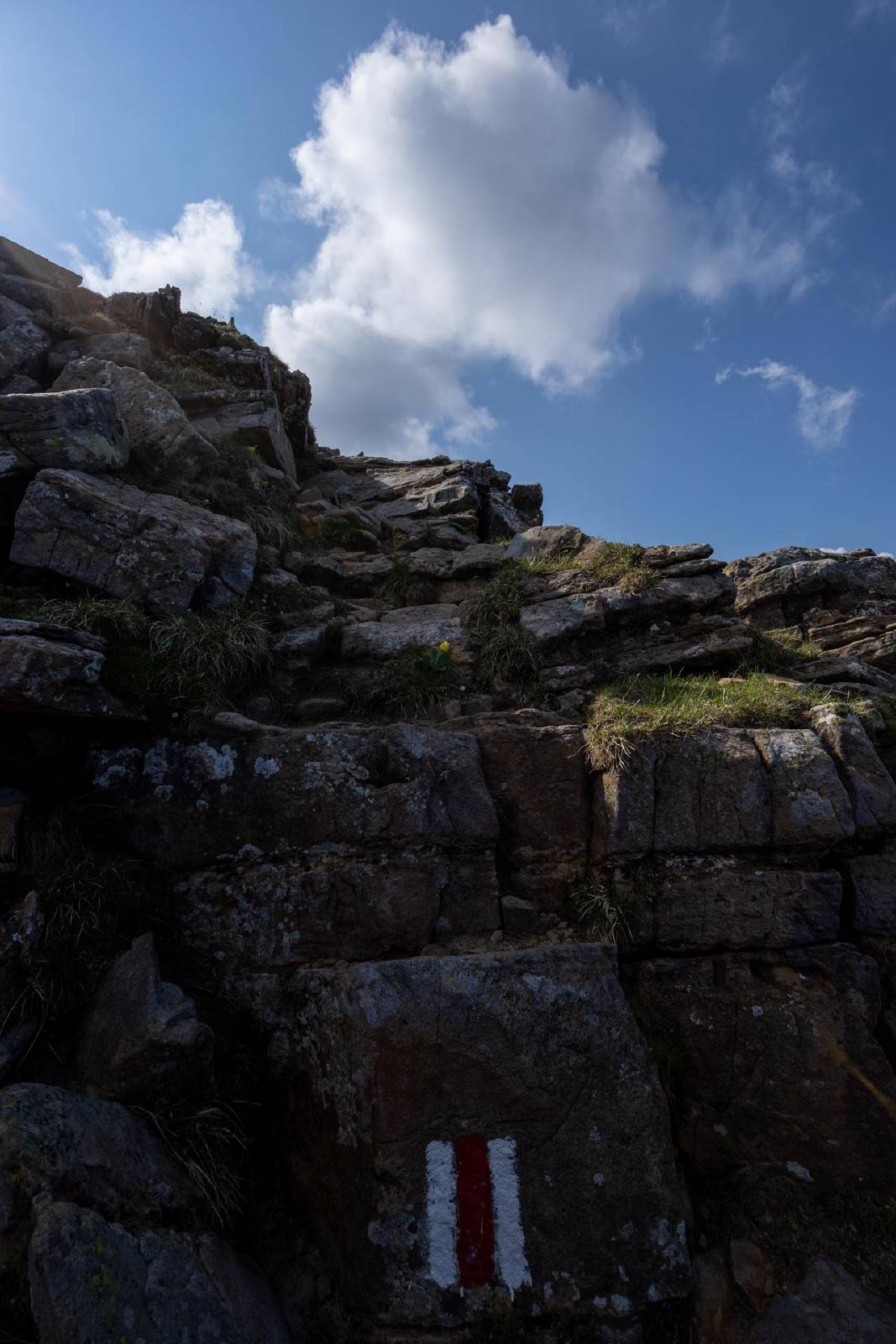
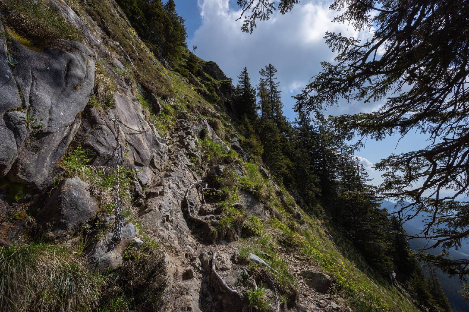
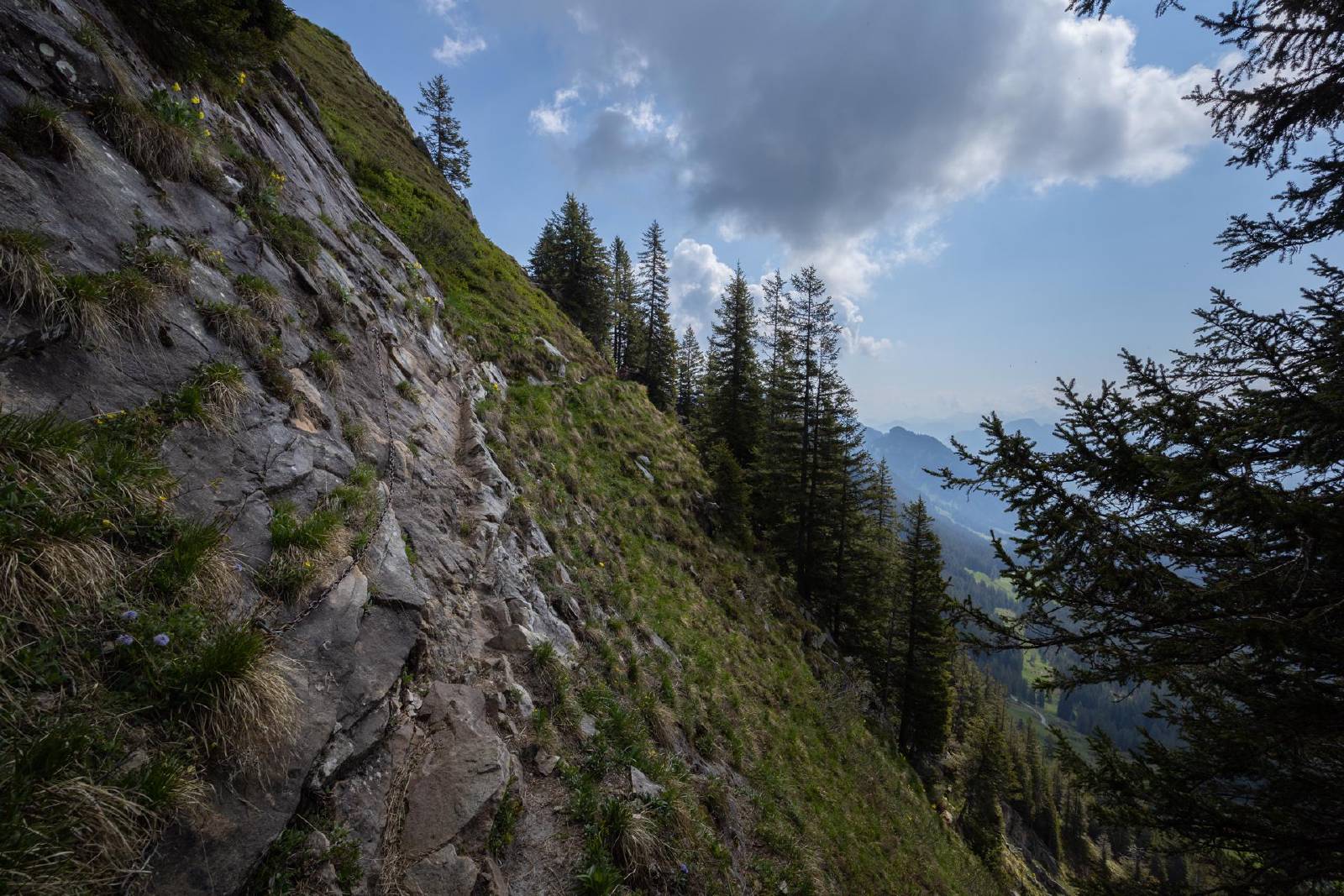
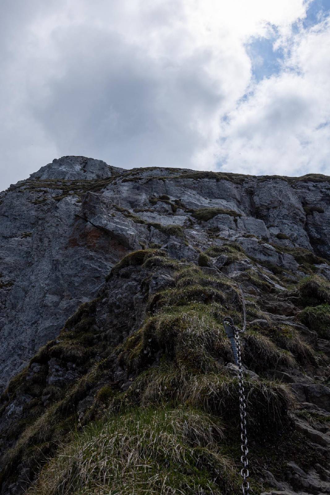
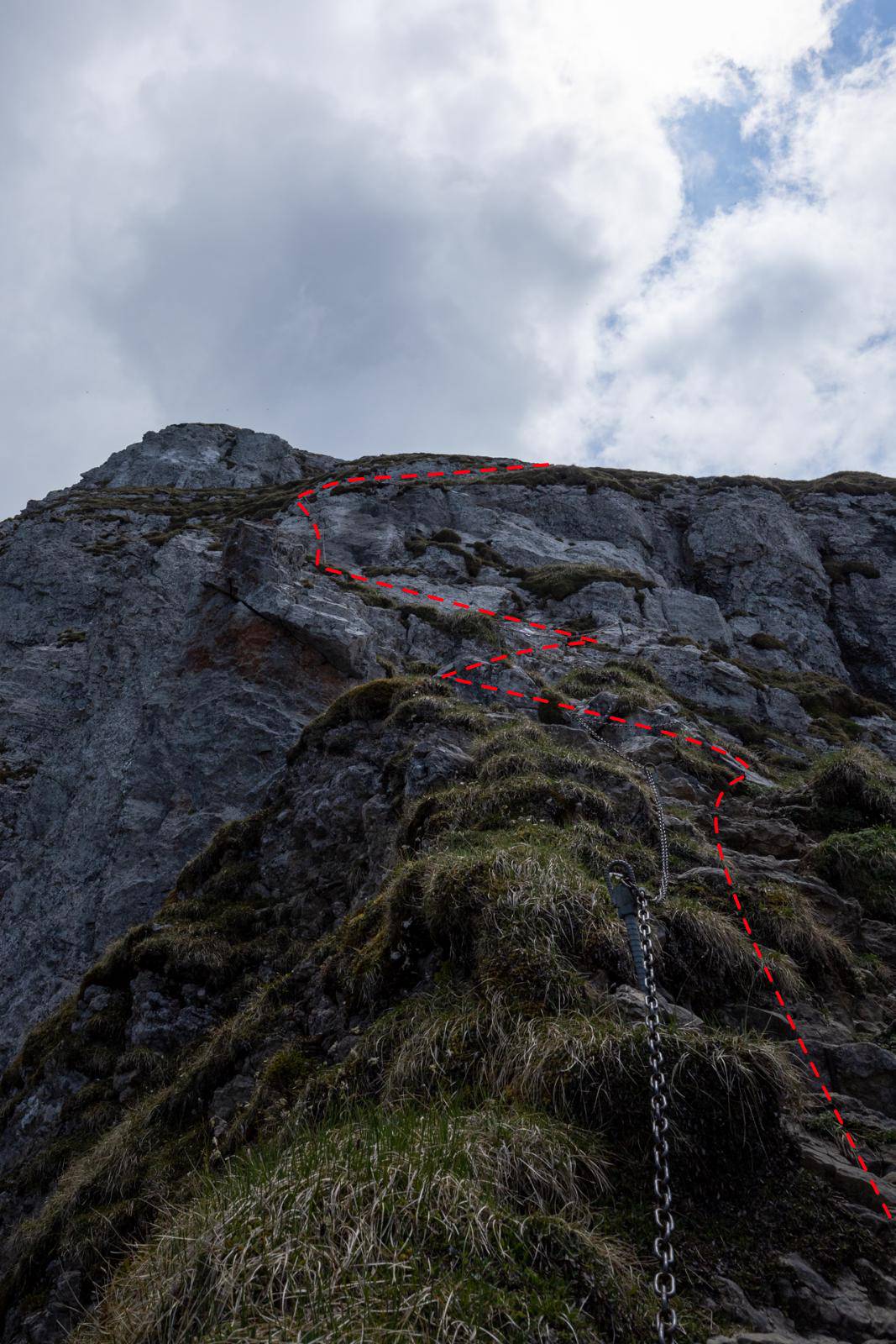
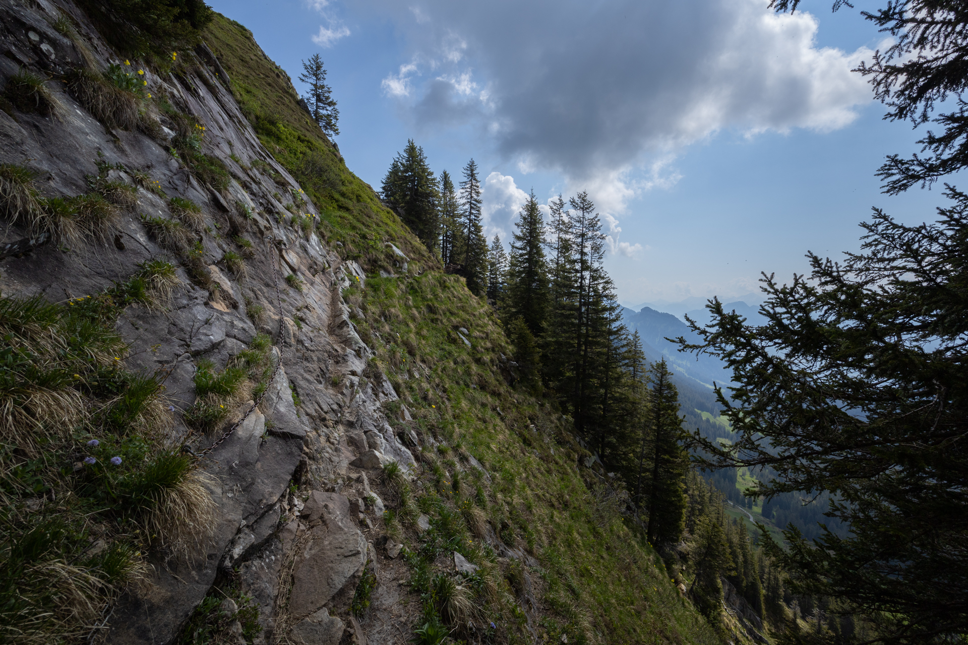
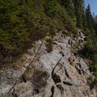
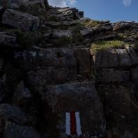
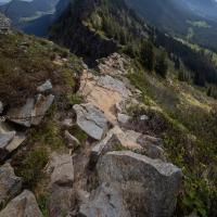
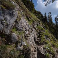
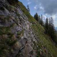
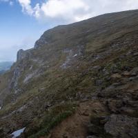
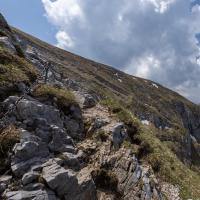
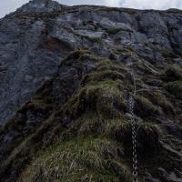
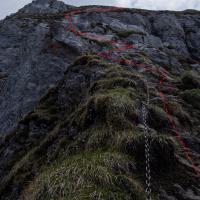
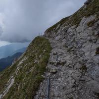
- There were several exposed sections on the way to the Tripolihütte, but most of the trickier sections were secured by chains.
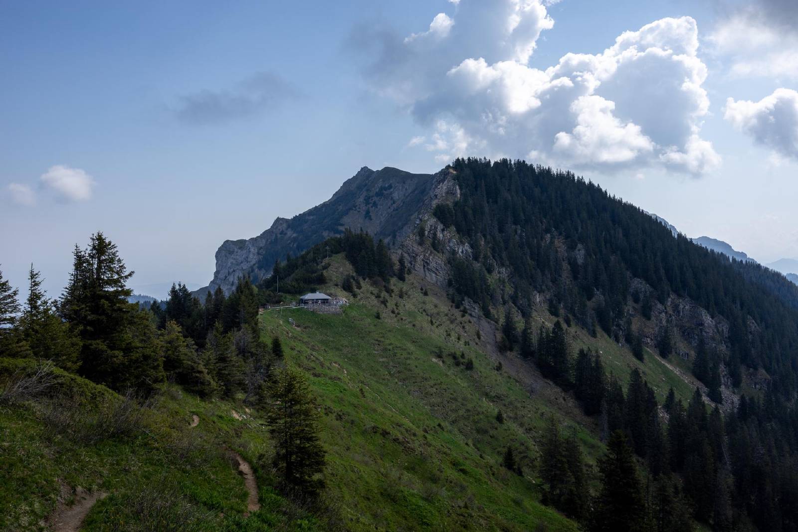
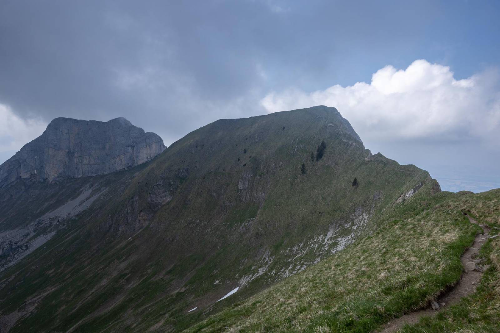
- The ascent up to the Mittaggüpfi was somewhat steep but it was, again, well secured by chains.
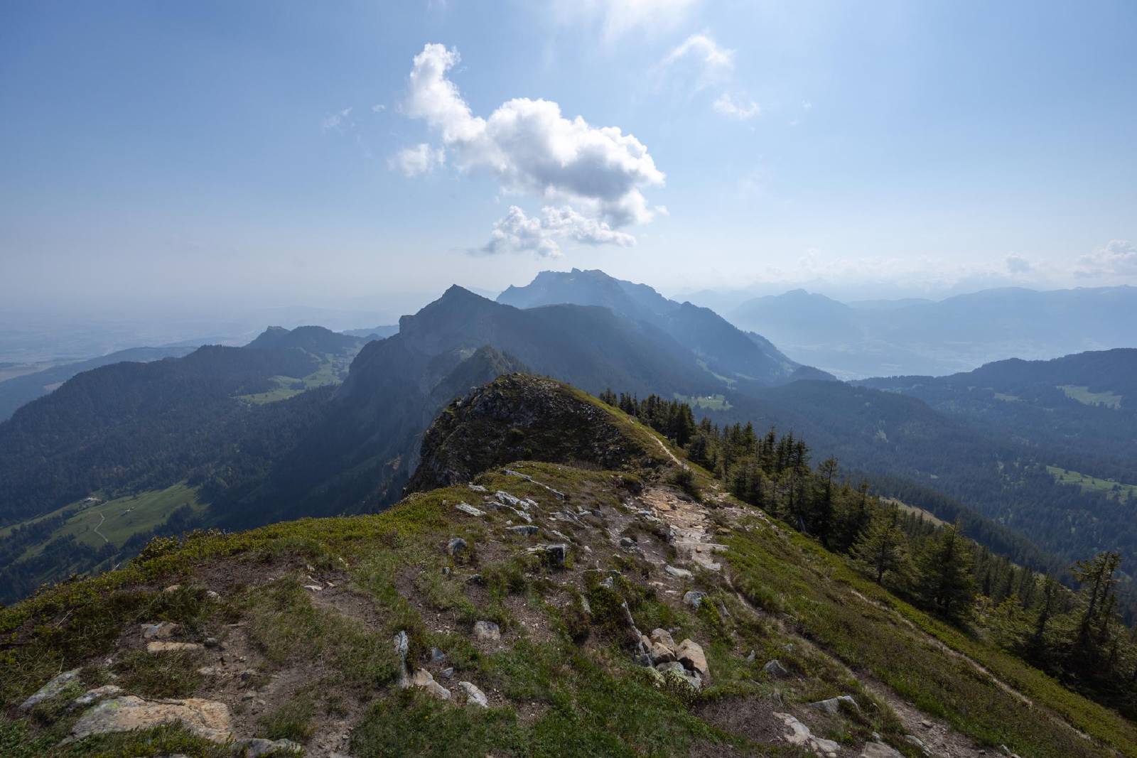
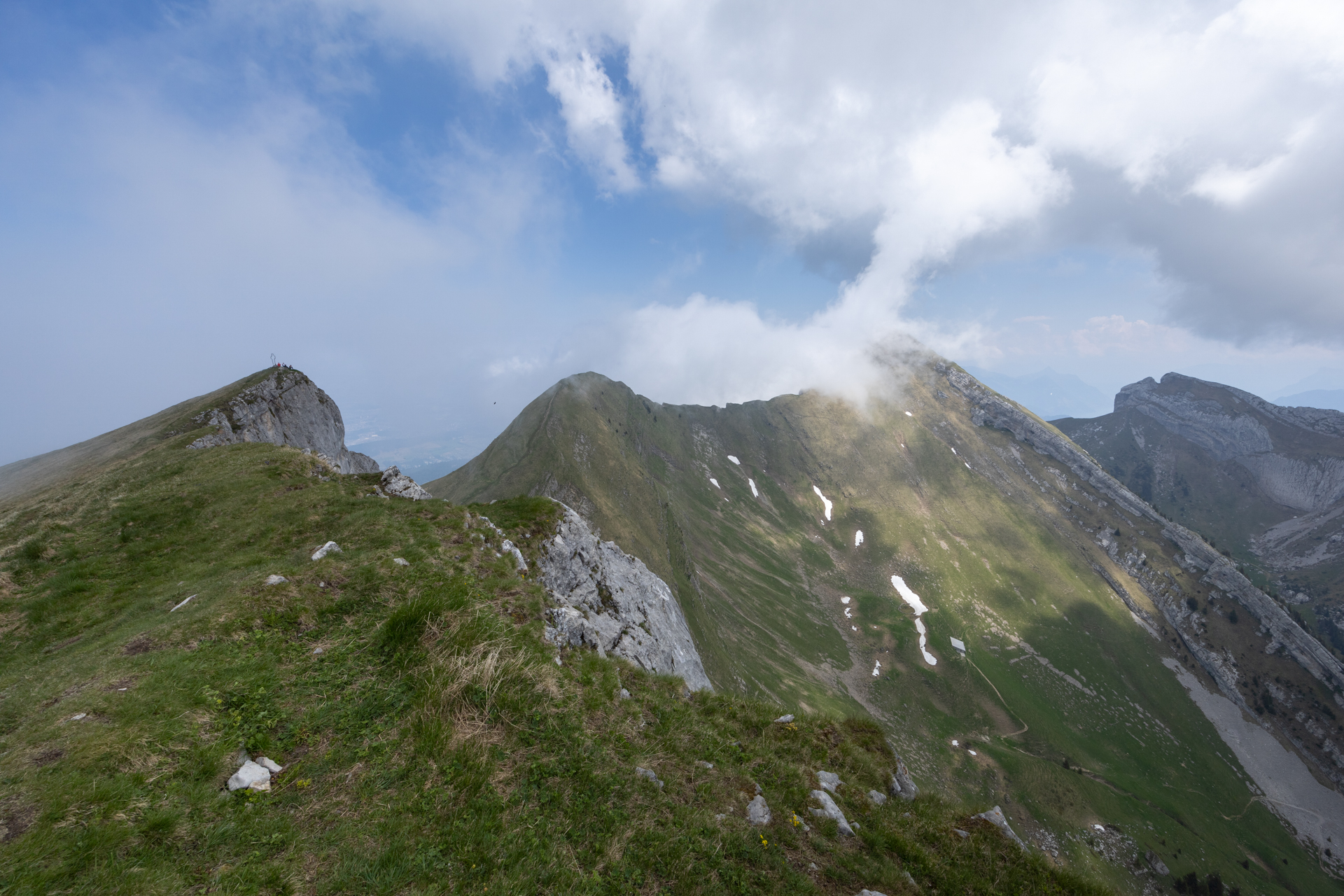
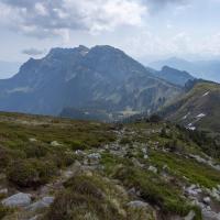
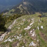
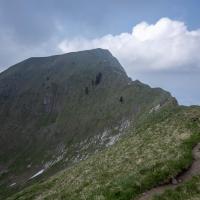
- Descended down to the saddle between the Mittaggüpfi and the Widderfeld before ascending to the Widderfeld.
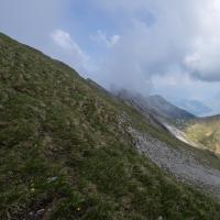
- This section was quite steep but not particularly exposed.
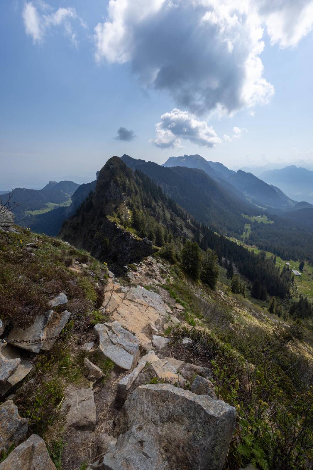
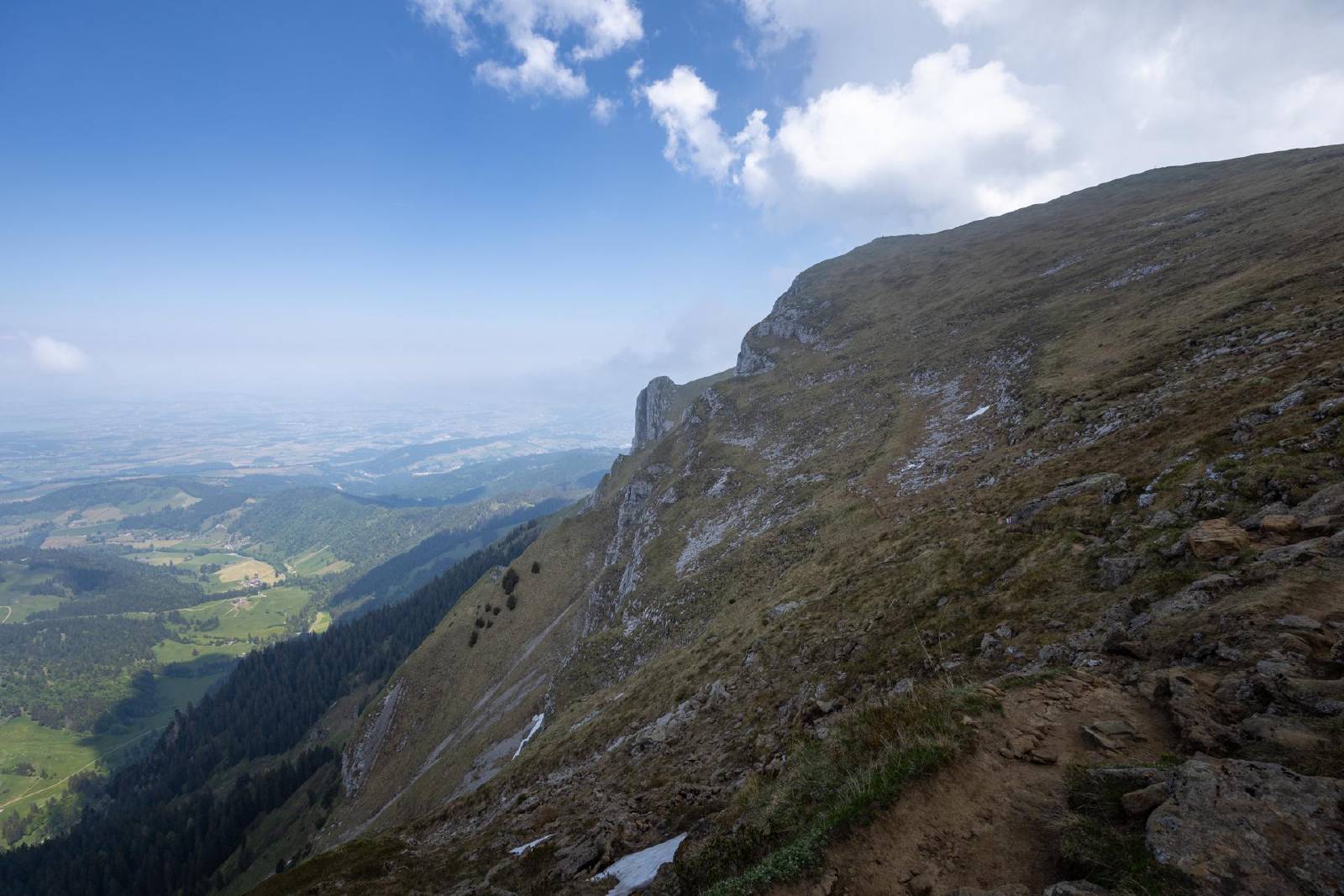
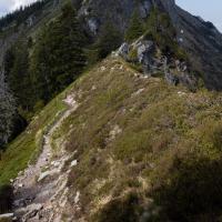
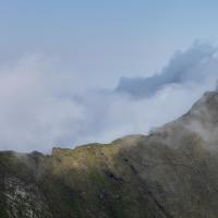
- I found the descent from the Widderfeld heading towards the start of the western ridge to be the most challenging part of the hike.
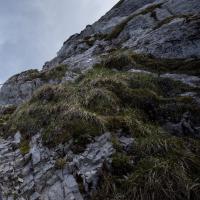
- There was a short but near-vertical scrambling section that was very exposed.
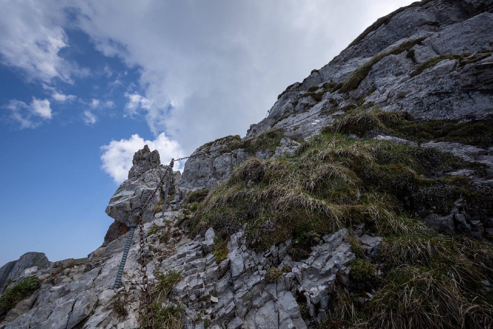
- As with most of the other exposed sections, this was again accompanied by chains.

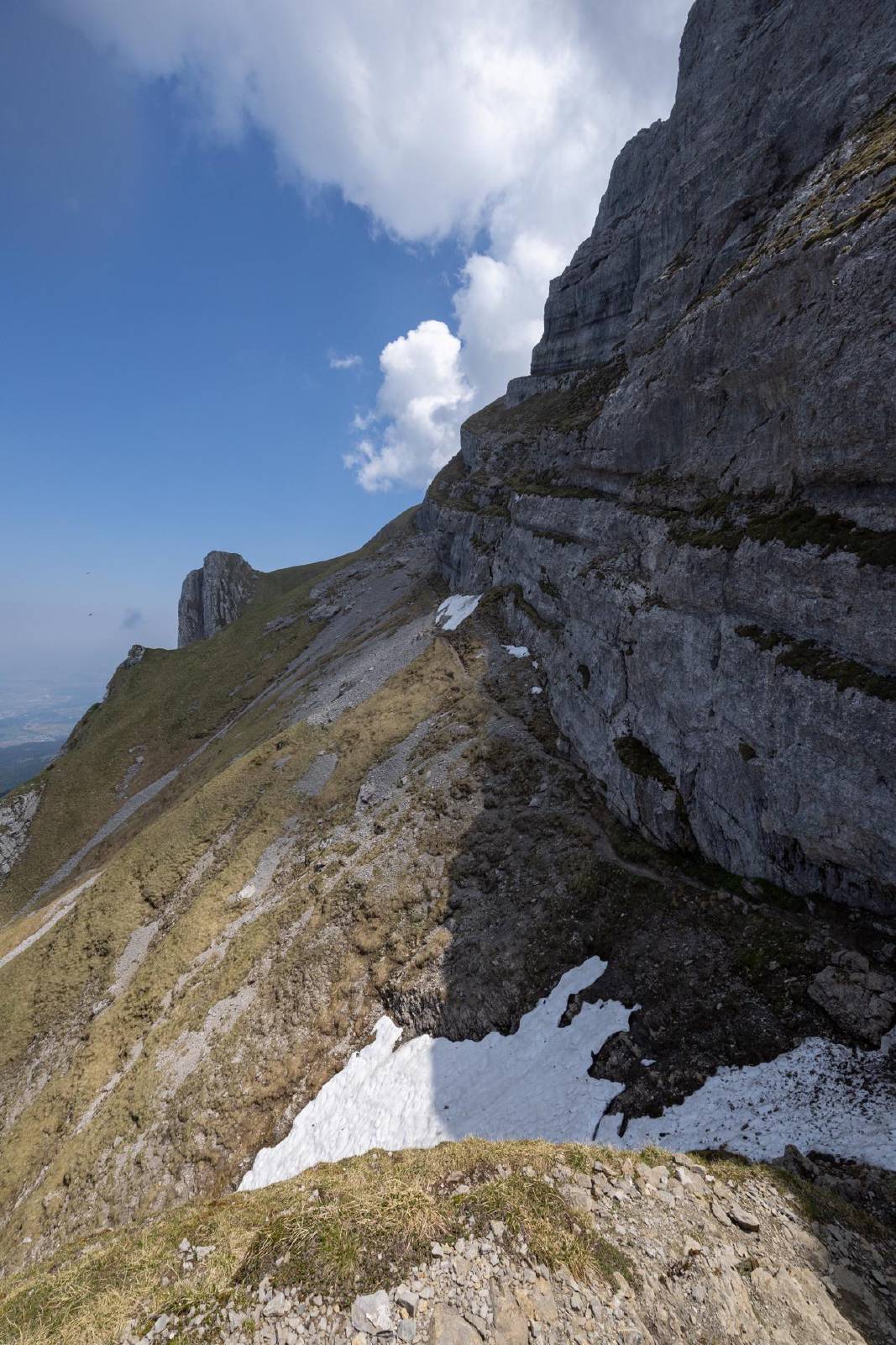
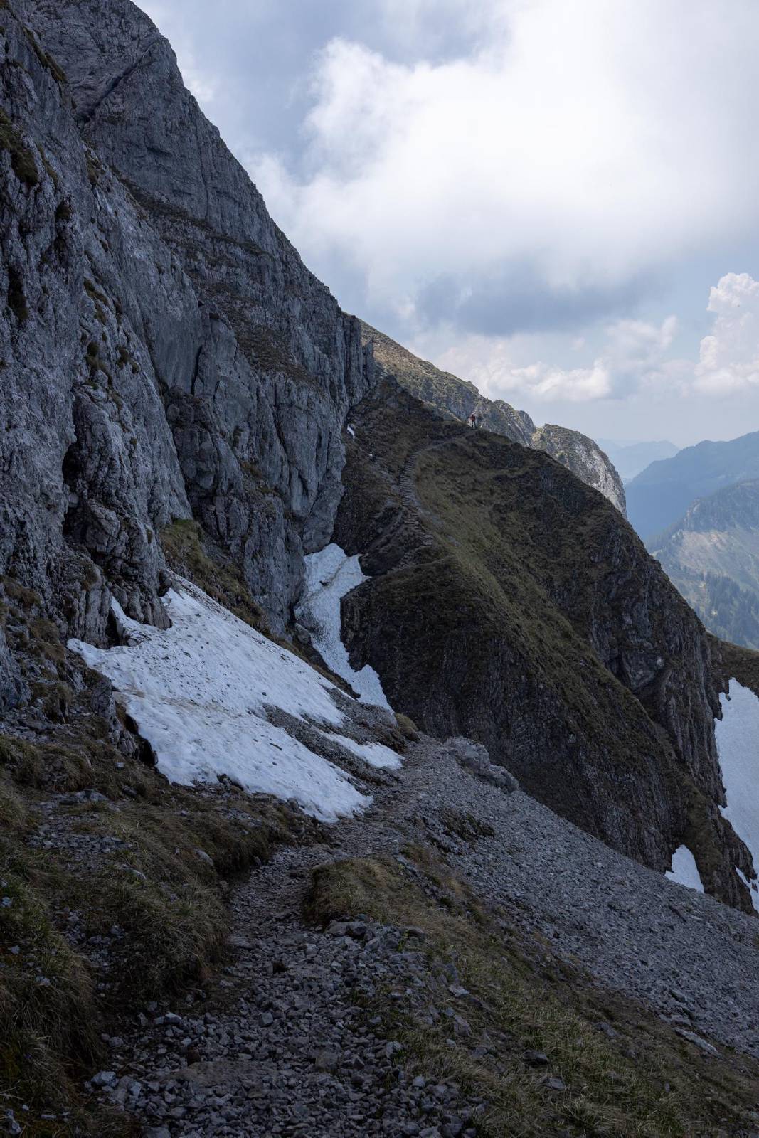
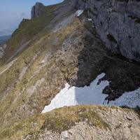
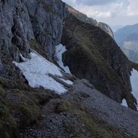
- In the northern couloir beneath the Widderfeld there was a single snowfield that need crossing.
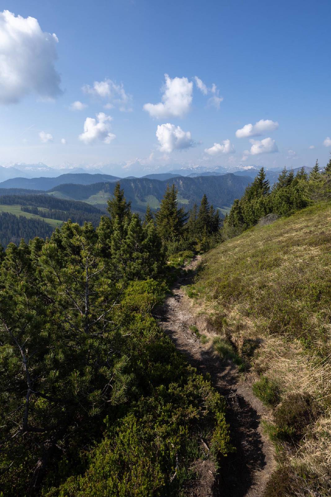
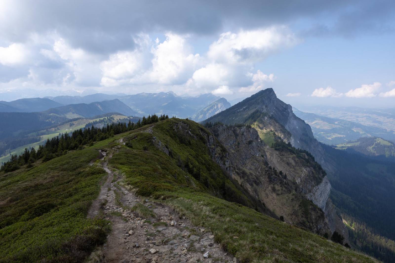
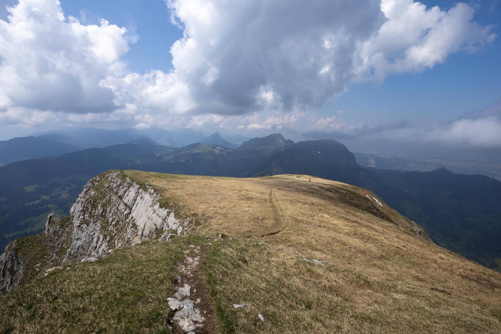
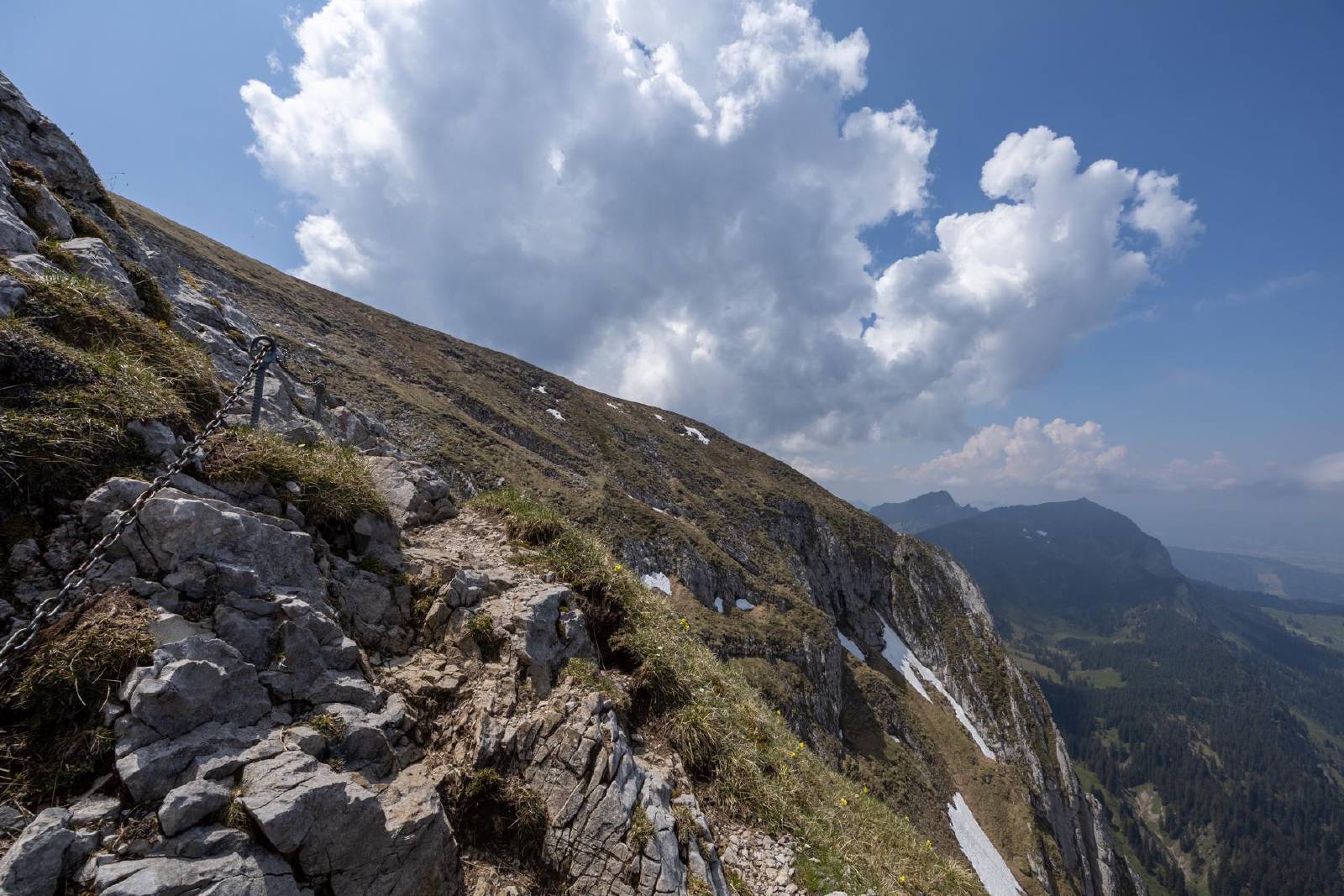
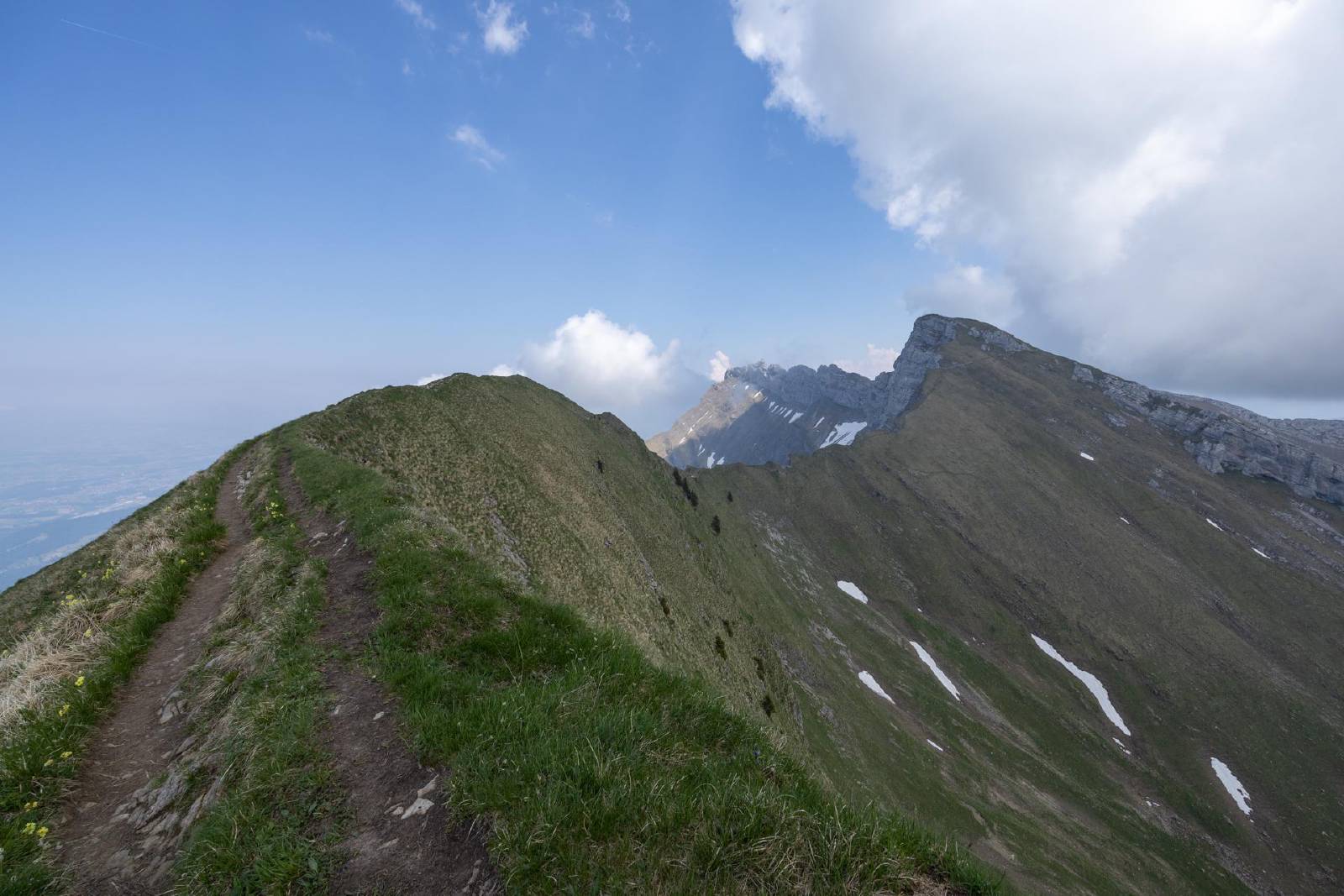
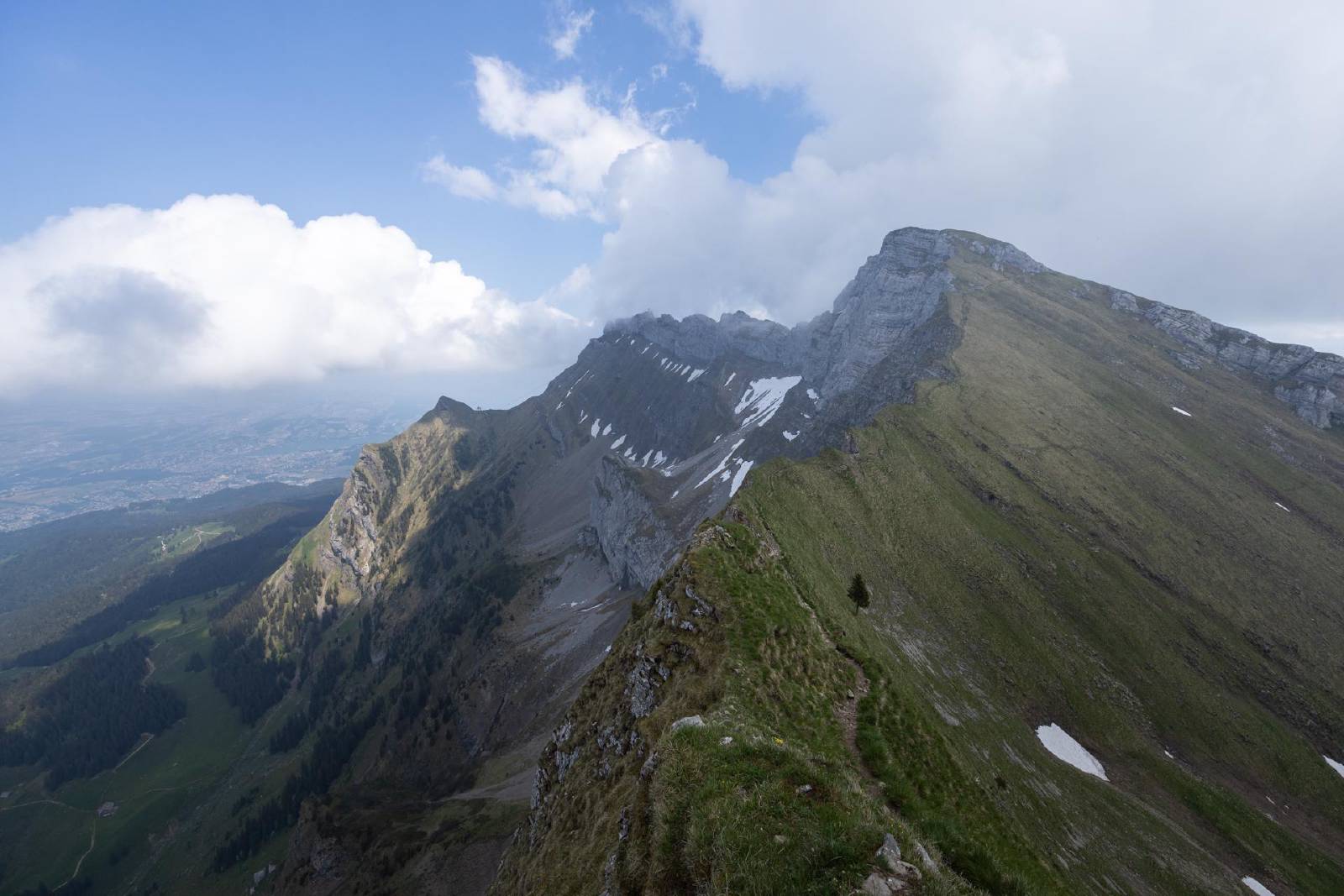
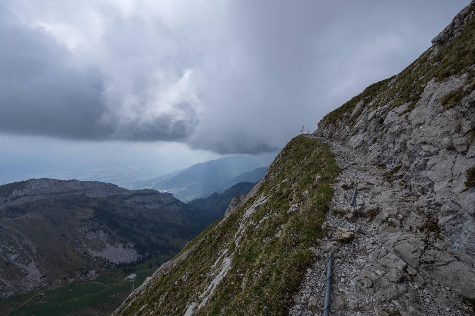
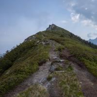
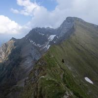
- The path that led up to the start of the ridge was relatively wide, but the subsequent ridge path was very narrow.
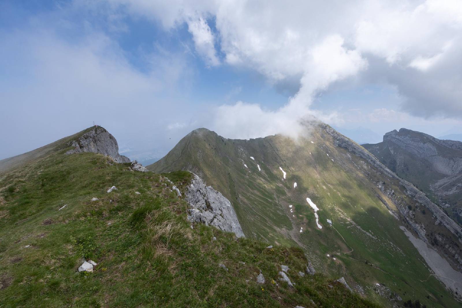
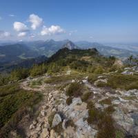
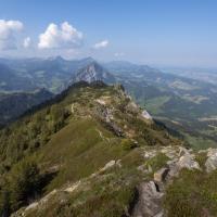
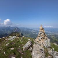
- This western ridge to the Tomlishorn was extremely exposed (>200 meter near-vertical drop on both sides).
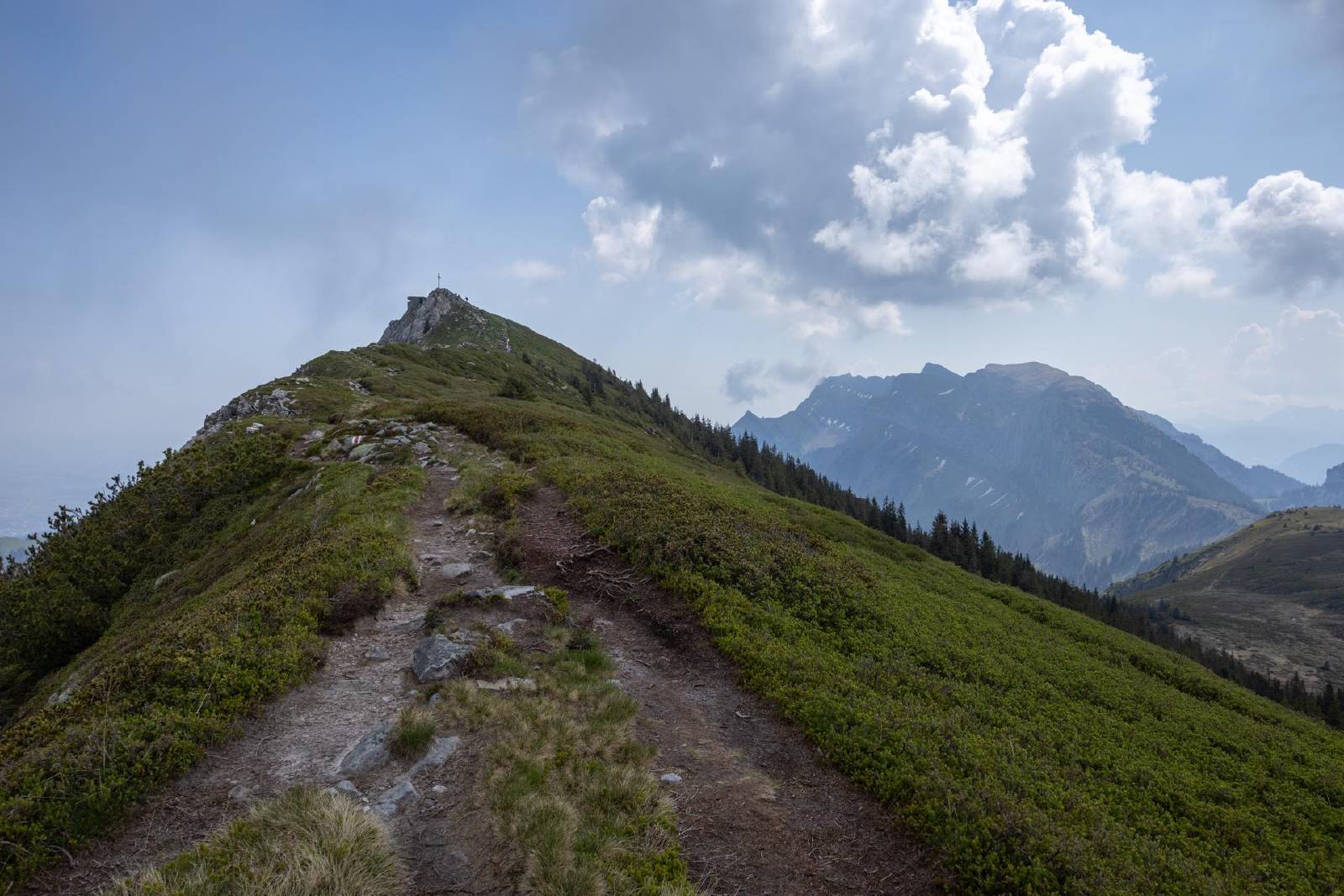
- There were two short scrambling passages over this ridge that were again secured with chains.

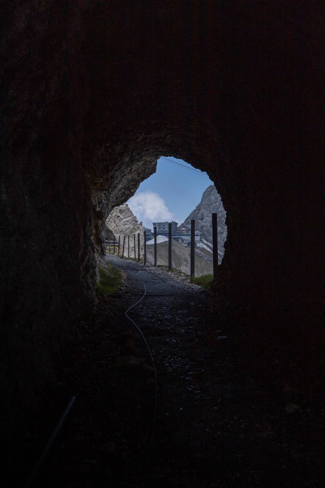
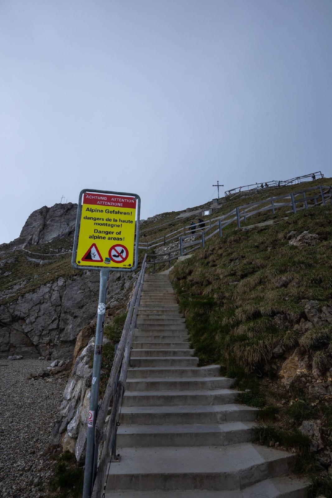
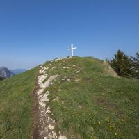
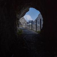
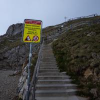
- The final stretch from the Tomlishorn to the Pilatus consisted of a paved path.
Map
Gallery

×
❮
❯