Quick Summary
- A 2 day hike in central Graubünden near the Julierpass.
- Tour was accessible via public transit, but we opted to go with the
car instead.
- Parked at the Julierpass.
- Returned via the same route on the second day.
- Some parts of this route were not part of the officially marked hiking trails:
- Corn Alv
- Fuorcla da Flix and Tschima da Flix
- An alternative which may be preferable if doing this all with the public
transit is to descend from the Jenatschhütte down to
Spinas instead of returning back to the Julierpass.
- There is a train station in Spinas which may be more convenient than having to take the PostAuto from the Julierpass.
- A somewhat easier alternative to this route is to leave out the Corn Alv as well as the Tschima da Flix.
Day 1: Jenatschhütte SAC via the Fuorcla d’Agnel
| Sport | Hiking | |
| Difficulty | T3+ | |
| Distance | 11.3 km | |
| Ascent | 1040 m | |
| Descent | 590 m | |
| Public Transit Access? | No |
Summary
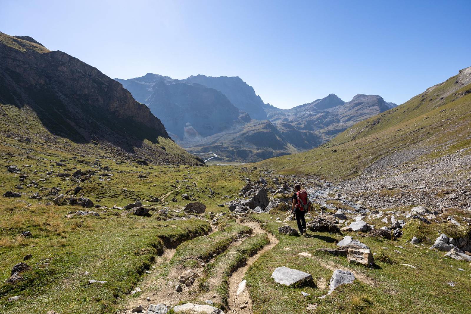
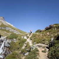
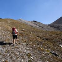
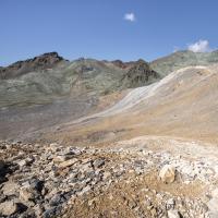
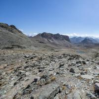
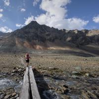
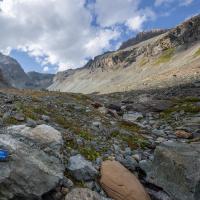
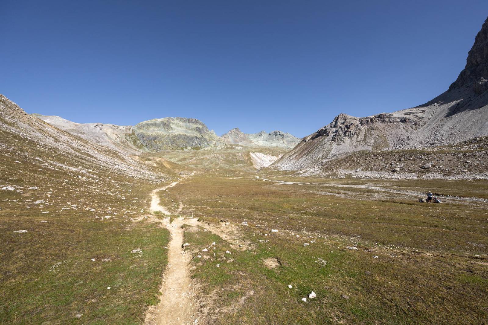
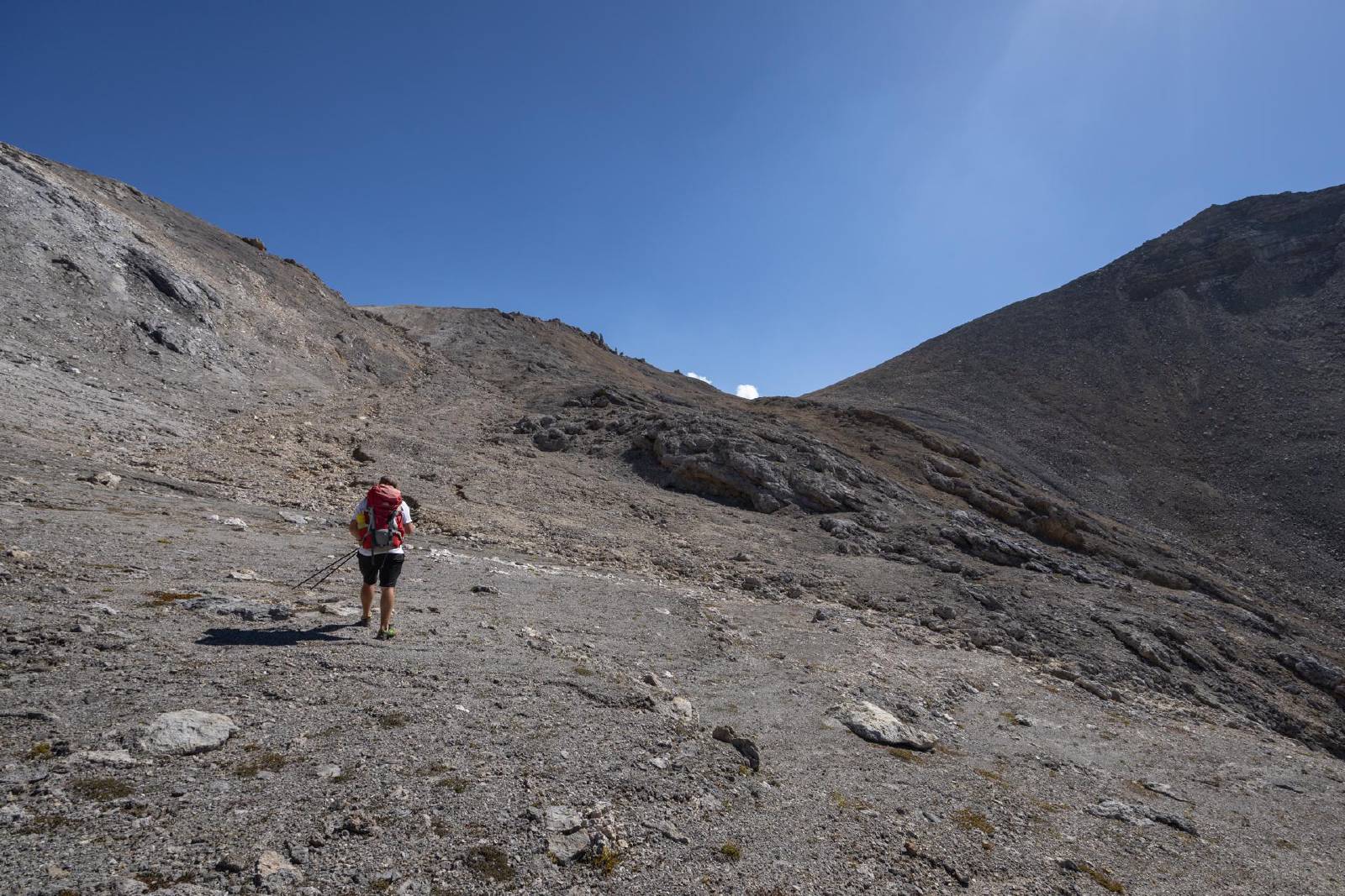
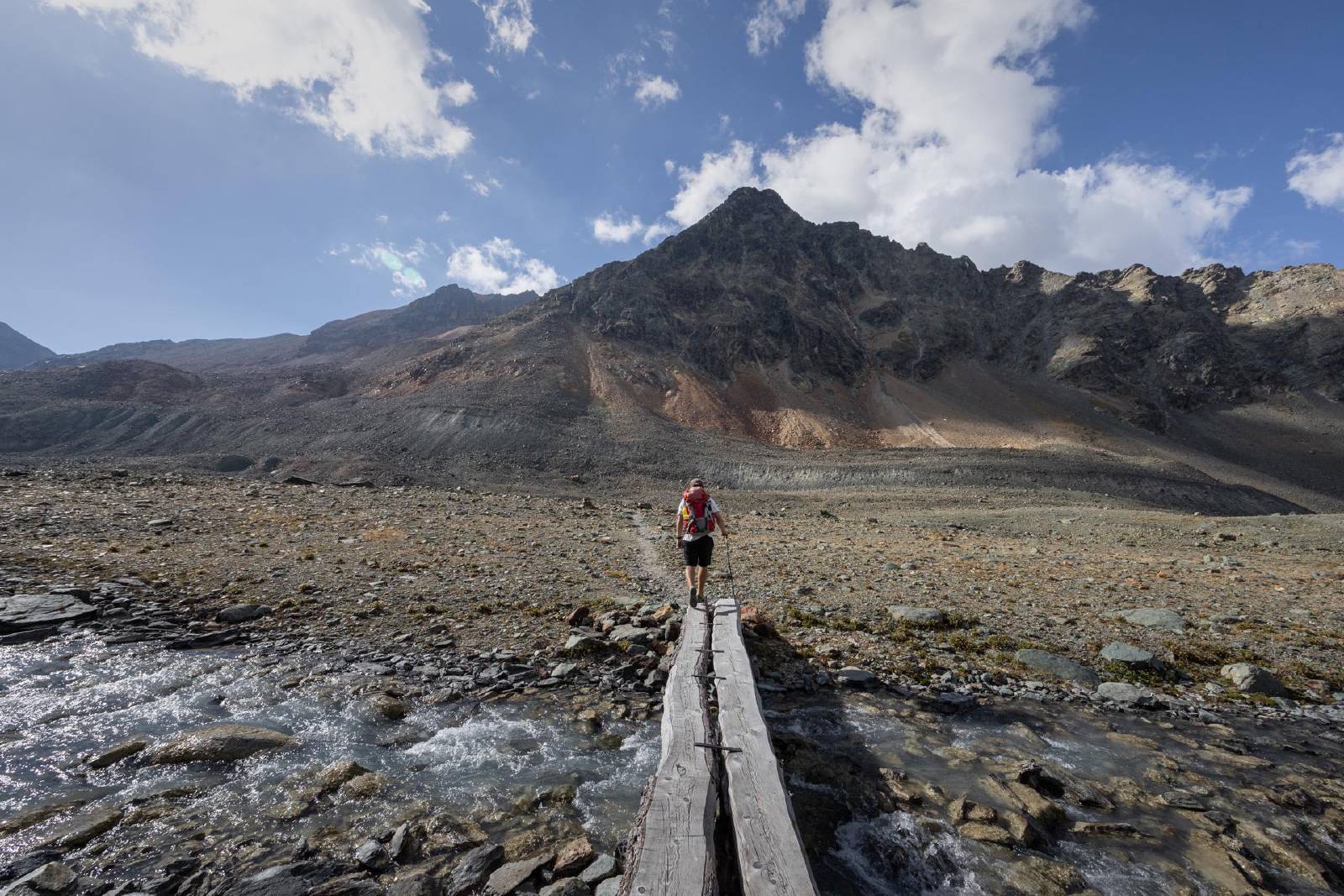
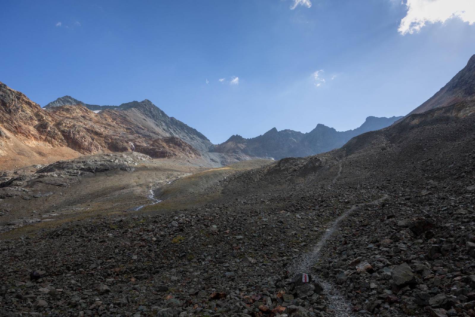
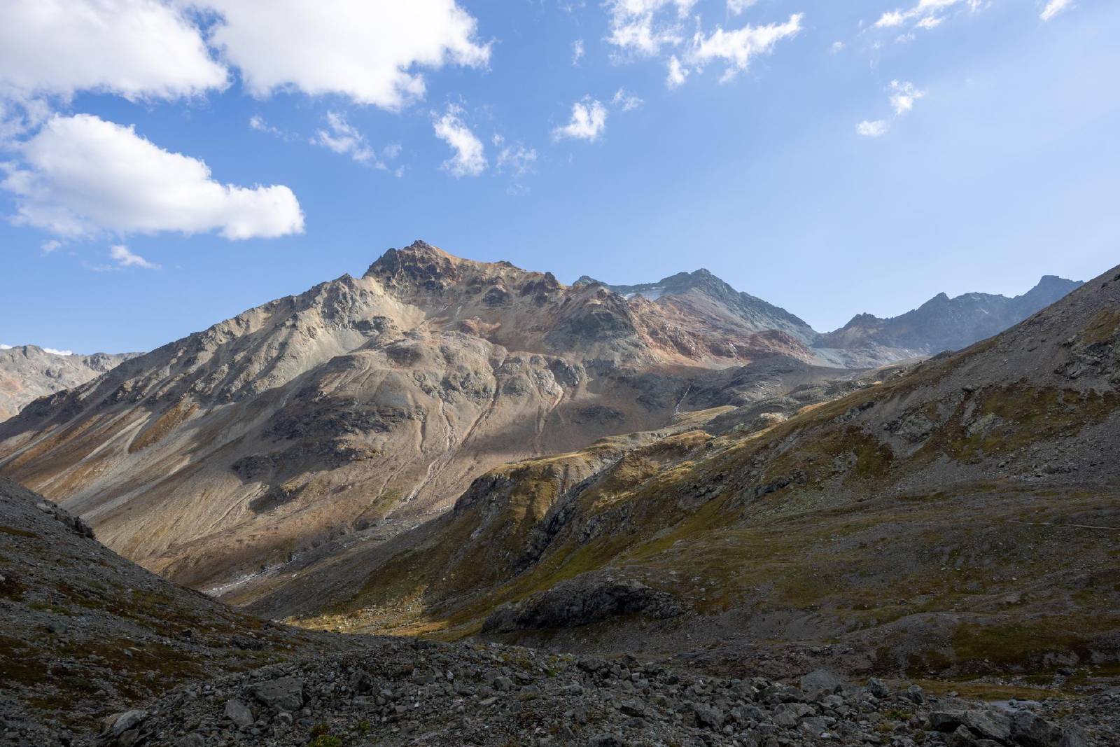
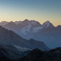
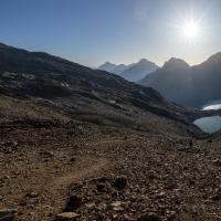
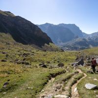
- We followed the official hiking trail from the Julierpass towards the Fuorcla d’Agnel.
- After reaching the long, flat plateau along the Val d’Agnel, we
decided to go east towards the Corn Alv.
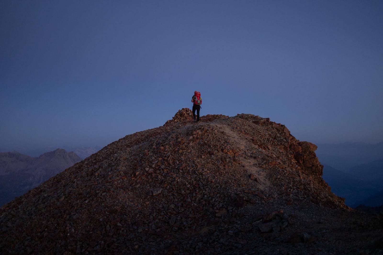
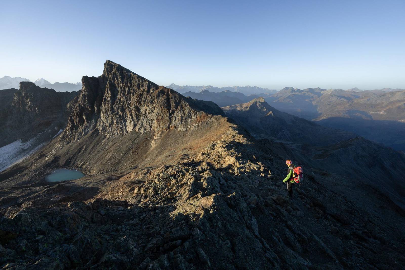
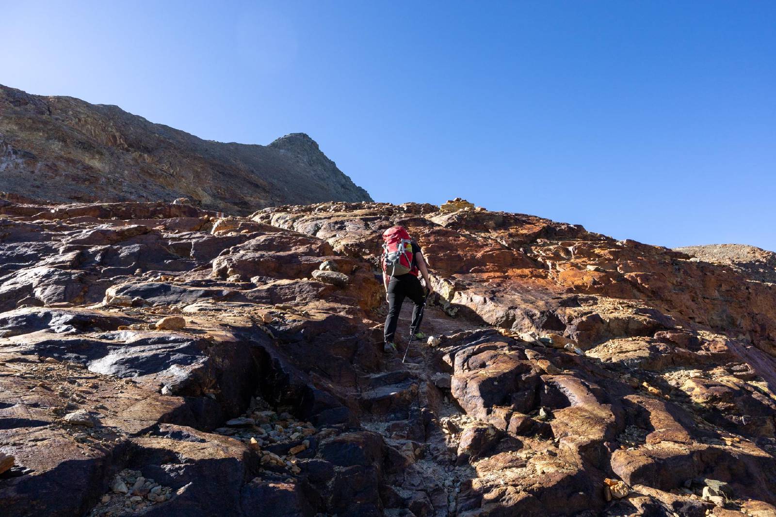
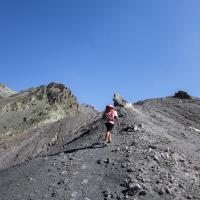
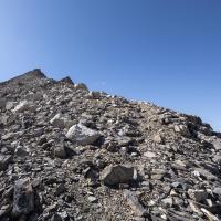
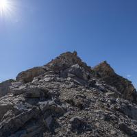
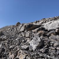
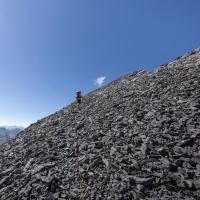
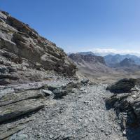
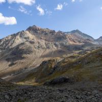
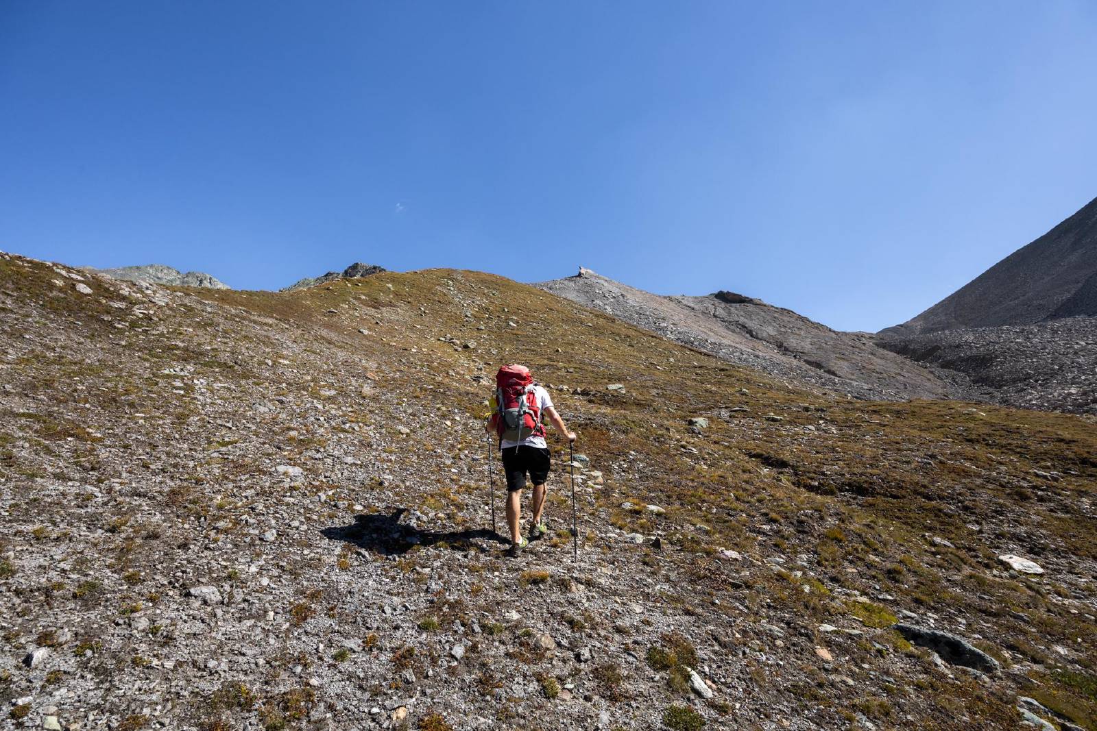
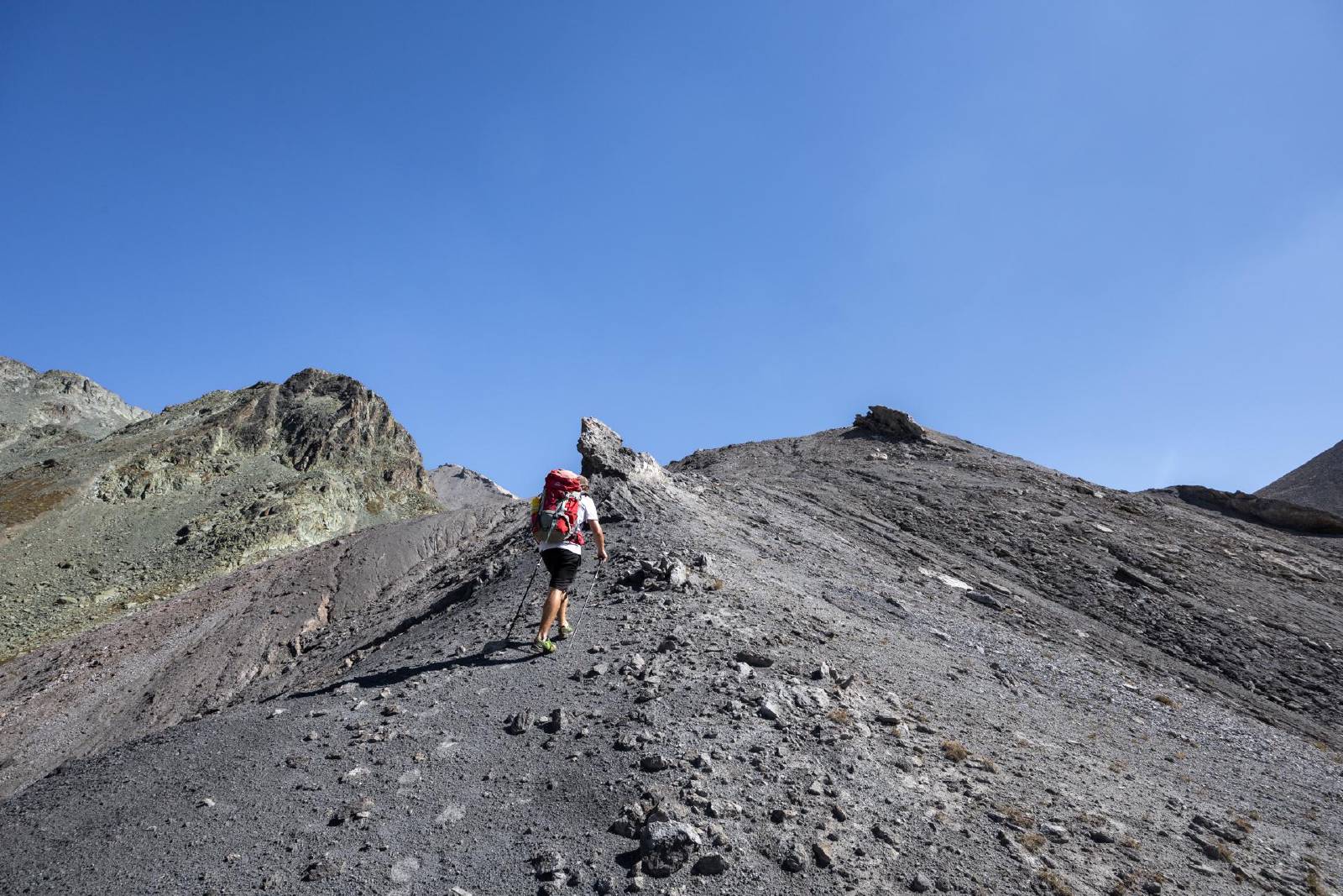
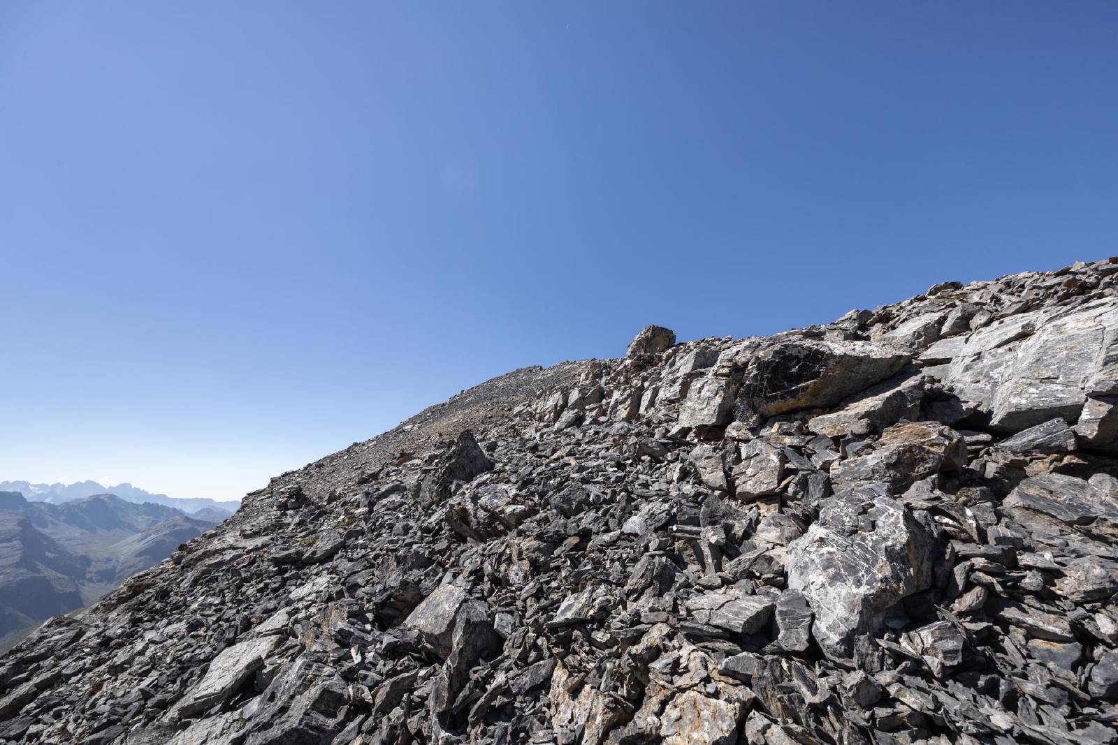
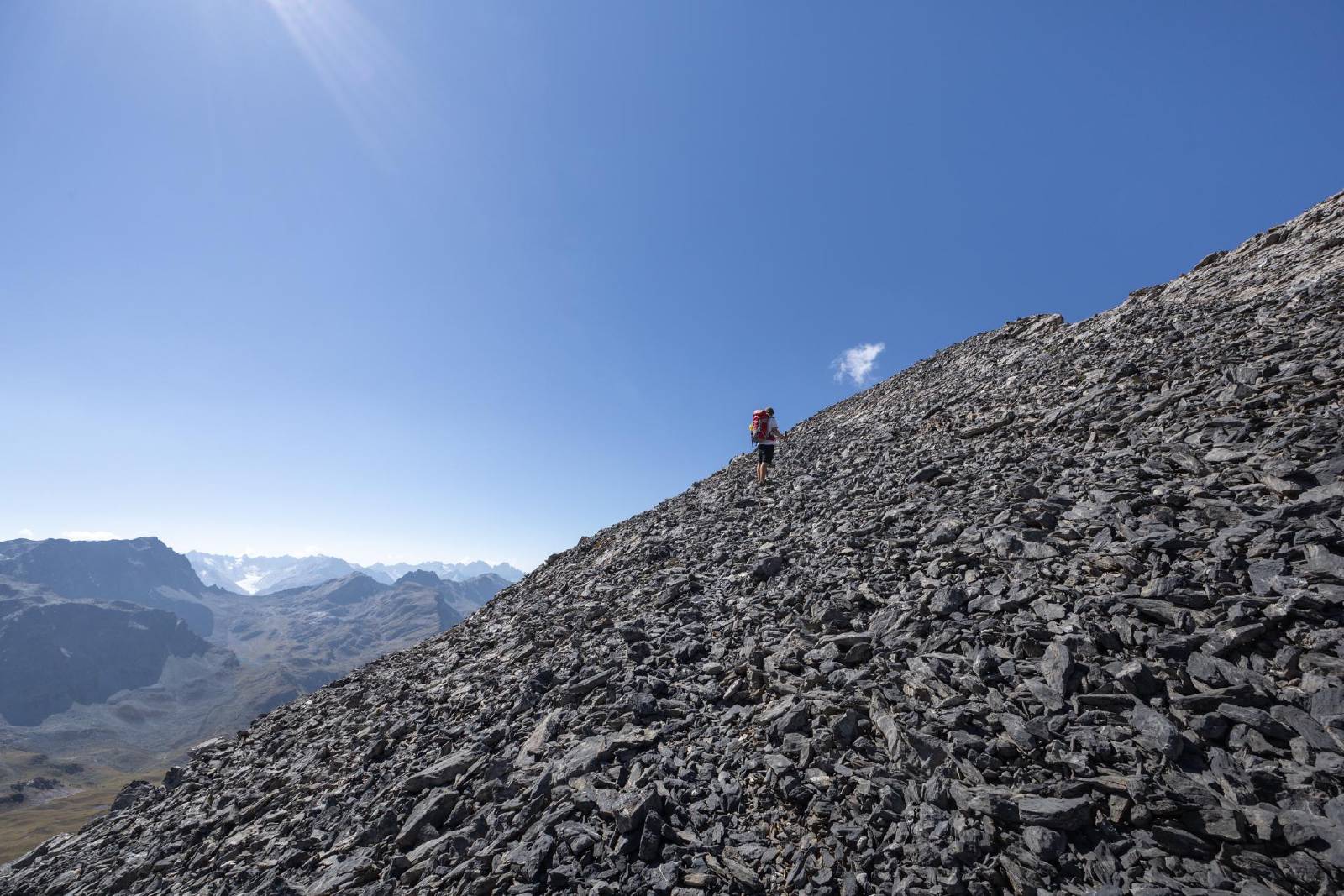
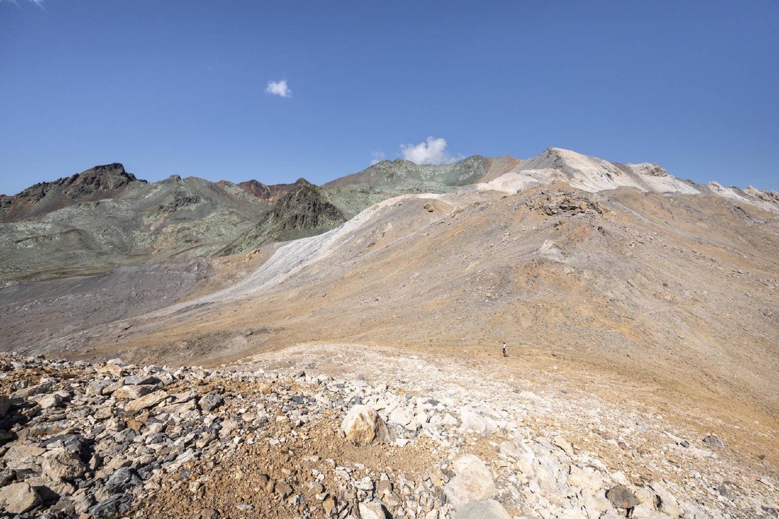
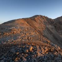
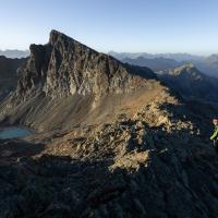
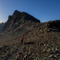
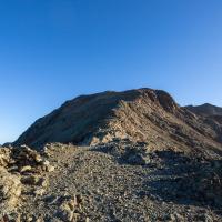
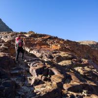
- Ascended to the saddle leading to the north-ridge of the Corn Alv.
- The ascent to the Corn Alv was moderately exposed on quite loose
rock.
- Trekking poles were very useful for this section.
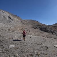
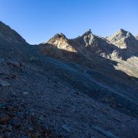
- After a lunch break at the summit, we returned back down to the saddle via the north-ridge and then made our way back west towards the Fuorcla d’Agnel.
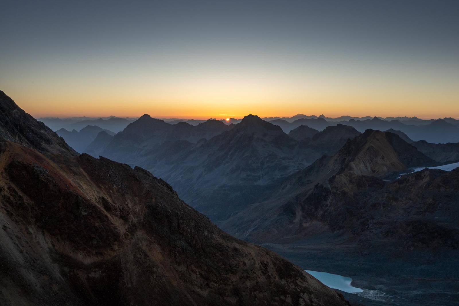
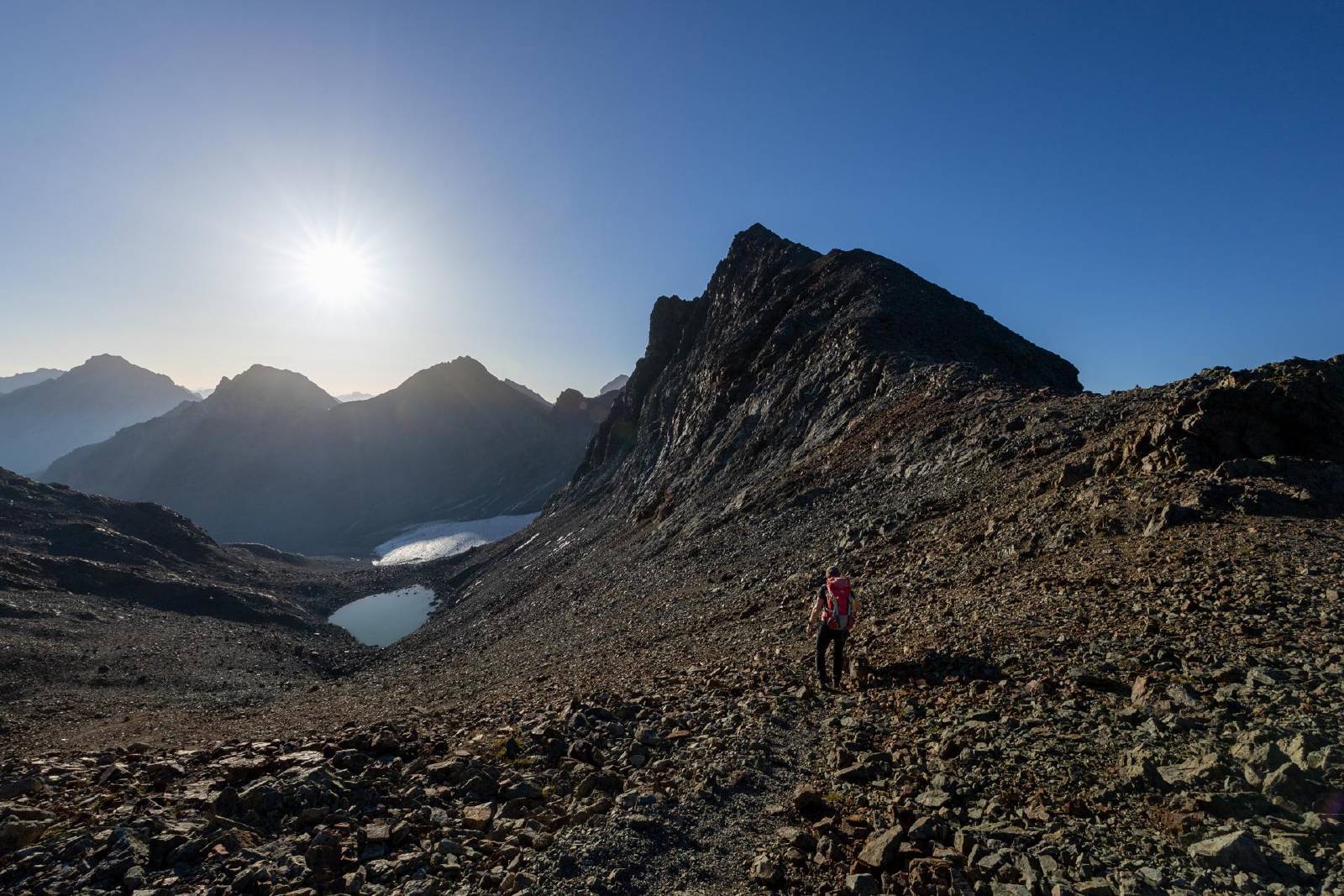
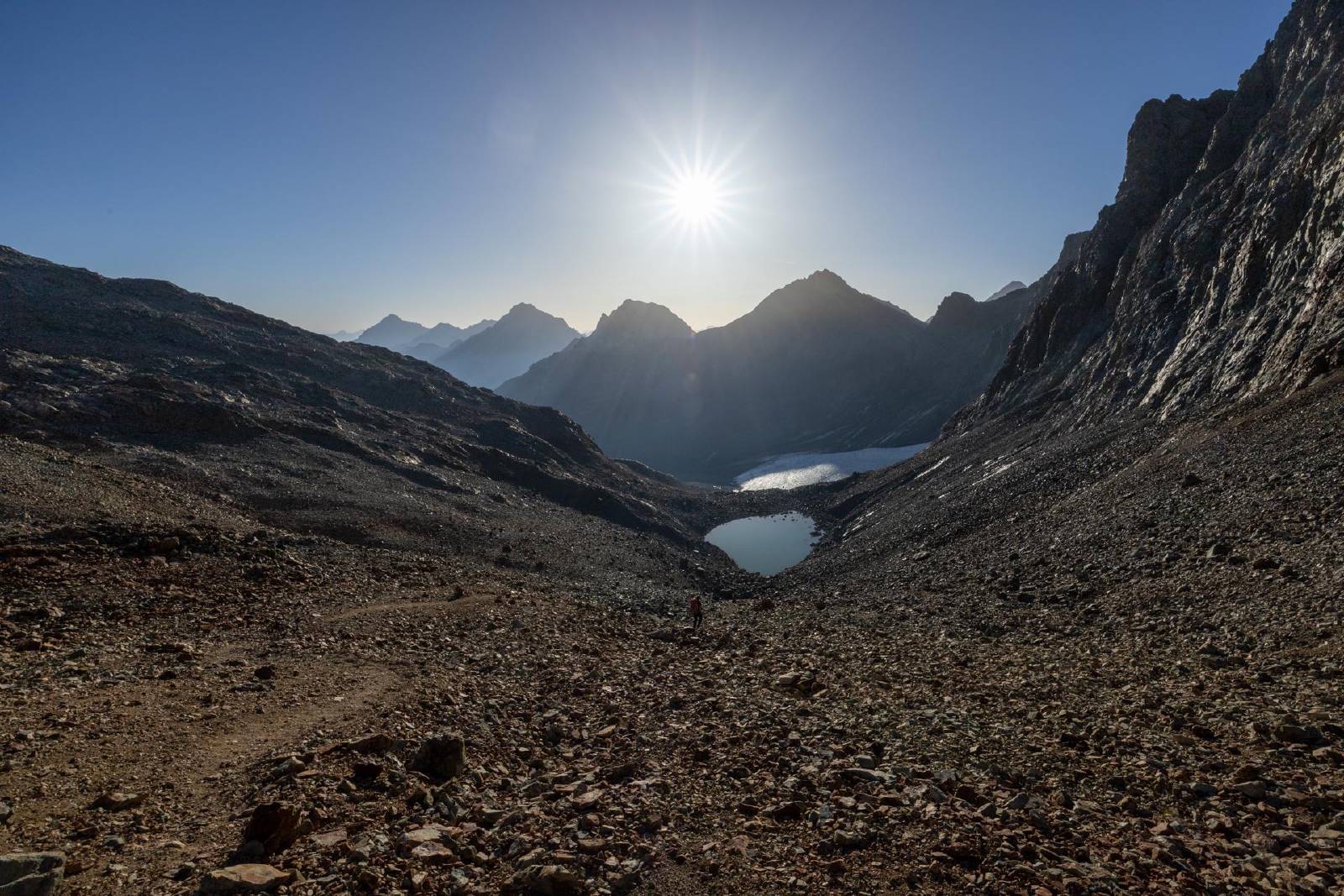
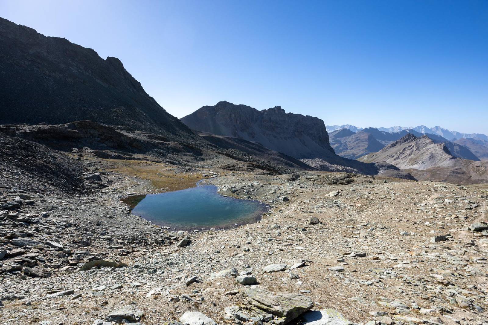
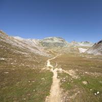
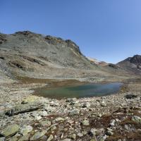
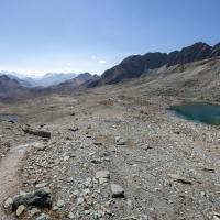
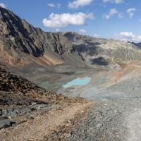
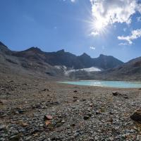
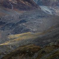
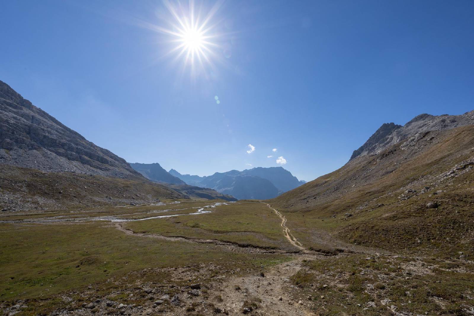
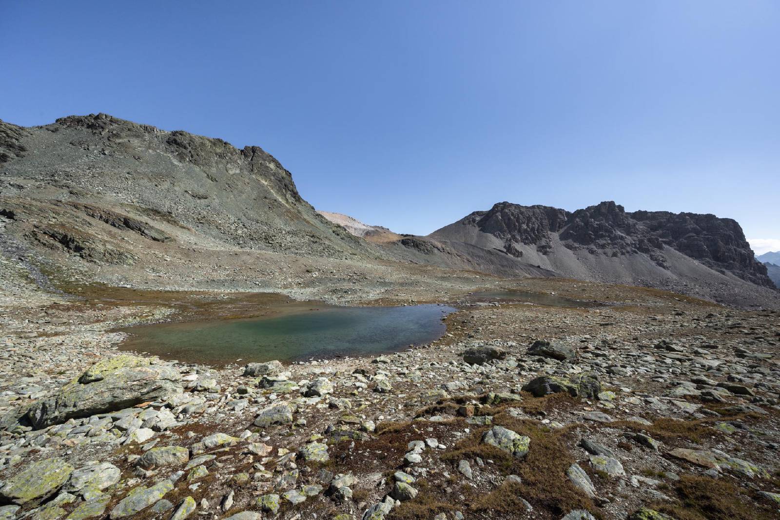
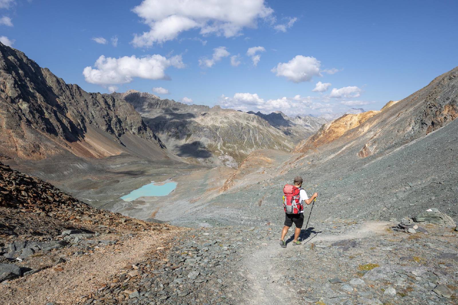
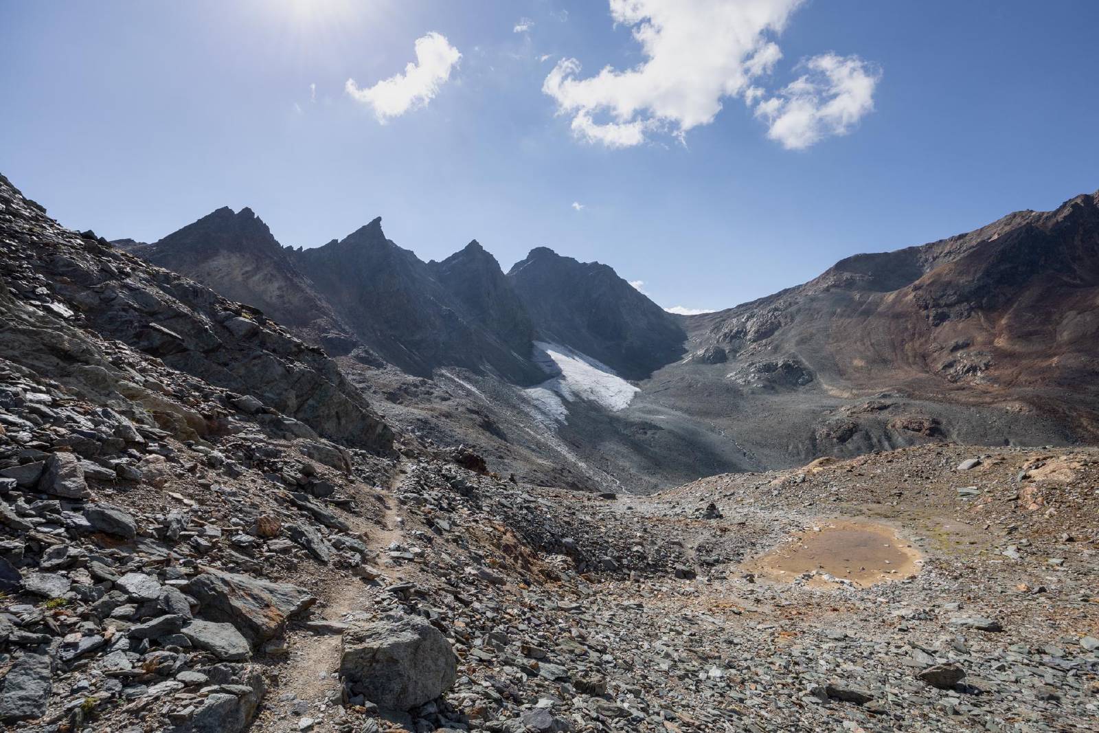
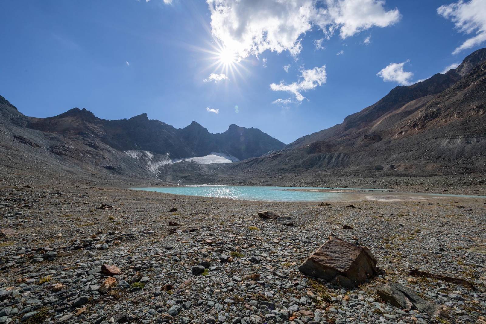
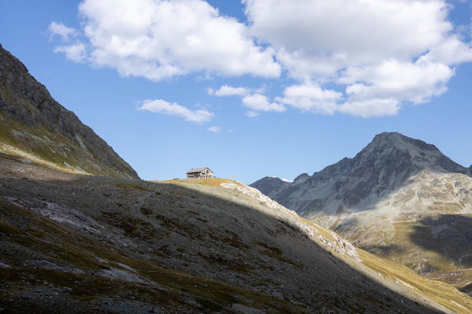
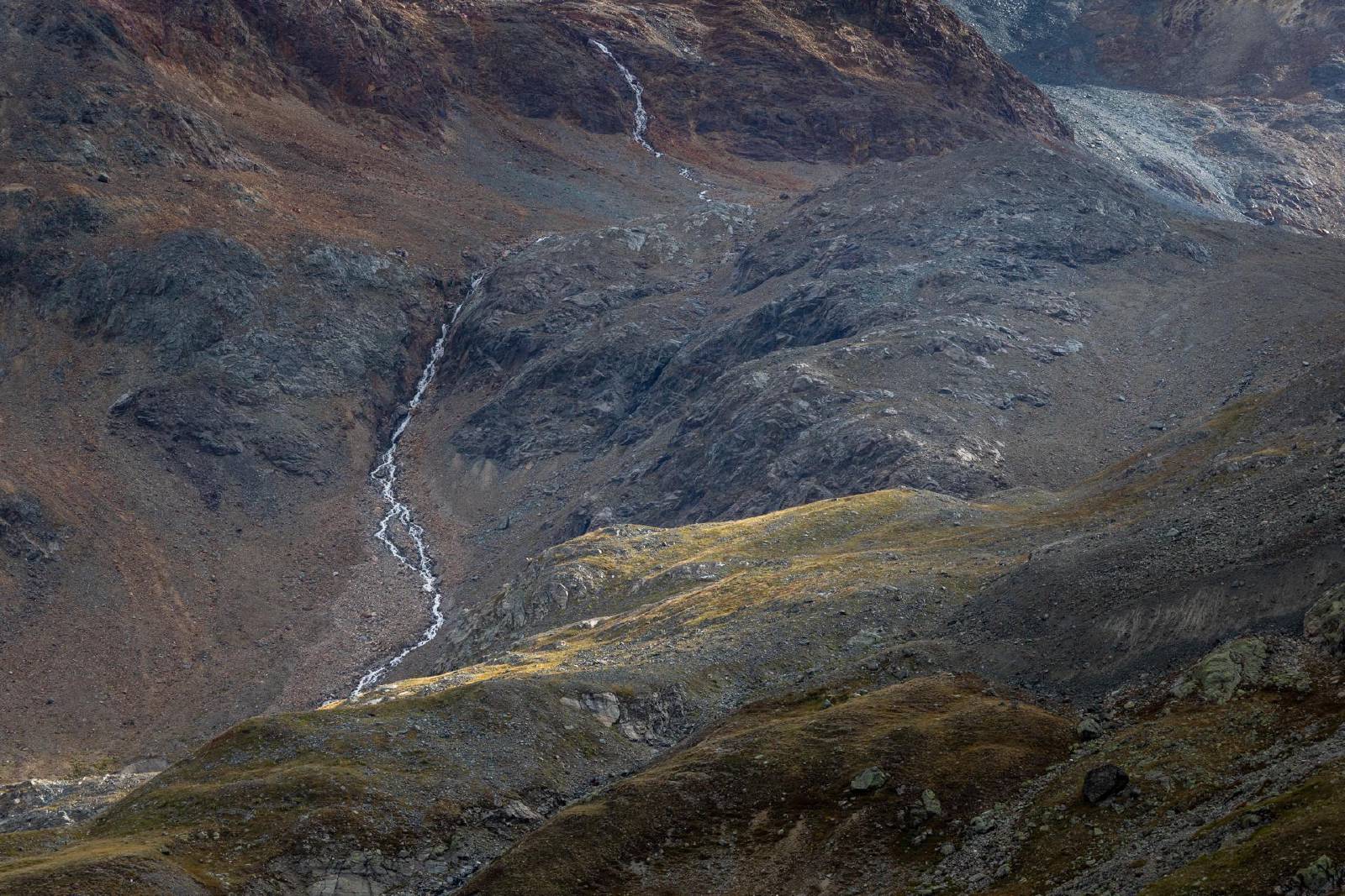
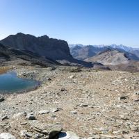
- From the Fuorcla d’Agnel we made our way down to the nameless glacial
lake at the toe of the Vadret d’Agnel and continued north towards the
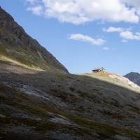
Jenatschhütte.
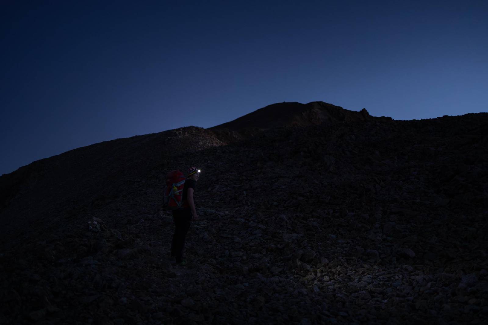
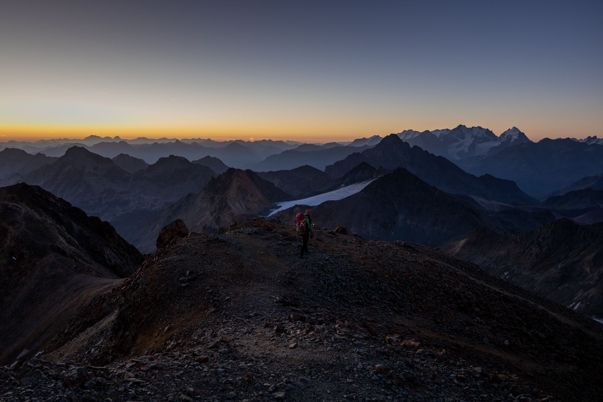
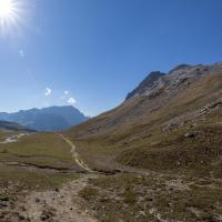
- The route on the next day would continue up the western side of the valley, so we made sure to get an impression of what the ascent would look like since we’d be doing this in the dark.
Gallery
×
❮
❯
Day 2: Tschima da Flix and Return to the Julierpass
| Sport | Hiking | |
| Difficulty | T3+ | |
| Distance | 14.4 km | |
| Ascent | 870 m | |
| Descent | 1320 m | |
| Public Transit Access? | No |
Summary
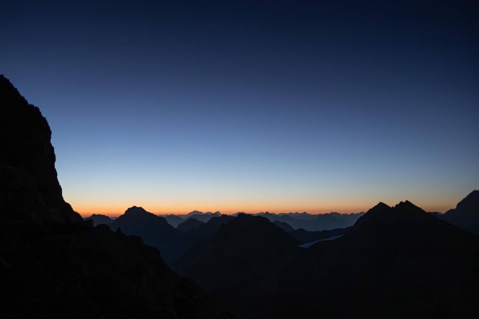
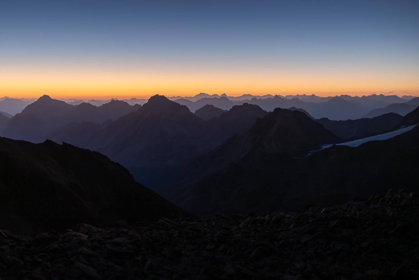
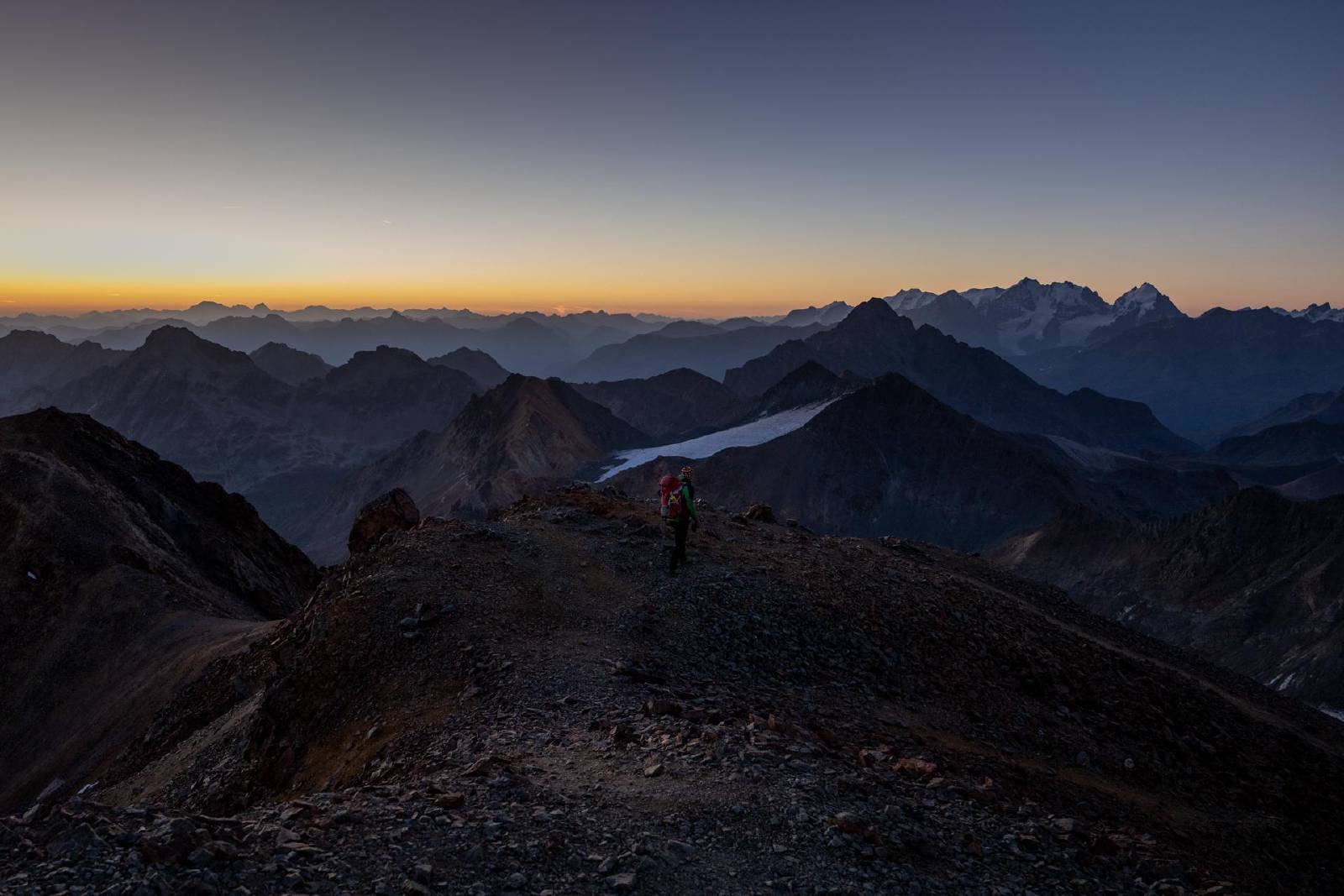
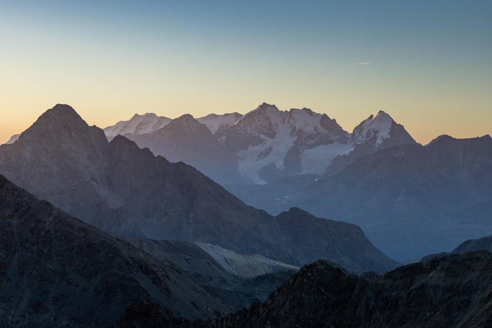
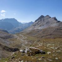
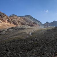
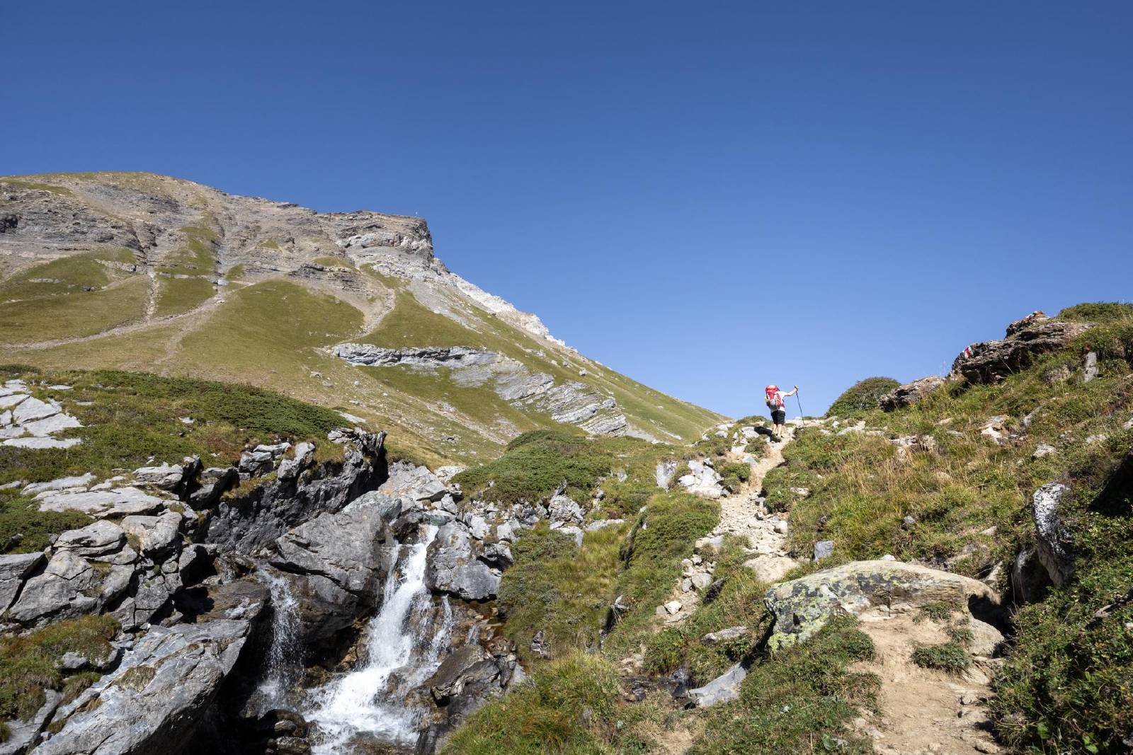
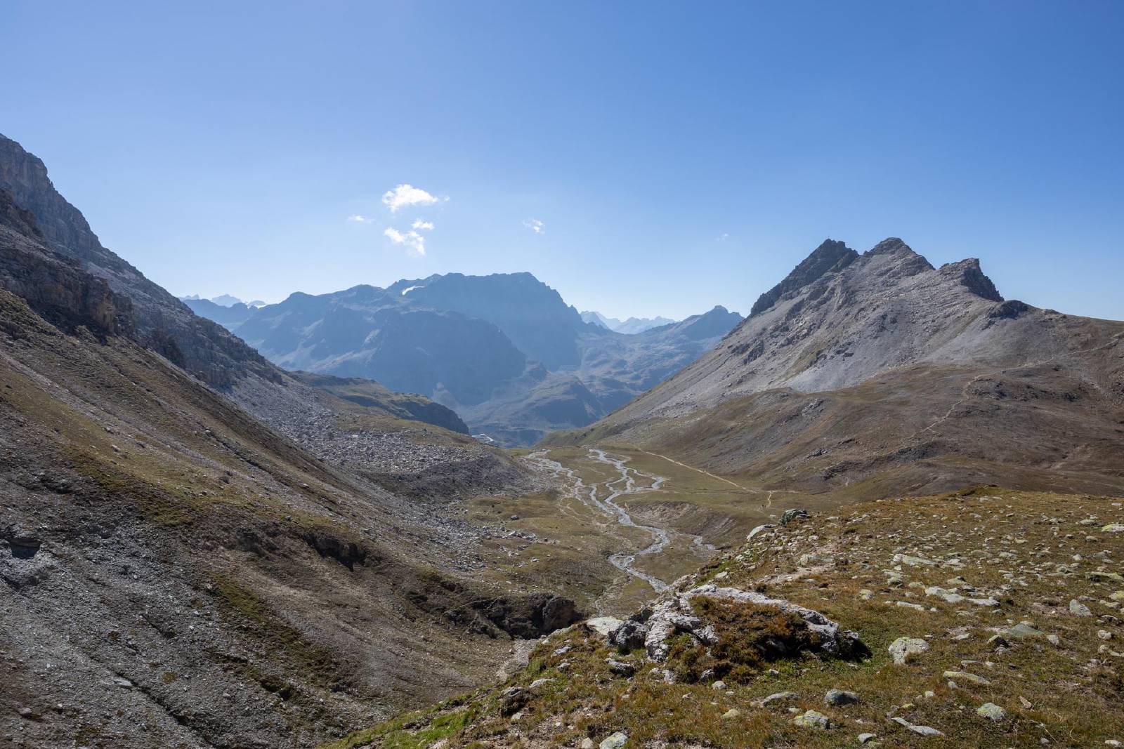
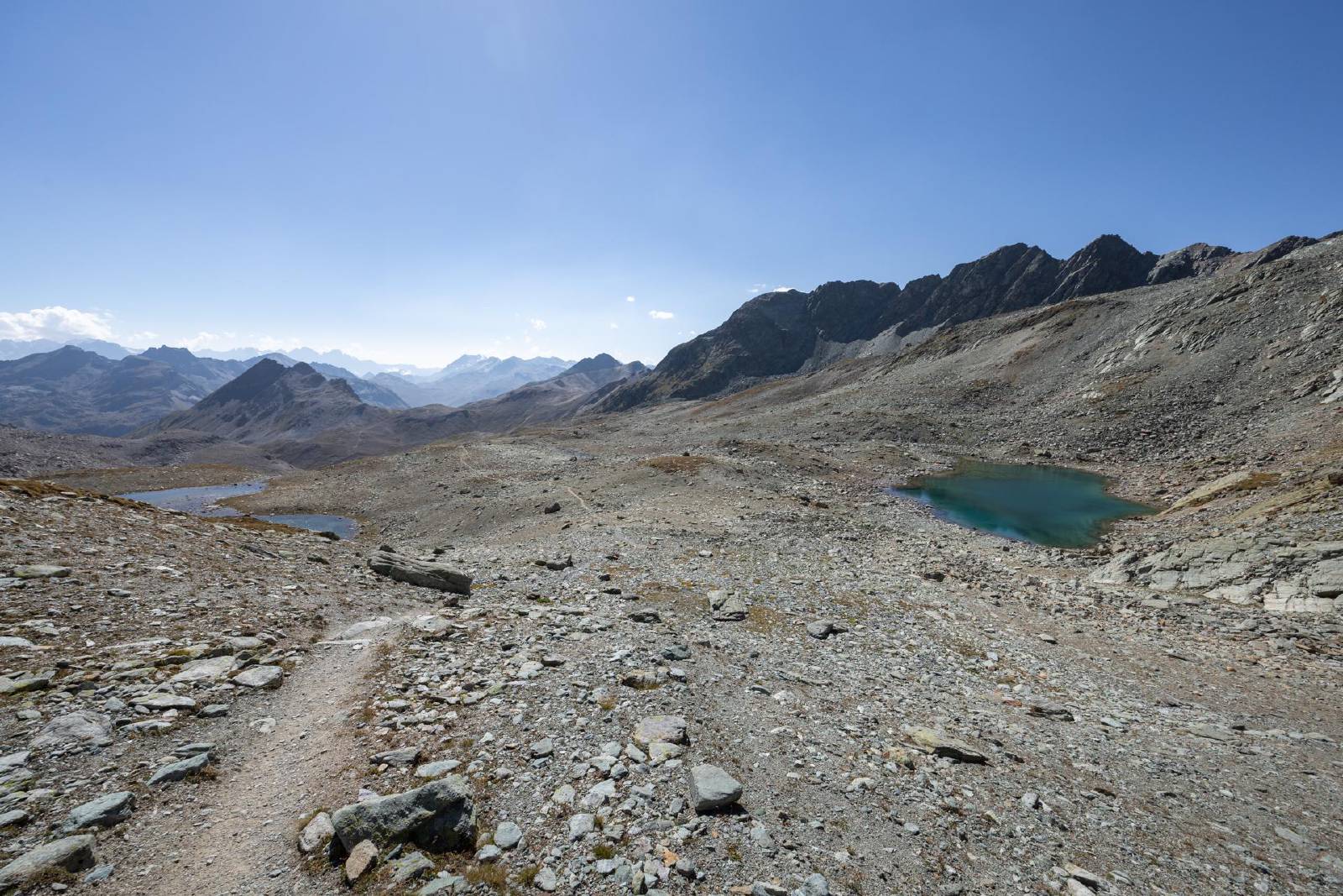
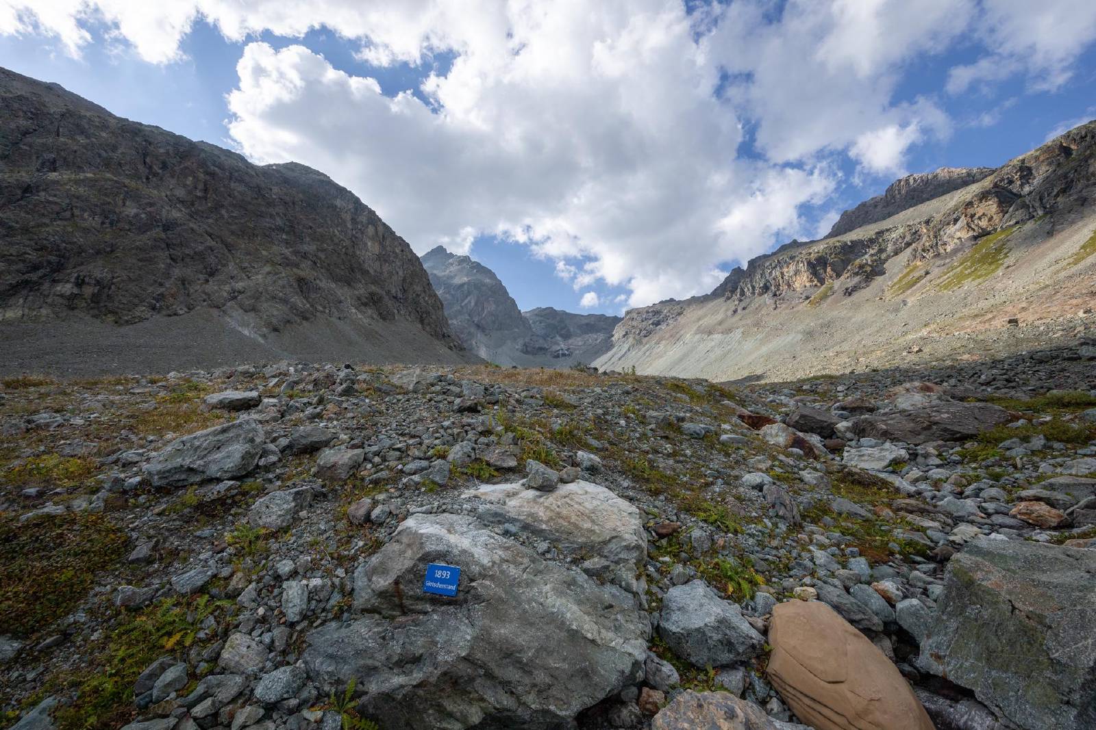
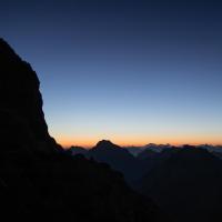
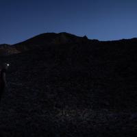
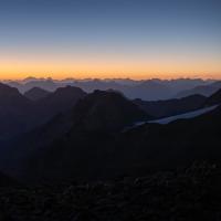
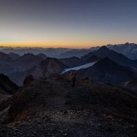
- After a 04:00 AM start, we made our way south towards the nameless lake we passed the day before.
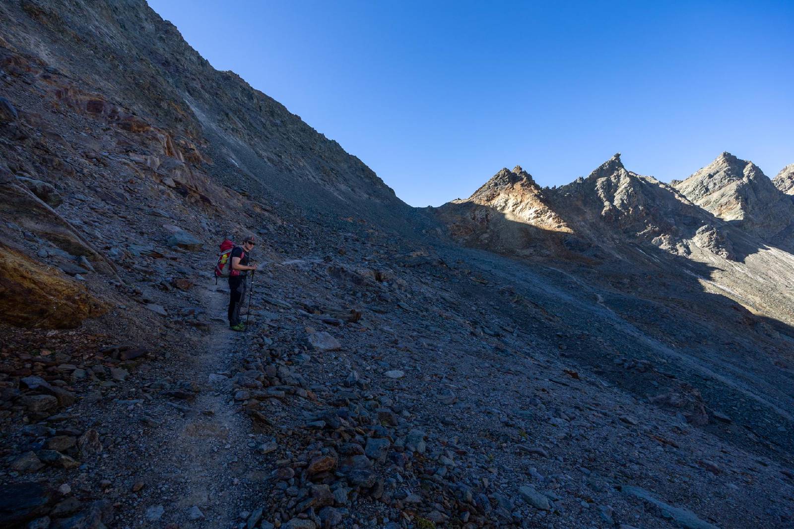
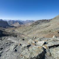
- From the lake, we continued west toward the Fuorcla da Flix.
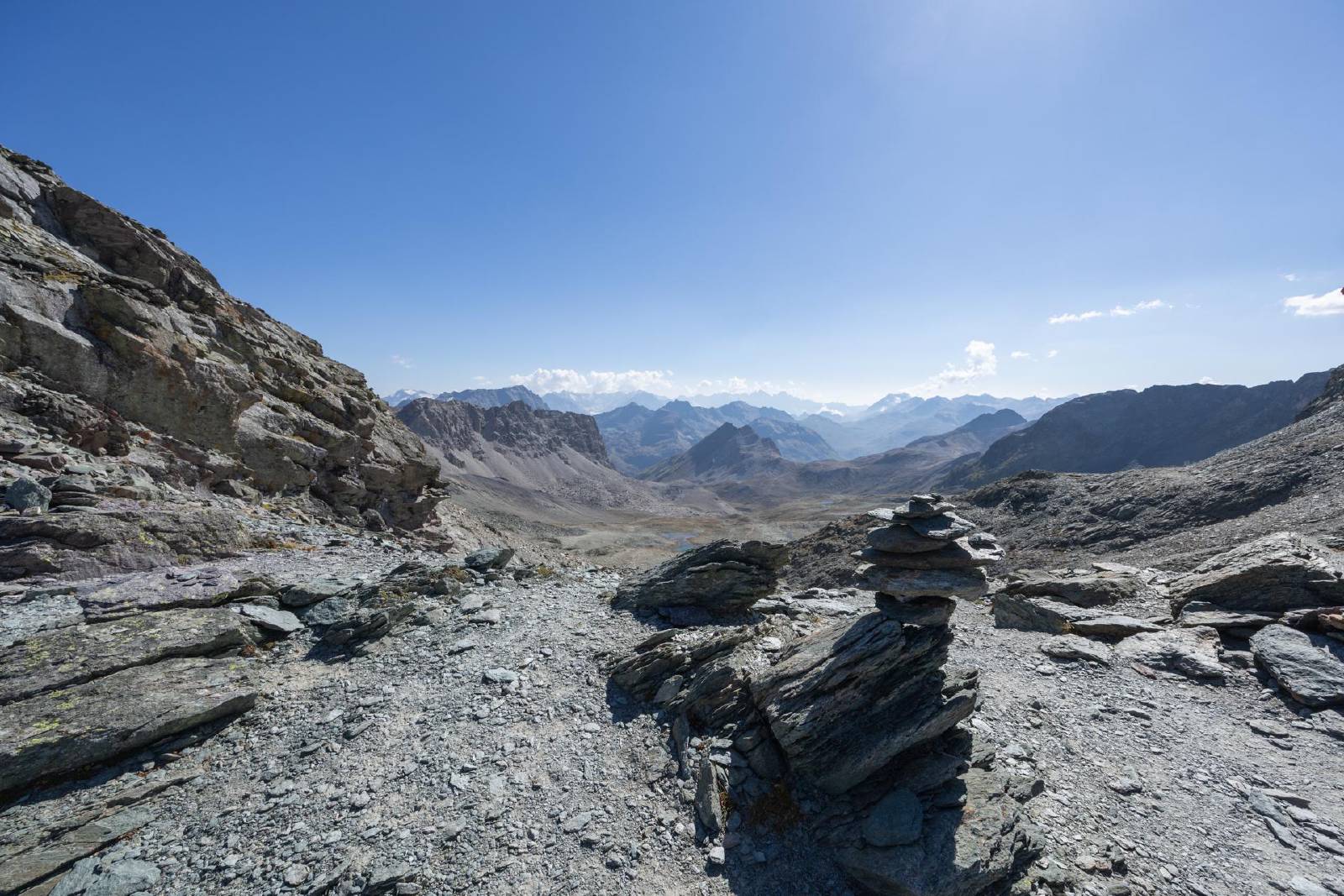
- While not officially marked, we were able to find our way using the stone piles ("Steimännli") as waypoints.
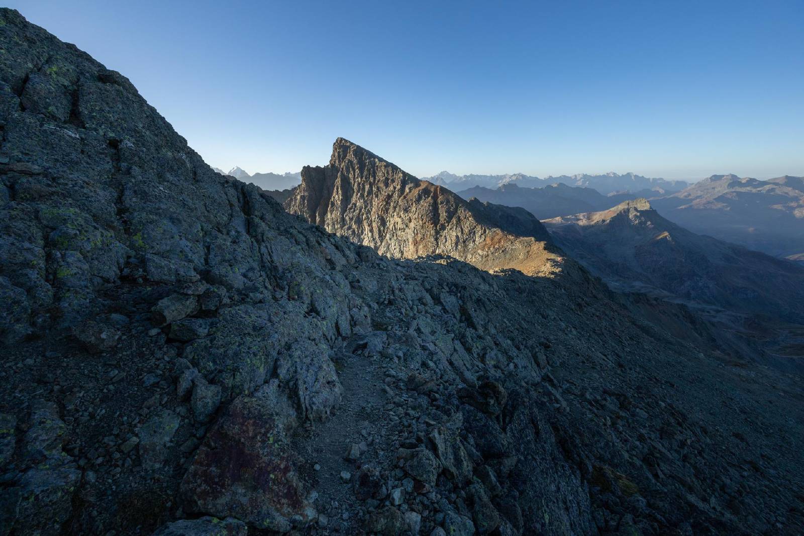
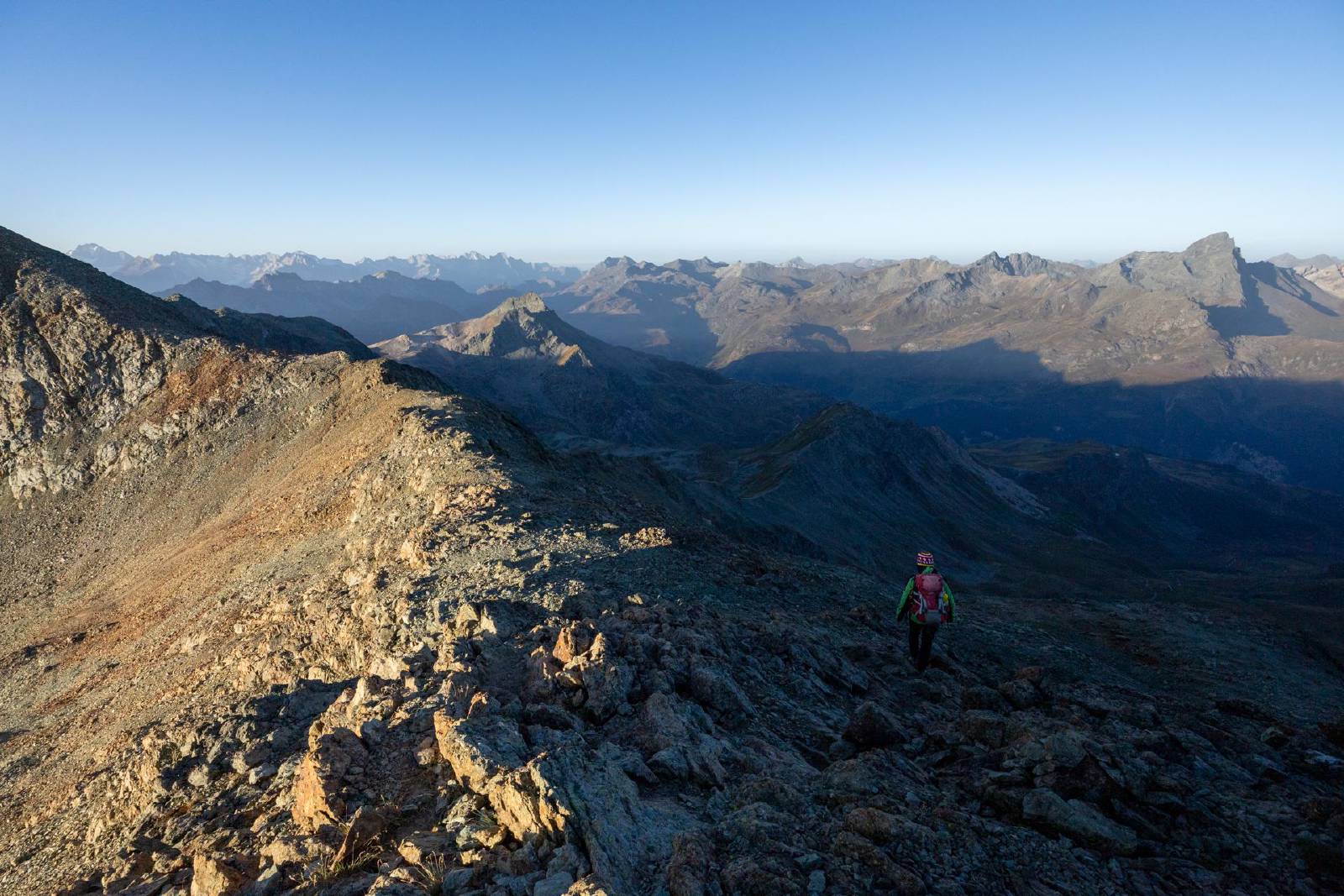
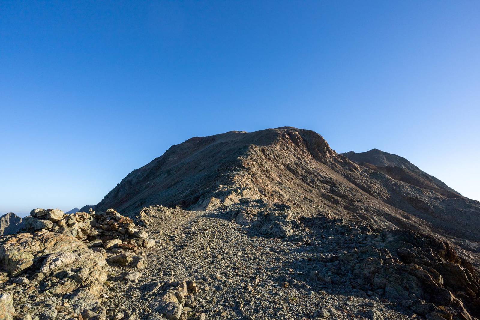
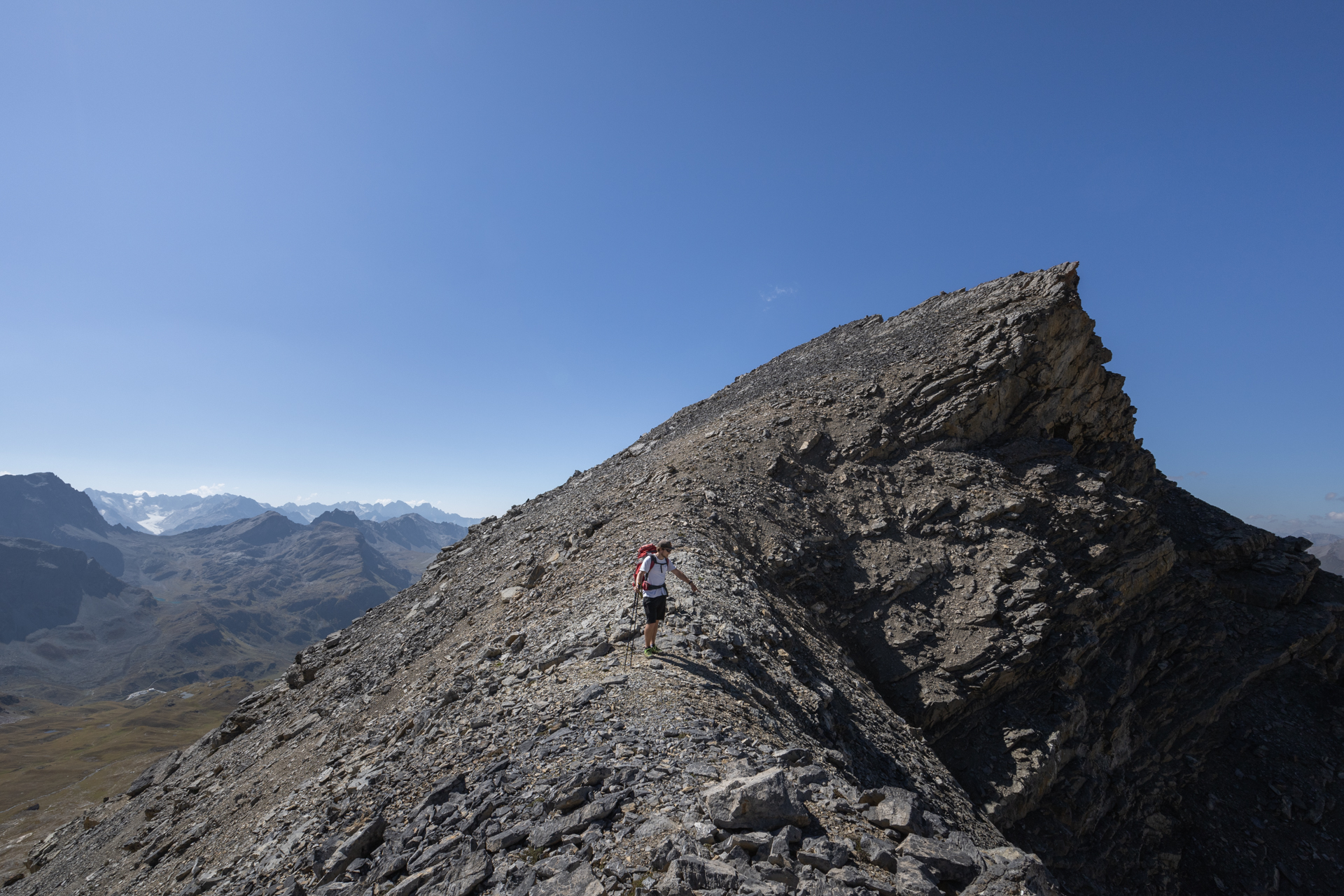
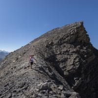
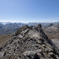
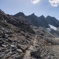
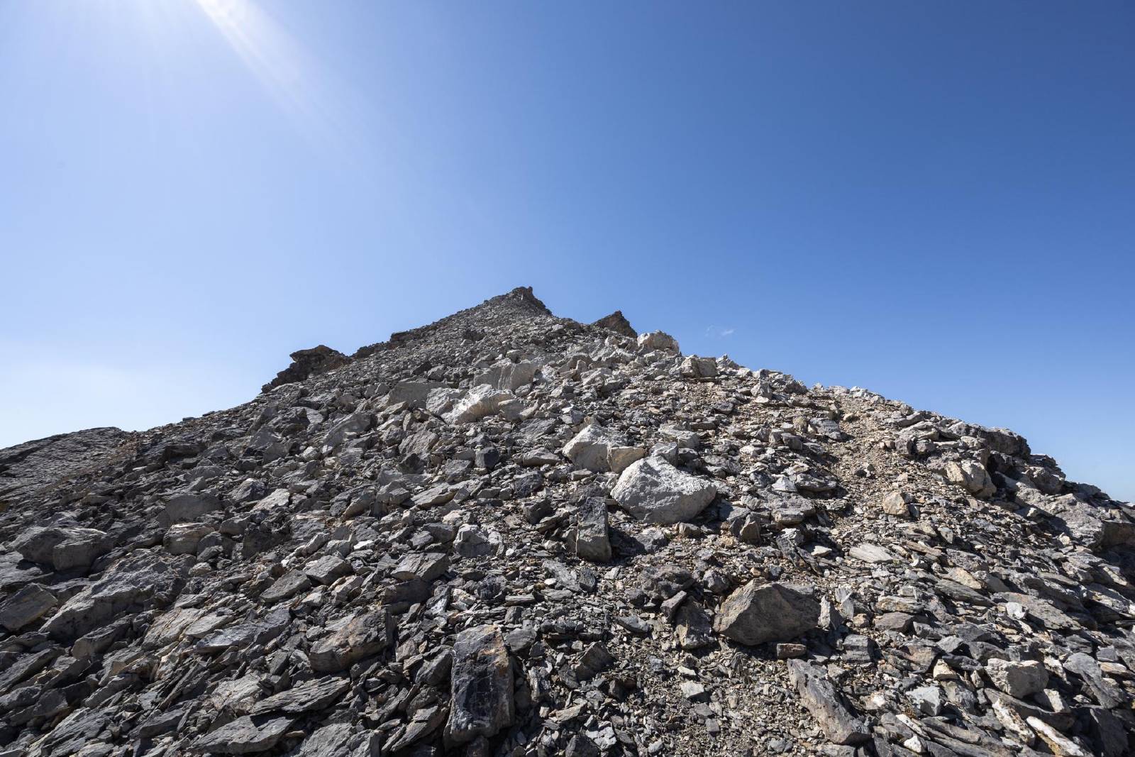
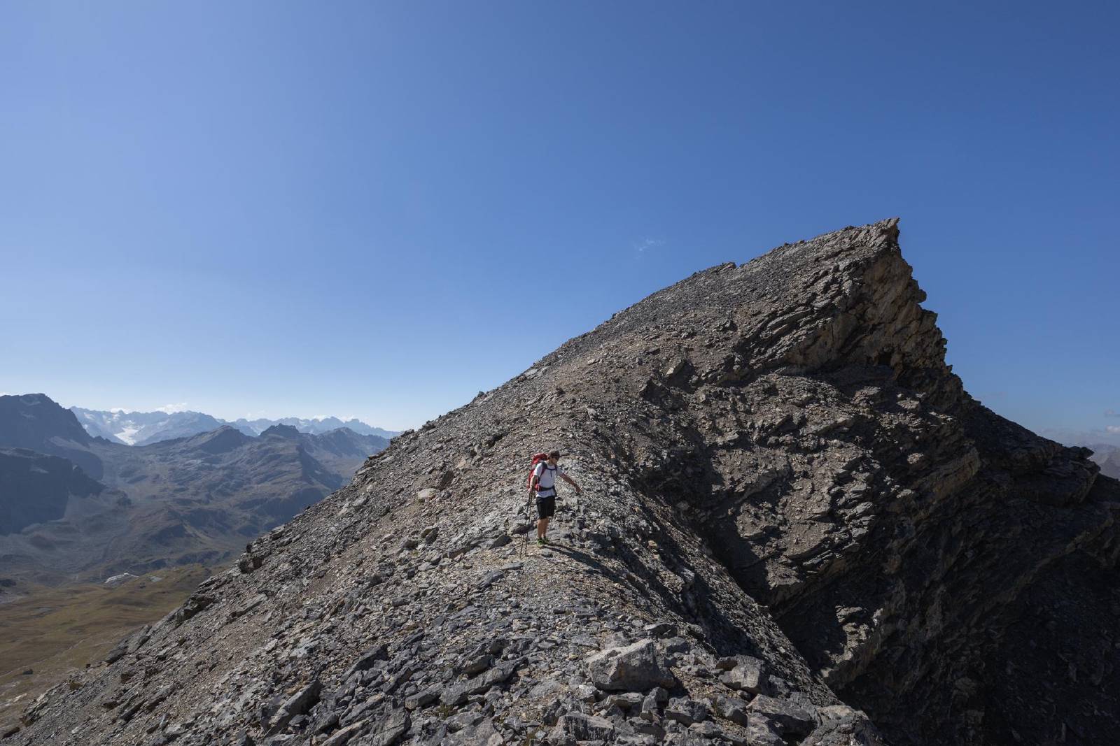
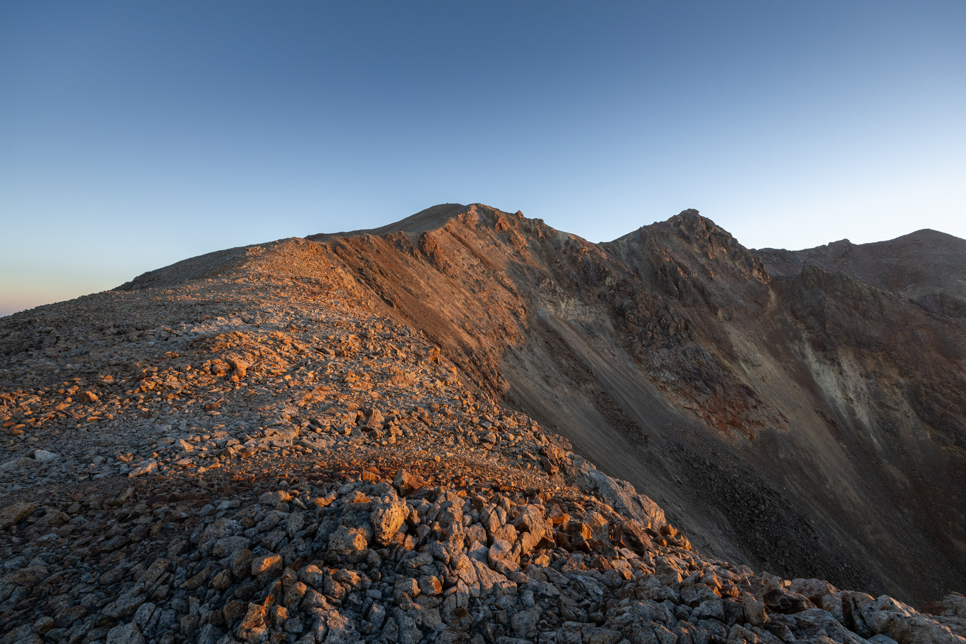
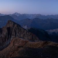
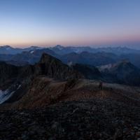
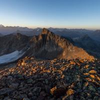
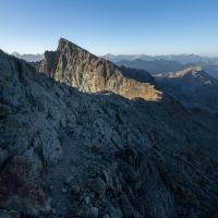
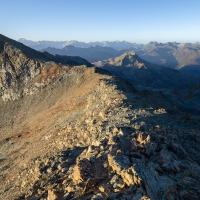
- Once we reached the Fuorcla da Flix, we continued along the
south-ridge towards the Tschima da Flix.
- We found the ridge to be quite wide, although there were a handful of scrambling sections that required the use of our hands.
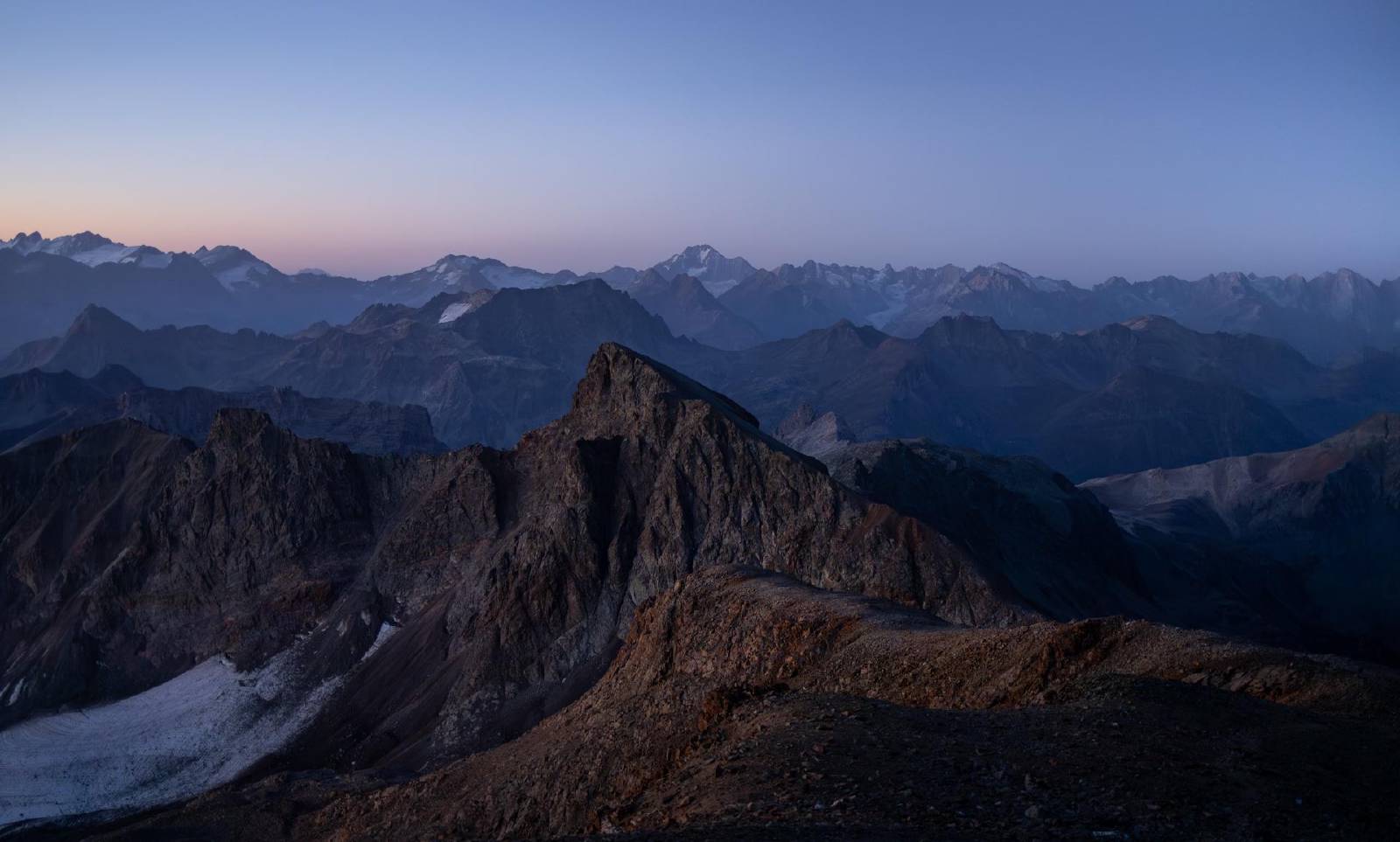
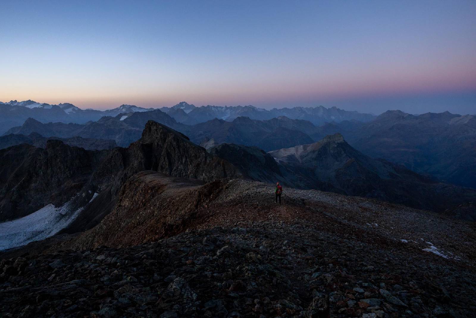
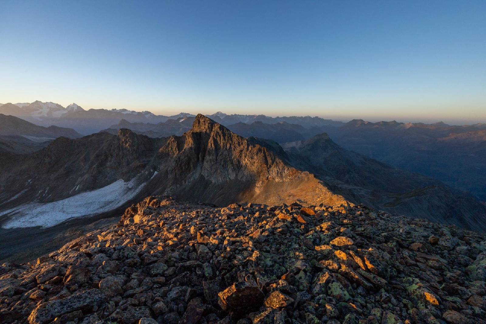
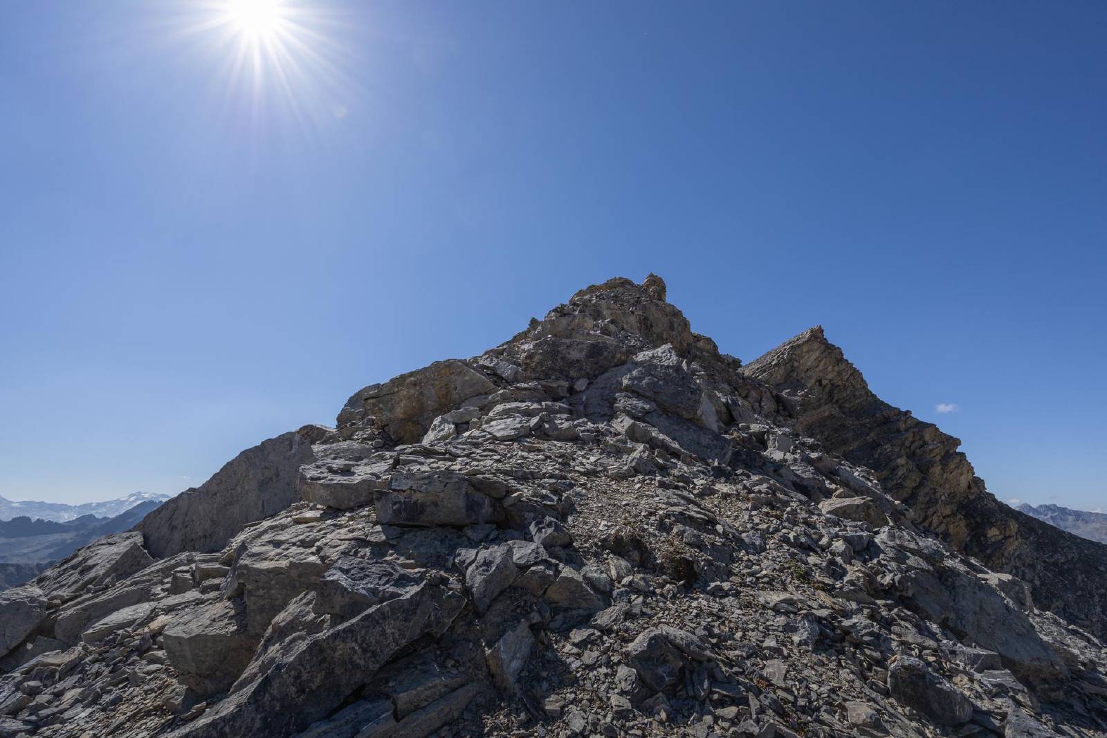
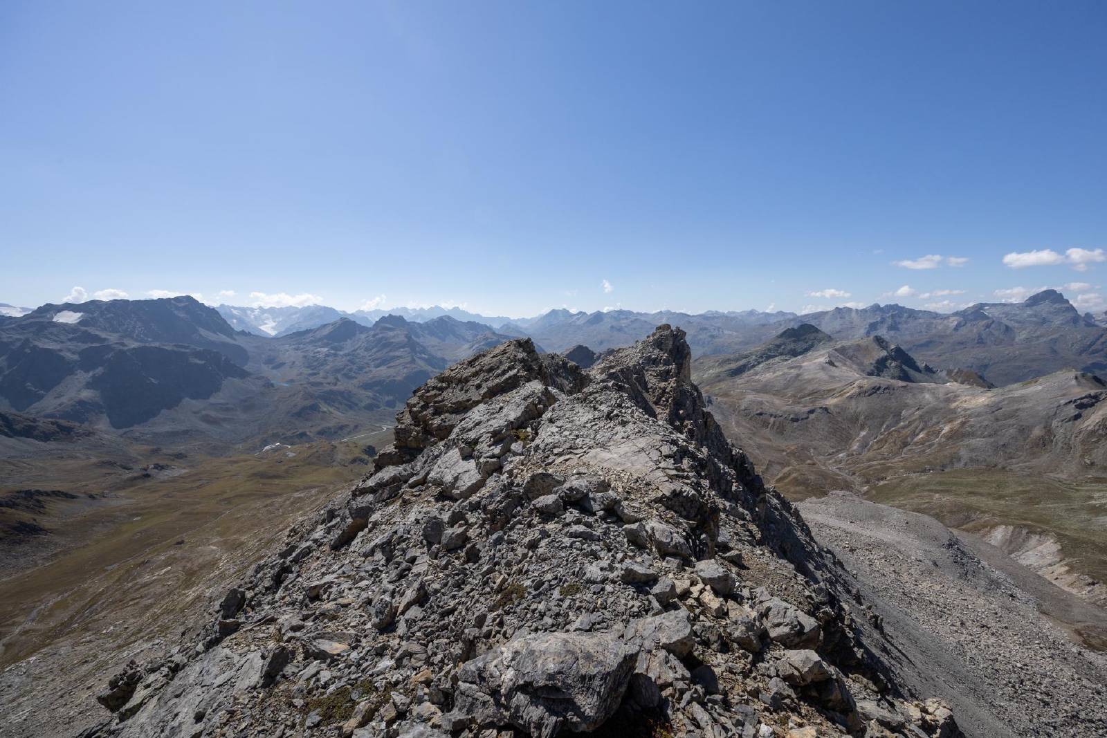
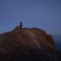
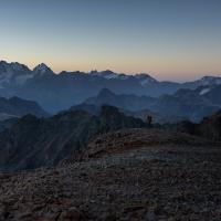
- We reached the Tschima da Flix (Westgipfel) shortly before sunrise
and then headed back down the south-ridge.
- The ridge towards the main peak of the Tschima da Flix looked more exposed than the ascent to the Westgipfel, so we opted to leave this out for this time.
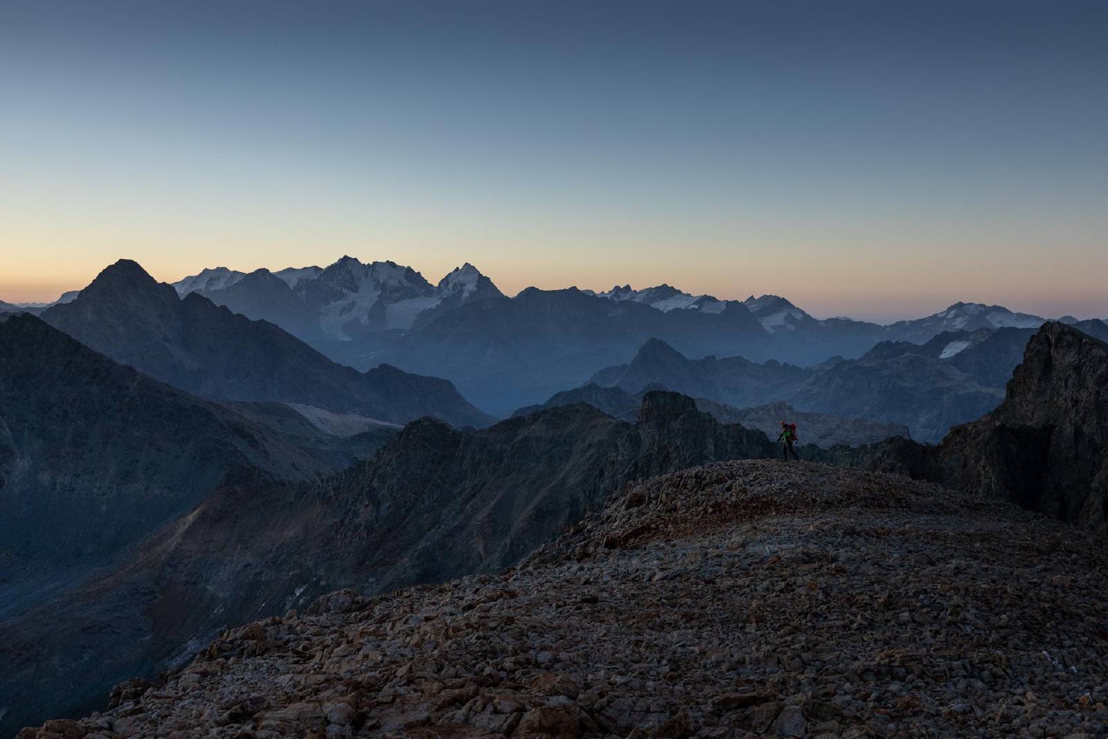
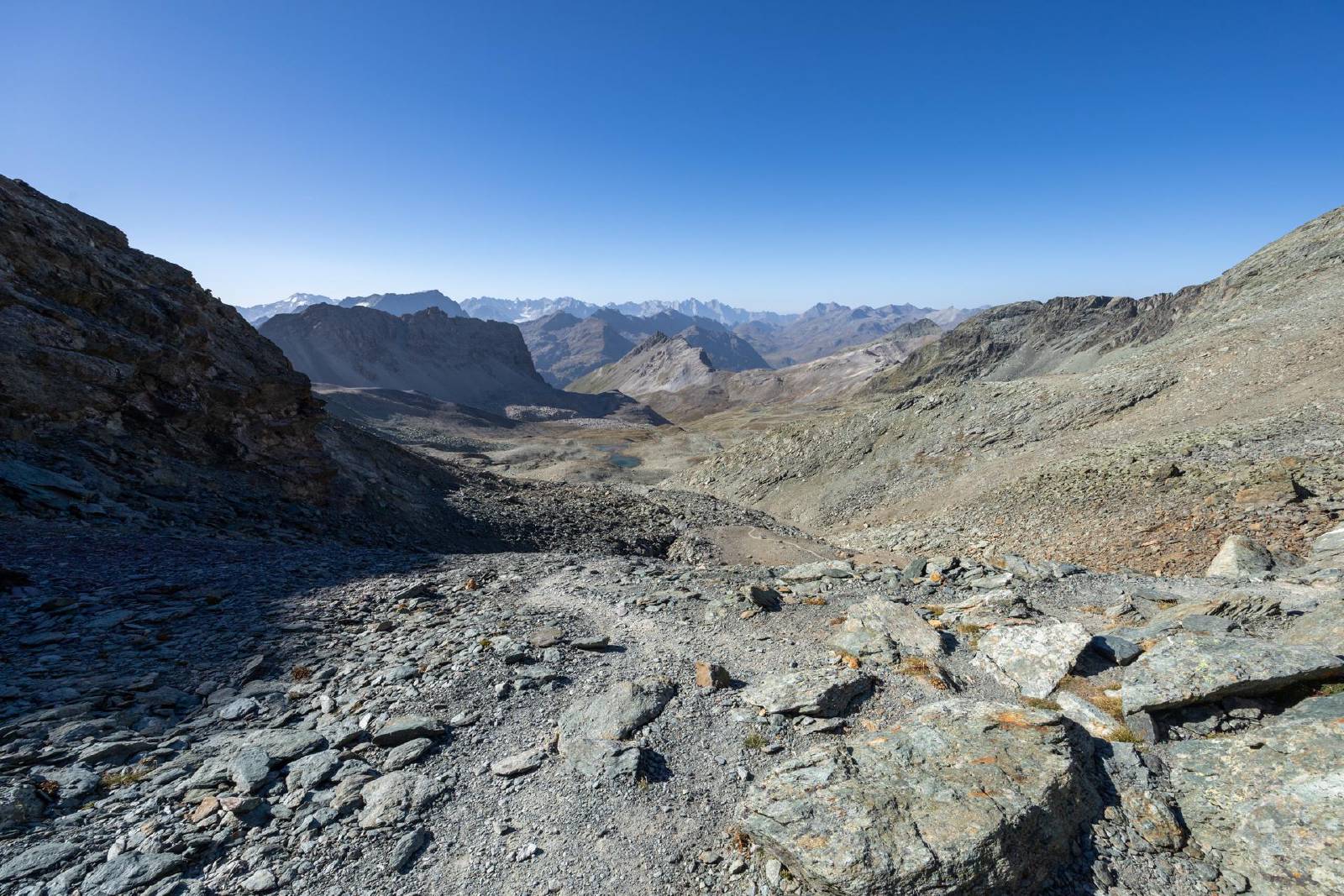
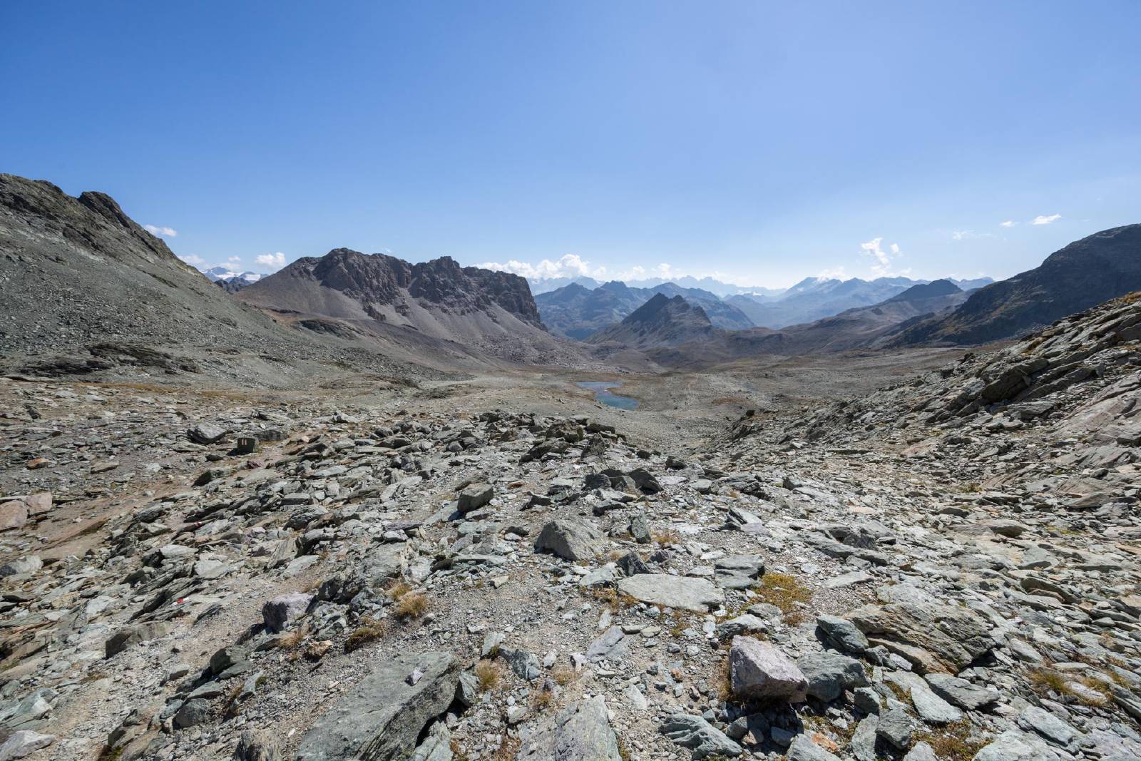
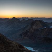
- After sunrise, we descended back down to the Fuorcla da Flix and then returned to the Julierpass via the Fuorcla d’Agnel (same route as from the day before).
Gallery
×
❮
❯