Schwalmis
September 18, 2021 by Pat and Bruno ‐ 5 min read
| Difficulty | T3+ |
|---|---|
| ⇄ Distance | 11.8 km |
| ↑ Up | 880 m |
| ↓ Down | 880 m |
| Notable Locations | Schwalmis, Risetenstock |
| Public Transit Access? | Yes |
Quick Summary #
- A hike in the somewhat less-well-known valley of
Isenthal - Took a small cable car to the starting point of the hike
- Ascended two main peaks for the day:
- Schwalmis
- Risetenstock
- There are a few exposed passages, notably:
- Traverse over the
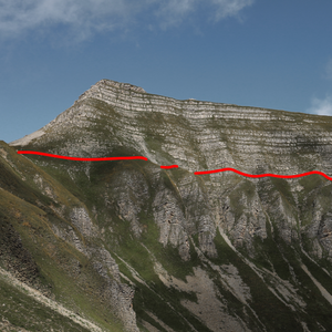
Glattgrat after theRisetenstock - An extremely narrow path between the
Schuenegg and theSteinalper Jochi
- Traverse over the
Arrival #
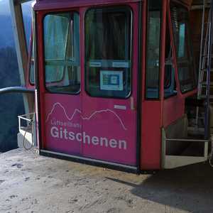
We reached the starting point of the hike via cable car in St. Jakob (end of the
Isenthal). The cable car station can be reached via public transit by taking a
PostAuto from
There’s a landline telephone in the cable car station that we had to use to request for the cable car to run — it’s a little old-school, but it gets the job done. We payed for the cable car ride once we got to the top.
Schwalmis #
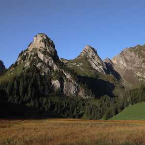
The first portion of the hike from the cable car in
Marsh plain.
Risetenstock.
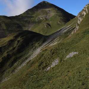
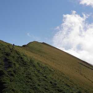
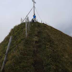
After about 150 m of elevation gain, we’d reached the ridge which led to the
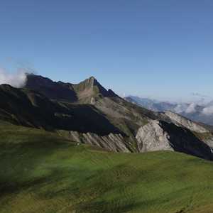
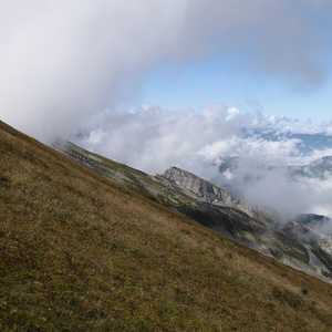
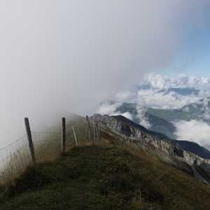
We didn’t stay at the top for long — it was quite windy and a cloud swept in right as we got to the top. We still had a nice view over the valley in one direction, but only a wall of fog in the other.
Risetenstock #
The next peak of the day was the
Once we got back to the path near the marsh plain, there were two parallel paths
that led to the
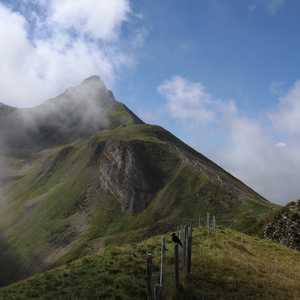
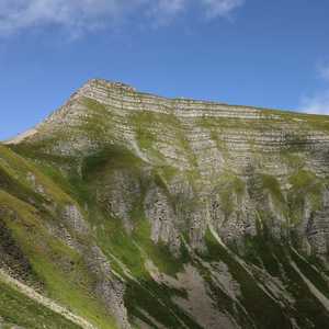
The last bit up to the
Glattgrat #
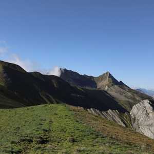
The
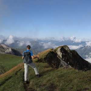
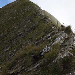
Something that became apparent pretty quickly was where the Glattgrat gets its name from — there were quite a few spots with fairly smooth rock sections. While not normally problematic, we had to be mindful of our footing since all of the rocks were wet from the fog.
Steinalper Jochli and Geissboden #
While we hadn’t seen almost anyone on the path so far, we encountered quite a number of small groups once we got to the
The brief traverse from the

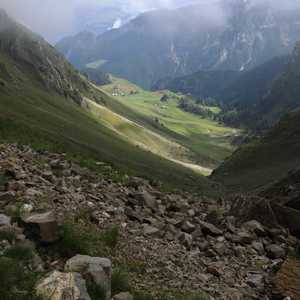
The hike from here down the valley towards
From Geissboden we followed a gravel road back to
