Piz Terza
October 16, 2021 by Pat and Bruno ‐ 5 min read
| Difficulty | T2 |
|---|---|
| ⇄ Distance | 15.5 km |
| ↑ Up | 970 m |
| ↓ Down | 970 m |
| Notable Locations | Lü (Val Müstair), Piz Terza |
| Public Transit Access? | Yes |
Quick Summary #
- A fairly lengthy hike from
Lü to thePiz Terza in theVal Müstair - There was a nice mix of relatively chill gravel roads and some steeper hiking paths
- Given the relatively high elevation of the
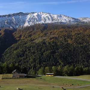
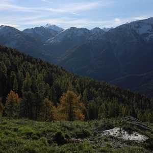
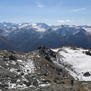
Piz Terza (2909 m), the peak had some incredible views of the surrounding mountains - Beginning/end of the hike goes through a forest filled with
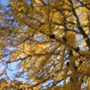
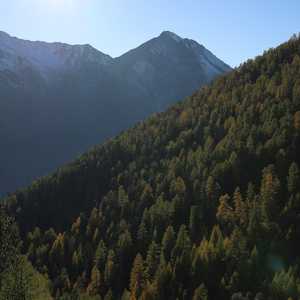
larch trees which add a ton of colour in the autumn months
Arrival in Lü #
We arrived in
Alp Tabladatsch #
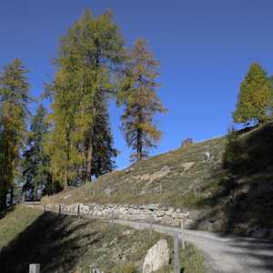
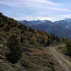
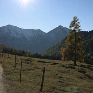
The first portion of the hike was along a gravel road through the forest — amazing views with the yellow larch trees all around. We were quite surprised by how few people were on the trail here despite it being a spot which is so accessible with public transit. It was also a weekend when we were here so we really lucked out with the lack of other hikers on the trail
Pretty much the entire part up to the
Piz Terza #
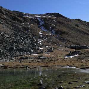
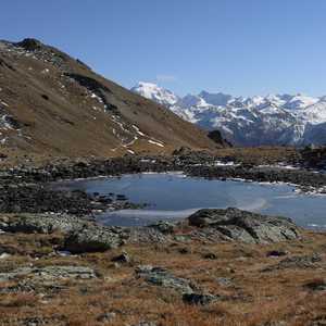
This portion of the hike followed a stream up to a small lake near the
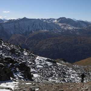
This part of the trail was quite a bit steeper than the previous parts, but was not at all exposed. The path was well marked and generally unproblematic to traverse apart from a few patches of ice and snow.
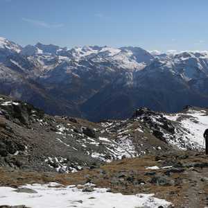
We started hitting more frequent snow fields once we got above an elevation of around 2600m to 2700m. As mentioned though, this path was not at all exposed so these additional obstacles only resulted in the hiking times being a little longer than expected but did not otherwise impact the hike at all.
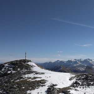
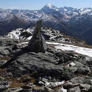
Once at the top of the
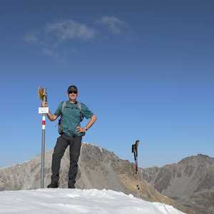
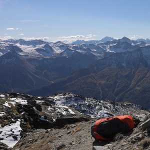
We took a well deserved break at the summit, had some lunch, and enjoyed the views.
Fuorcla Sassalba #
After a short rest, we made our way back down the same path which we had taken up to the summit. We followed this path all the way back to the small lake below the
Once we had arrived at this small alpine lake, we made our way up to the upper (and slightly larger) lake on the
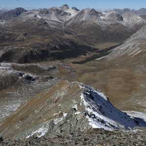
As expected, we encountered considerably more snow/ice while heading down the north side of the
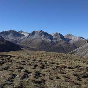
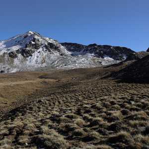
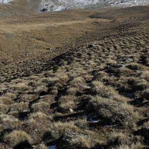
We followed these relatively flat plains down the valley towards the treeline. The regular grass mounds along this plain cast some fairly dramatic shadows in the afternoon sun which made for some relatively nice photographs.
We followed this plain until we reached the
Return to Lü #
The final portion of the hike back along the gravel road heading towards
While a little on the longer side, this hike was absolutely beautiful and had the benefit of not being technically challenging.
