Nepali Highway
September 3, 2020 by Pat and Bruno ‐ 3 min read
| Difficulty | T3+ |
|---|---|
| ⇄ Distance | 10.8 km |
| ↑ Up | 350 m |
| ↓ Down | 670 m |
| Notable Locations | Furkapass, Sidelenhütte, Nepali Highway, Albert-Heim Hütte SAC, Schafberg, Tiefenbach |
| Public Transit Access? | Yes |
Quick Summary #
- A gorgeous hike near the
Furkapass . - Parked the car near
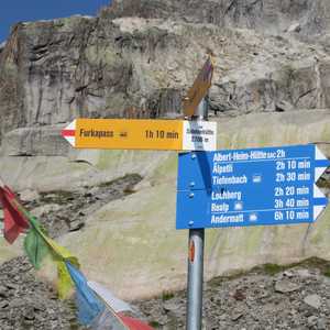
Tiefenbach , which is close to the top of theFurkapass .- Took the PostAuto from “
Tiefenbach (Furka) ” up to the stop “Furkapass, Hotel Furkablick ”.
- Took the PostAuto from “
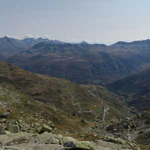
- Hiked from the
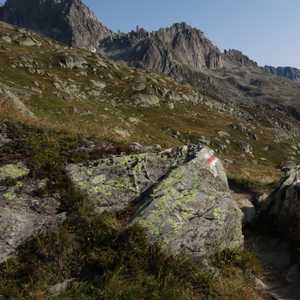
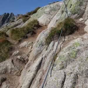
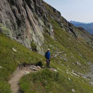
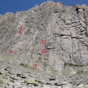
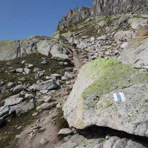
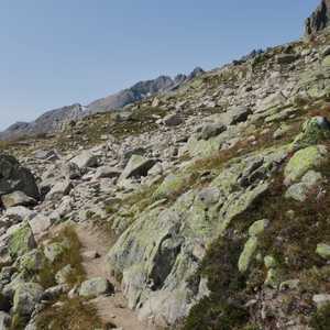
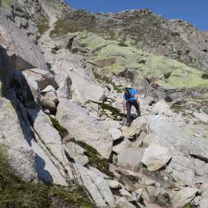
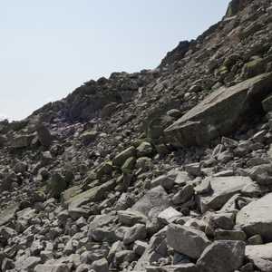
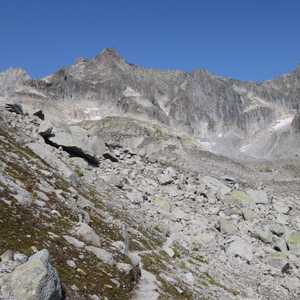
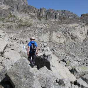
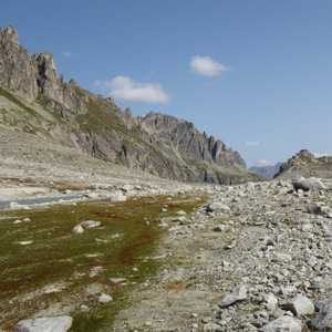
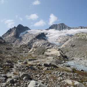
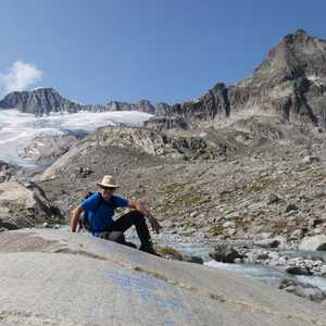
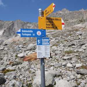
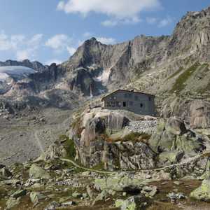
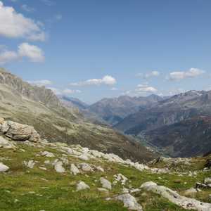
Furkapass to theSidelenhütte . - Took the Blue-White-Blue marked path known as the “
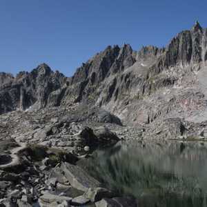
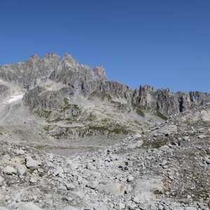
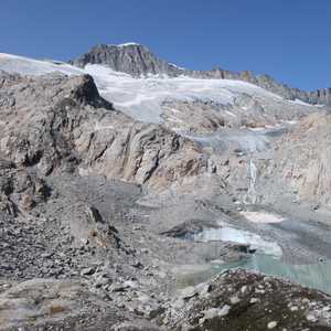
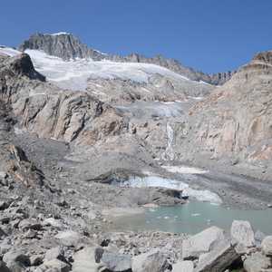
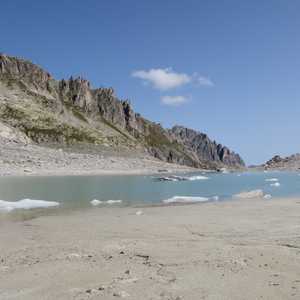
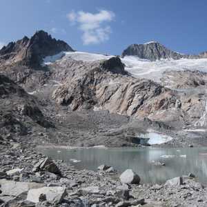
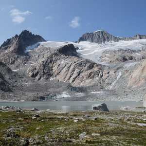
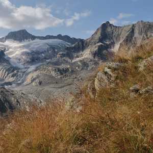
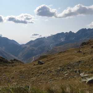
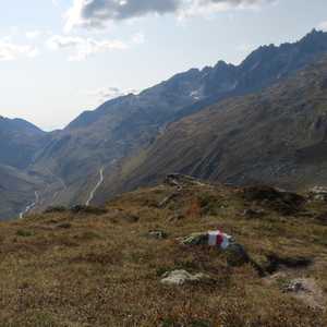
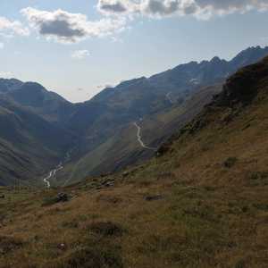
Nepali Highway ” to the base of theTiefengletscher . - After a stop at the lake at the terminus of the
Tiefengletscher , we hiked to theAlbert-Heim Hütte SAC . - Continued to the top of the
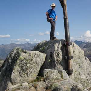
Schafberg .- Descended down the southern ridge of the
Schafberg toSchluechtbiel .
- Descended down the southern ridge of the
- Walked back along the gravel road to the parking lot near
Tiefenbach .
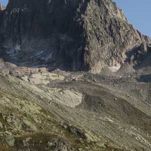
Sidelenhütte #
Nepali Highway #
Tiefengletscher and the Albert-Heim Hütte SAC #
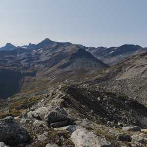
Schafberg and Return to Tiefenbach #
