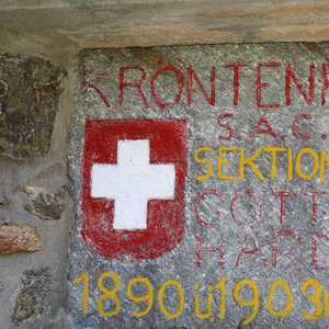
Kröntenhütte SAC
August 14, 2021 by Pat and Bruno ‐ 3 min read
| Difficulty | T2 |
|---|---|
| ⇄ Distance | 9.4 km |
| ↑ Up | 1060 m |
| ↓ Down | 1060 m |
| Notable Locations | Erstfeldertal, Kröntenhütte SAC |
| Public Transit Access? | No1 |
Quick Summary #
- A very warm hike to the
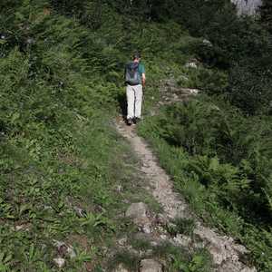
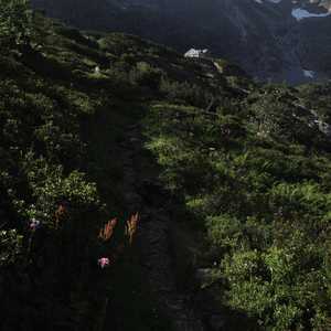
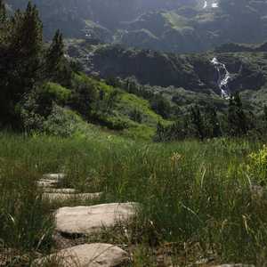
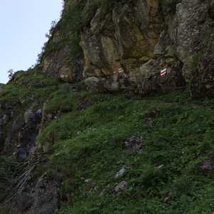
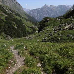
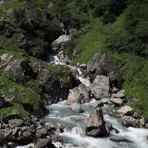
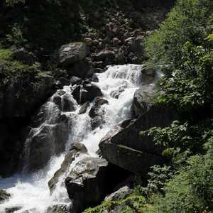
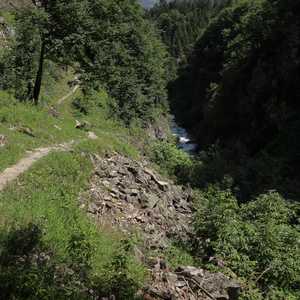
Kröntenhütte SAC near the city ofErstfeld . Special permit required to drive up theErstfeldertal was required; a day permit cost about 20.- and could be purchased at the Kiosk outside of the Migros on Gotthardstrasse- We decided to hike up on the southern side of the valley instead of the northern side. Most people seemed to hike up along the river on the north side so we had the trail mostly to ourselves if you hike up on the southern side
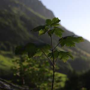
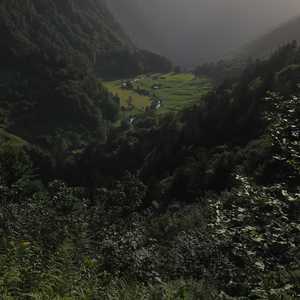
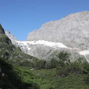
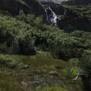
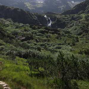
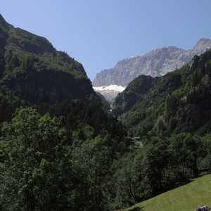
- As the thick green foliage suggests, this valley is quite temperate. We decided to go early in the morning because it can get extremely hot here later in the day during the summer months
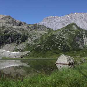
- We thoroughly enjoyed making a stop at the
Obersee near theKröntenhütte
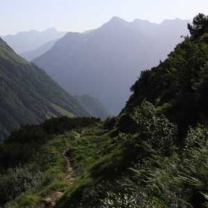
Ascent to the Kröntenhütte SAC #
Kröntenhütte and the Obersee #
Return Along the Alpbach #
-
There is an alp taxi that we could have taken from Erstfeld up to Bodenberg, but this was not part of the standard SBB timetable. ↩︎
