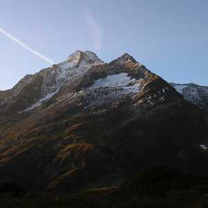
Guferjoch
September 25, 2021 by Pat and Bruno ‐ 6 min read
| Difficulty | T4+ |
|---|---|
| ⇄ Distance | 11.9 km |
| ↑ Up | 1180 m |
| ↓ Down | 1180 m |
| Notable Locations | Sustlihütte SAC, Guferjoch, Sustenlochfirn, Sustenpass |
| Public Transit Access? | Yes |
Quick Summary #
- Drove to the
Sustenbrüggli close to the top of theSustenpass - Hiked up the
Leiterweg to theSustlihütte SAC - Traversed along the valley following the alpine trail towards the base of the
Guferjoch - Ascended the Guferjoch from the eastern side
- The ascent was secured with chains, but was very exposed
- Descended the Guferjoch on the western side onto the
Sustenlochfirn - Similar to the ascent, the descent was also very exposed and had several near-vertical scrambling passages
- Took the “new” path over the
Sustenlochfirn - Followed the trail to the
Sustenpass - Hiked along the retired pass road back to where we parked at the
Sustenbrüggli
Arrival #
We parked near the
Alternatively, we could have arrived the evening before and stayed at the
Sustlihütte SAC (Leiterweg) #
The first part of this hike had two possible routes: the
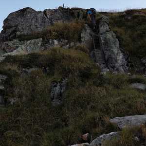
Ladders along the
Looking towards the
At the end of the
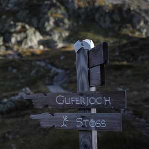
Although the Leiterweg had been marked as a regular hiking path (white-red-white markings), the path as we continued on from the Sustlihütte SAC changed over to an alpine path (white-blue-white markings).
Traverse Across the Stöss #
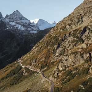
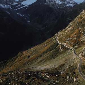
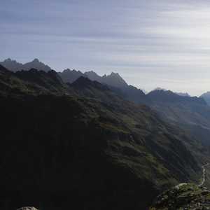
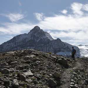
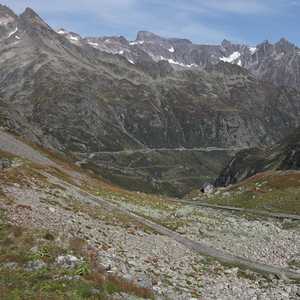
The hike from the Sustlihütte SAC to the base of the
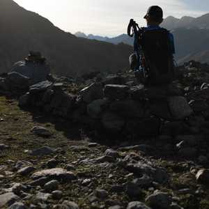
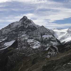
The dramatic shadows down the valley were truly incredible.
Ascent to the Guferjoch #
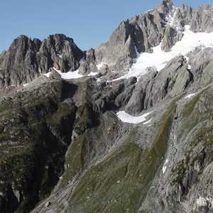
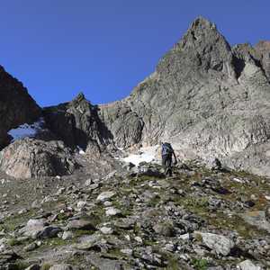
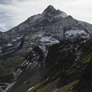
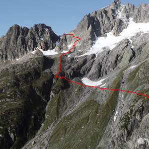
As is the case with many mountain paths, the exact path along the Stöss to the Guferjoch is not very apparent from the vantage point of the Sustlihütte. Here’s the approximate path to reach the Guferjoch:

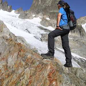
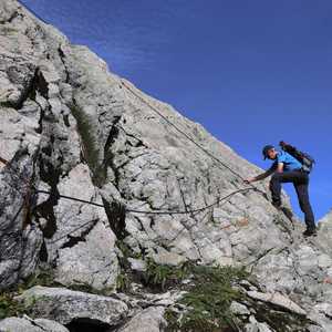
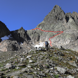
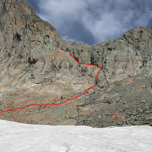
While most of the path so far had been in the realm of T3, the ascent to the Guferjoch seems to typically be rated at around a T4+. There were a number of fairly sketchy scrambling passages which are largely secured by chains and steel cables. The approximate route up the rock-face to the joch can be seen here:

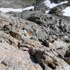
The first portion of the scramble was secured by a single long steel wire. This wire made the first part of the ascent considerably easier since good handholds were somewhat tricky to find in places due to the rocks having been smoothed considerably from glacial erosion.
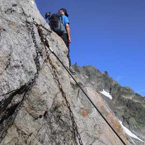
Following this first scramble, we traversed to the right-hand side of the rock-face, which was secured by a number of chains.
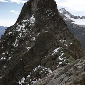
The third and final traverse moved back to the left-hand side of the face, back towards the joch. This was by far the most challenging part of the ascent due to there being several small near-vertical scrambling sections.
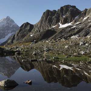
Once at the top, we were greeted with an incredible view over both sides of the valley — the sweat it took to get up here was definitely worth it!
Descent to the Sustenlochfirn #
The descent from the Guferjoch to the

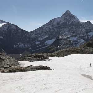
Something that became apparent to us when we got down to the
Sustenpass #
The hike back to the
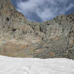
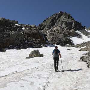
The path was generally well marked, both on the path and when crossing the snowfields. Note that some of the portions across some of the snowfields were marked by Steimännli (deliberately placed piles of rocks) as opposed to white-blue-white markings.
Return via 19th Century Pass Road #
Once we got to the
