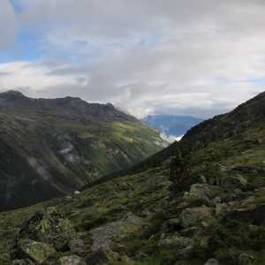
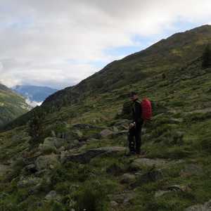
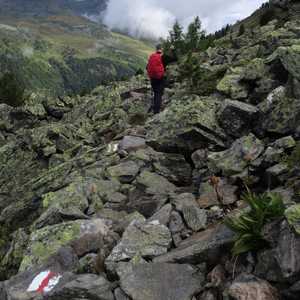
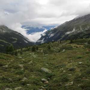
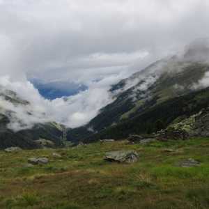
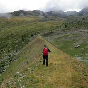
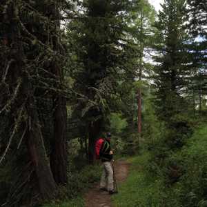
Barrhorn
August 12, 2018 by Pat and Bruno ‐ 7 min read
| Difficulty | T3+ |
|---|---|
| Numer of Days | 3 |
| ⇄ Total Distance | 24.9 km |
| ↑ Up | 1820 m |
| ↓ Down | 1880 m |
| Notable Locations | Turtmannhütte SAC, Üssers Barrhorn, Schöllijoch, Gruben |
| Public Transit Access? | Yes |
Quick Summary
- 3 day hike in
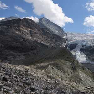
Turtmanntal in theWallis (one valley over from Zermatt) - We only used public transport to get to and from the Turtmanntal
- The
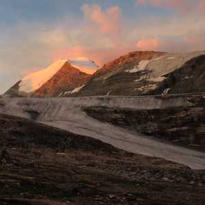
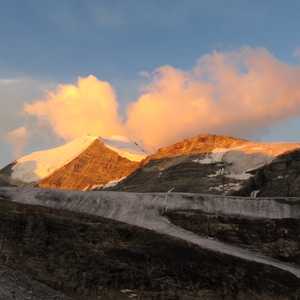
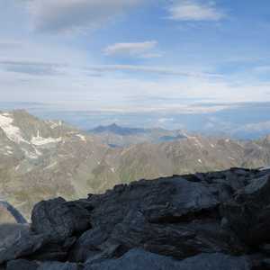
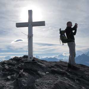
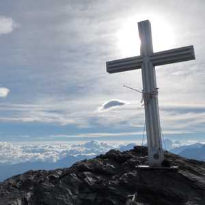
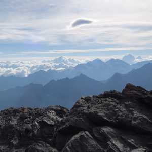
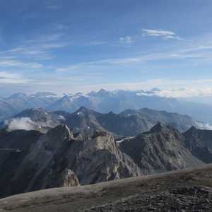
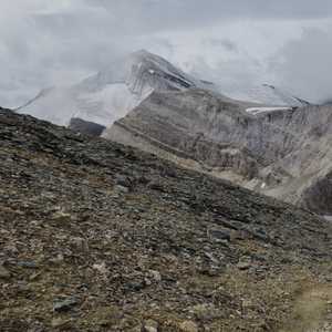
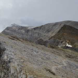
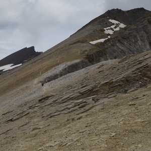
Üssers Barrhorn (3610m) has become quite renowned in recent years as being one of the highest peaks in the Alps with an officially marked hiking trail
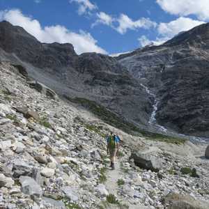
Day 1: Ascent to the Turtmannhütte SAC
| Difficulty | T2 |
|---|---|
| ⇄ Distance | 5.6 km |
| ↑ Up | 590 m |
| ↓ Down | 0 m |
| Notable Locations | Vorder Sänntum, Turtmannsee, Turtmannhütte SAC |
| Public Transit Access? | Yes |
Day 2: Üssers Barrhorn
| Difficulty | T3+ |
|---|---|
| ⇄ Distance | 9.6 km |
| ↑ Up | 1010 m |
| ↓ Down | 1010 m |
| Notable Locations | Turtmannhütte SAC, Üssers Barrhorn, Schöllijoch |
| Public Transit Access? | N/A |
Day 3: Return to Gruben
| Difficulty | T2 |
|---|---|
| ⇄ Distance | 9.7 km |
| ↑ Up | 220 m |
| ↓ Down | 870 m |
| Notable Locations | Turtmannhütte SAC, Ämser Schafalpu, Gruben |
| Public Transit Access? | Yes1 |
-
There was indeed an alp taxi that was part of the standard SBB timetable. However, it drove very infrequently so we decided to charter an alp taxi ride from Gruben back to Oberems. While quite a bit more expensive than the standard alp taxi faire, it was well worth the cost given how many hours of waiting we ended up saving. ↩︎
